Hello Friends,
Wish I was there this morning… light westerly breeze and a combo of SSE and NE swells sending in waves from the east that should be solidly head and a bit on the bombs. Ocean temp is still 19C too. Tide was high early and is dropping to a low around midday. Get out there if you can!
Don’t feel bad if you can’t hit it today, from the look of the models you should have surf options through midweek at least – ya lucky pups!
Here’s the marine forecast…
Weather Situation
A weak high pressure ridge lies over southern Australia. After a weak front slip across southern waters of New South Wales early Tuesday, the ridge will strengthen and become centred over Tasmania by Wednesday evening. From Thursday through to the end of the week this high pressure system will drift eastward across the southern Tasman Sea.
Forecast for Monday until midnight
- Winds
- Westerly about 10 knots tending variable in the middle of the day and north to northeasterly in the evening.
- Seas
- Below 1 metre.
- Swell
- Easterly 2 metres.
- Weather
- Mostly sunny.
Tuesday 2 July
- Winds
- Northerly 10 to 15 knots turning westerly during the morning then tending south to southeasterly 15 to 20 knots in the evening.
- Seas
- Around 1 metre, increasing to 1 to 1.5 metres later in the evening.
- Swell
- Easterly 1.5 to 2 metres.
- Weather
- Partly cloudy.
Wednesday 3 July
- Winds
- Southerly 10 to 15 knots turning southeasterly 15 to 20 knots during the morning.
- Seas
- 1 to 1.5 metres.
- 1st Swell
- Southerly below 1 metre, increasing to 1 to 1.5 metres during the afternoon.
- 2nd Swell
- Easterly 1.5 metres.
- Weather
- Partly cloudy.
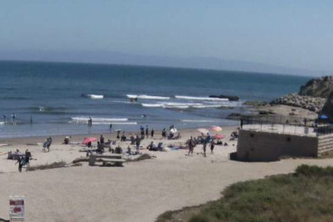
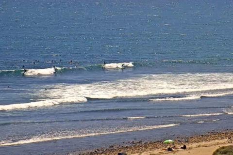
Postcards from Cali: