Hello Friends,
Through the wonder of the Internet I can see that I’m really missing out this morning in Sydney. Conditions aren’t astoundingly good, but they do look fun with wave faces into the shoulder high range on a somewhat bumpy looking wind swell. It’s still coming from the east but has clicked down to around 1.5 metres at 10 seconds apart. High tide’s around noon and the forecast is for light and variable wind.
The models indicate a steady fading trend across the rest of the week, but then maybe next weekend you could see another pulse of interest.
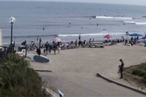
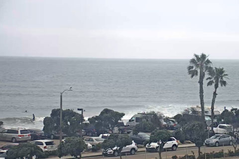
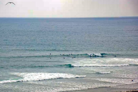
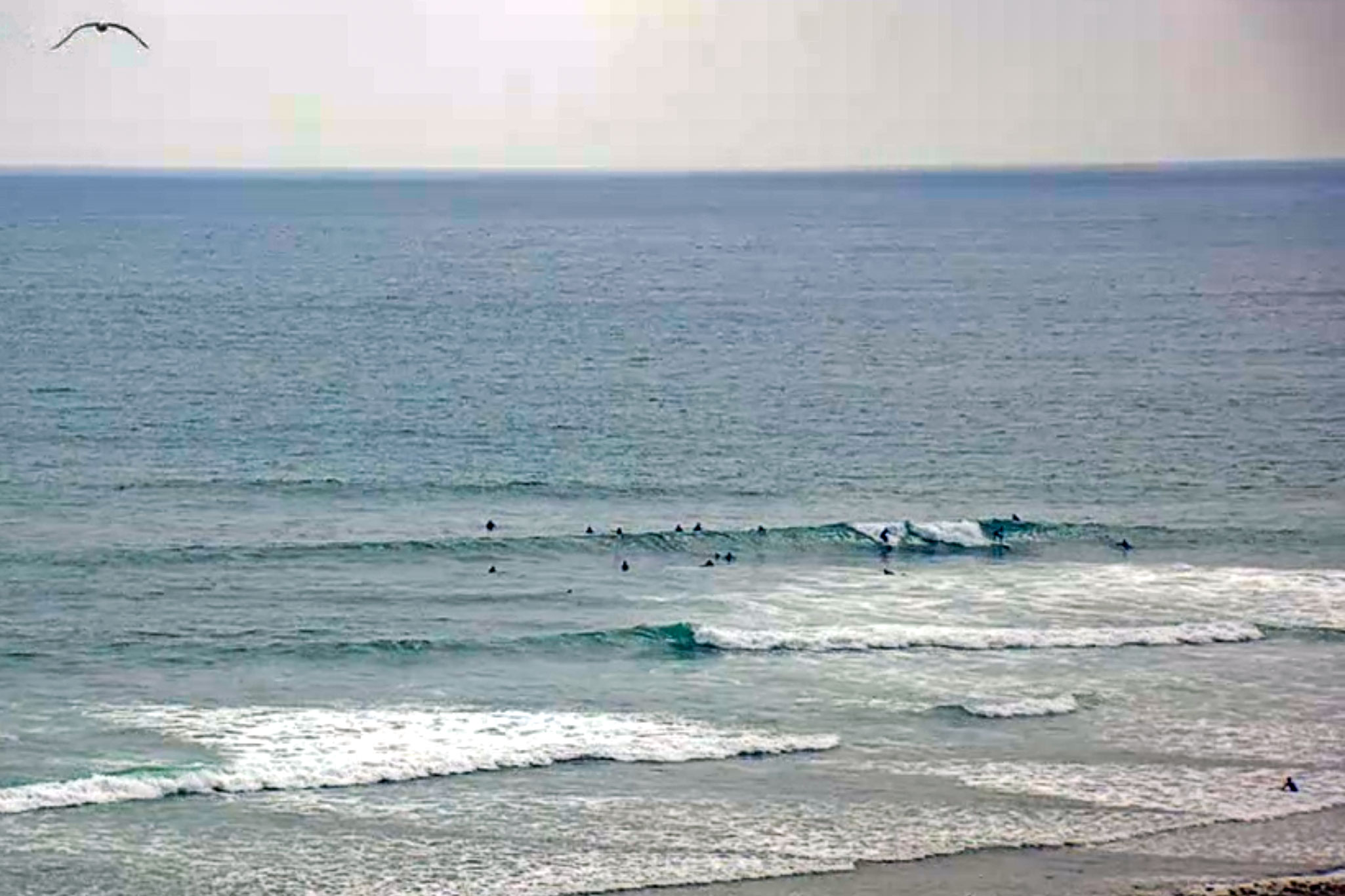
Wish I could say the same for southern California…
Weather Situation
A strong high pressure system over the southern Tasman Sea is slowly moving east while a trough approaches from the west. This pattern is directing southeasterly winds in the north, and northerly winds in the south. The trough will bring a south to southwesterly change to southern and central parts on Monday and the north coast on Tuesday.
Forecast for Sunday until midnight
- Winds
- Variable about 10 knots.
- Seas
- Below 1 metre.
- Swell
- Easterly 1 to 1.5 metres.
- Weather
- Partly cloudy.
Monday 8 July
- Winds
- North to northwesterly 10 to 15 knots turning west to southwesterly in the afternoon. Winds reaching up to 20 knots in the late afternoon.
- Seas
- Below 1 metre, increasing to 1 to 1.5 metres during the afternoon.
- Swell
- Easterly around 1 metre.
- Weather
- Partly cloudy. 70% chance of showers and the chance of a thunderstorm.
Tuesday 9 July
- Winds
- Southwesterly 15 to 20 knots decreasing to about 10 knots during the day.
- Seas
- 1 to 1.5 metres.
- 1st Swell
- South to southeasterly 1 to 1.5 metres.
- 2nd Swell
- Easterly around 1 metre.
- Weather
- Partly cloudy.