Hello Friends,
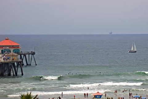
10-15 kts if WSW as the day got started in Sydney. Swell’s about a metre at 10 seconds from the ESE. I’d say knee to waist at magnets. Tide’s low at around 0700 and will be back to high at 1310. Weather should be sunny with a high of 19 – same as the water. The Bureau has a warning for deceptively powerful surf, but I’m not seeing anything in the modelling on that front. Still looks as though it’ll get smaller for the rest of the week and maybe perk up on Sunday or thereabouts.
Weather Situation
A band of high pressure will continue to assert itself across the region, as a trough of low pressure to moves further in to the Tasman sea. Southwesterly winds remain in place in the wake of the trough and will freshen and tend westerly on Thursday ahead of a cold front.
Forecast for Tuesday until midnight
Winds
South to southwesterly 10 to 15 knots turning westerly 15 to 20 knots during the morning.
Seas
1.5 metres, decreasing to 1 metre during the morning.
1st Swell
Southerly 1 to 1.5 metres.
2nd Swell
Easterly around 1 metre.
Weather
Partly cloudy.
Caution
Surf conditions in the afternoon and evening may be more powerful than they appear and are expected to be hazardous for coastal activities such as crossing bars by boat and rock fishing.
Wednesday 10 July
Winds
Westerly 15 to 20 knots turning northwesterly in the evening.
Seas
1 to 1.5 metres.
Swell
Southerly 1 to 1.5 metres.
Weather
Sunny.
Caution
Surf conditions in the morning may be more powerful than they appear and are expected to be hazardous for coastal activities such as crossing bars by boat and rock fishing.
Thursday 11 July
Winds
Northwesterly 20 to 30 knots turning westerly 15 to 25 knots during the day.
Seas
2 to 3 metres.
Swell
Southerly 1 to 1.5 metres, decreasing to around 1 metre during the morning.
Weather
Mostly sunny.
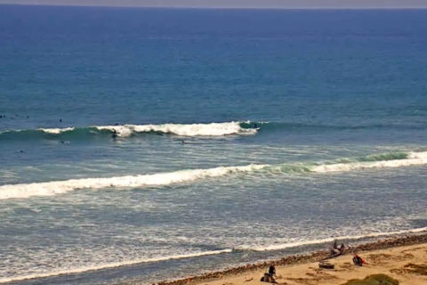
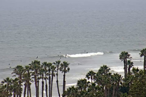
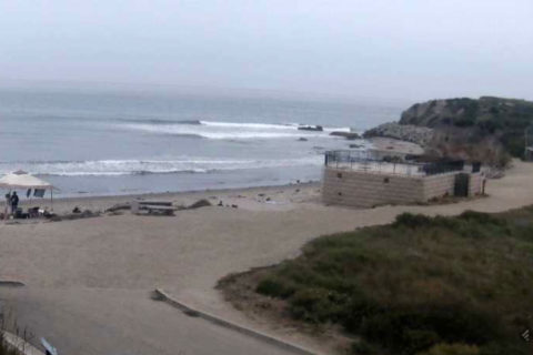
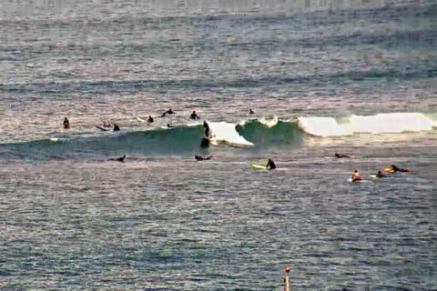
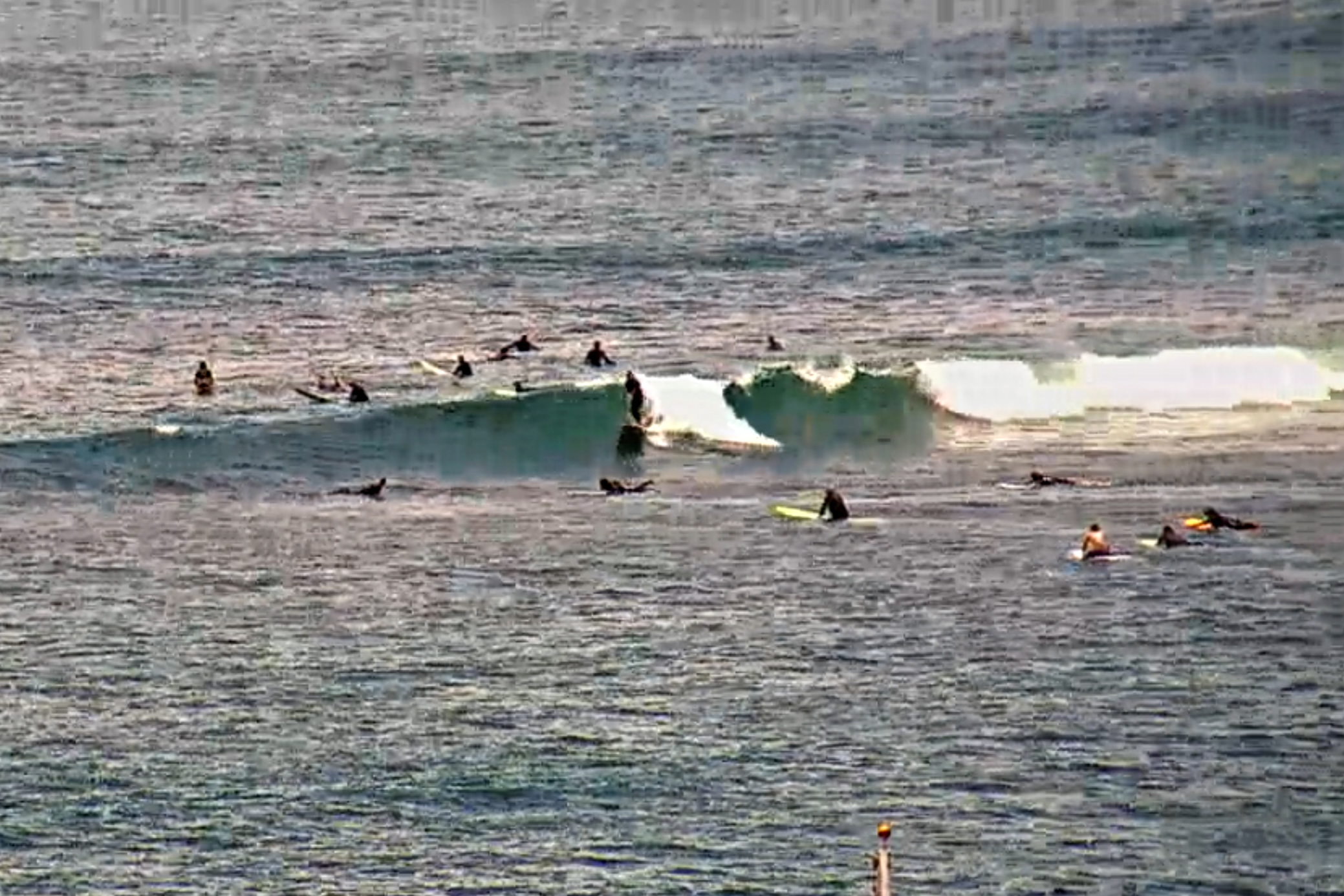
POSTCARDS FROM CALI…
Crazy uncrowded down south this morning. Sydney weekday size crowds (15-20) at Lowers, HB and astoundingly, Malibu. Dunno what’s going on… Not much of anything here in SB unfortunately.