Hello Friends,
Putting this first, surf report stuff below:
Dangerous fire conditions forecast for Tuesday 12 November
Published Date: 10 Nov 2019
Summary
Catastrophic fire danger is now forecast for the Greater Sydney, Greater Hunter and Illawarra Shoalhaven areas on Tuesday 12 November 2019, due to worsening weather conditions.
Catastrophic fire danger – Sydney, Hunter and Illawarra/Shoalhaven areas
Catastrophic is the highest level of bush fire danger. Homes are not designed to withstand a fire under these conditions.
If a fire starts and takes hold during Catastrophic fire danger conditions, lives and homes will be at risk.
Advice for people in areas of Catastrophic fire danger include:
- Avoid bush fire prone areas. A safer area may be a large town or city, shopping centres or facilities well away from bushland areas.
- Schools in identified high risk areas will be closed. Schools will notify affected students. Start making arrangements now.
- If you are unable to leave, identify a safe location which may be nearby. This may include a Neighbourhood Safer Place.
Large areas of the state are also forecast to experience Severe and Extreme fire danger.
RFS Fires Near Me real-time fire map for NSW

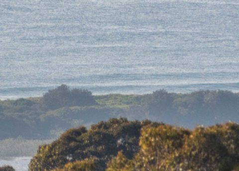
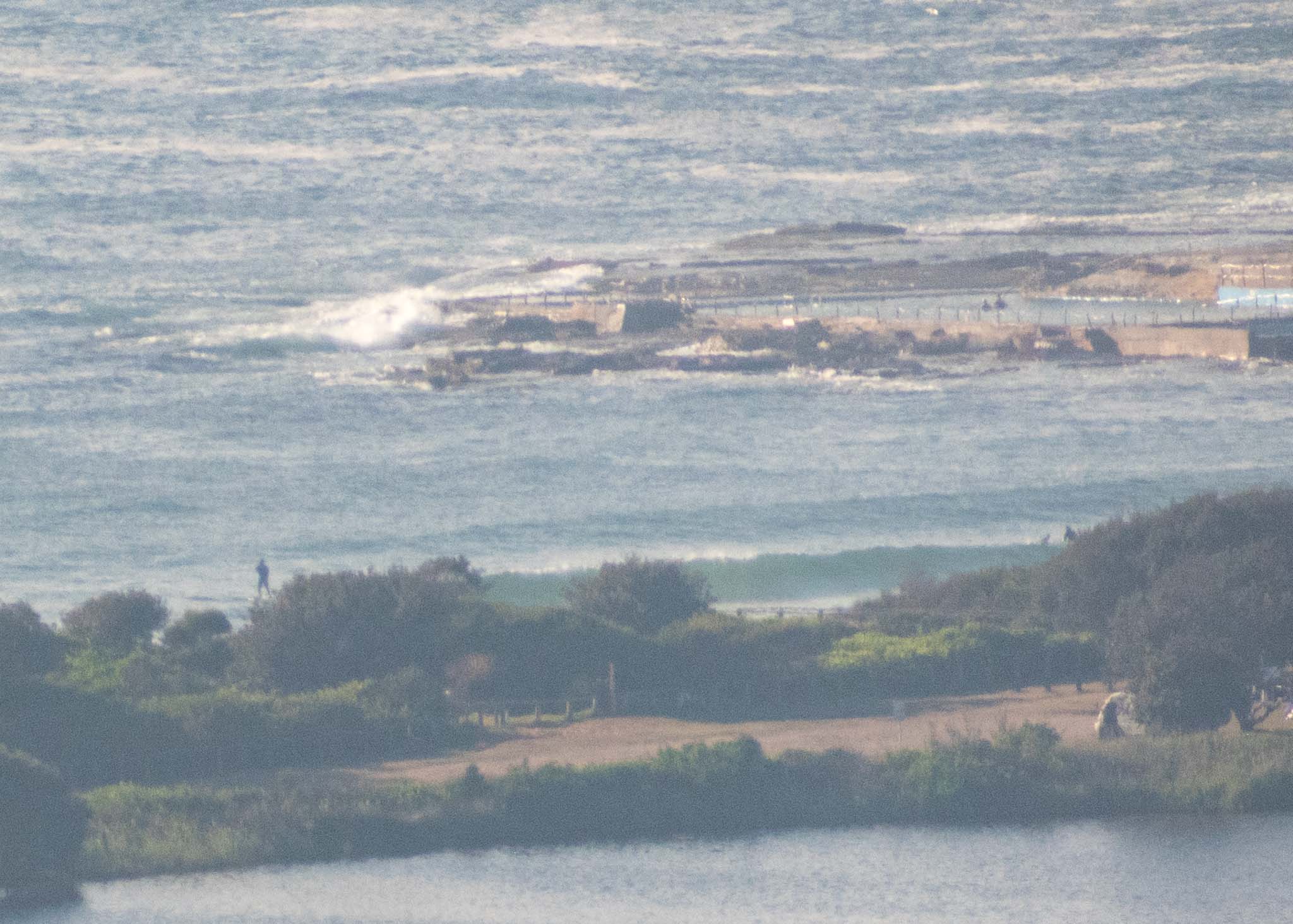
As you can see from the pictures, it’s pretty smoky and there’s nothing much going on at the Dee Why end of the beach this morning. Swell out at sea is coming from the south with heights at sea in the 1.6 m range at about 6 seconds. Water is 19C. Wind as of 0800 was 10-15 kts from the NNW.
Tomorrow should see southerly to SW wind and an uptick into (hopefully) the surfable range at south magnets.
Stay safe everyone!
Weather Situation
A high pressure system lies over the northern Tasman Sea, while a cold front approaches New South Wales from the west. This front will bring a vigorous southerly change to southern and central waters today, reaching the northern border by early Wednesday. On Wednesday, a high pressure ridge is forecast to develop in the wake of the front and should remain dominant until another, weaker, cold front arrives later Friday or Saturday.
Forecast for Tuesday until midnight
Gale Warning for Tuesday for Sydney Coast
Winds
Northerly 15 to 25 knots, tending north to northwesterly during the day ahead of a gusty southerly change 25 to 35 knots in the evening.
Seas
1.5 to 2.5 metres, increasing to 2.5 to 3.5 metres in the evening.
Swell
Southerly 1 to 1.5 metres.
Weather
Sunny.
Wednesday 13 November
Strong Wind Warning for Wednesday for Sydney Coast
Winds
South to southwesterly 15 to 25 knots, reaching 30 knots early in the morning, shifting east to northeasterly around 10 knots in the evening.
Seas
2 to 3 metres, decreasing to 1 to 2 metres during the morning, then decreasing below 1 metre during the afternoon.
1st Swell
Southerly below 1 metre, increasing to 1.5 to 2.5 metres during the morning.
2nd Swell
Northeasterly around 1 metre.
Weather
Mostly sunny.
Thursday 14 November
Winds
Westerly 10 to 15 knots shifting northeasterly during the afternoon then tending northerly during the evening.
Seas
Around 1 metre.
Swell
Southerly 1 to 1.5 metres inshore, increasing to 1.5 to 2 metres offshore.
Weather
Sunny.

