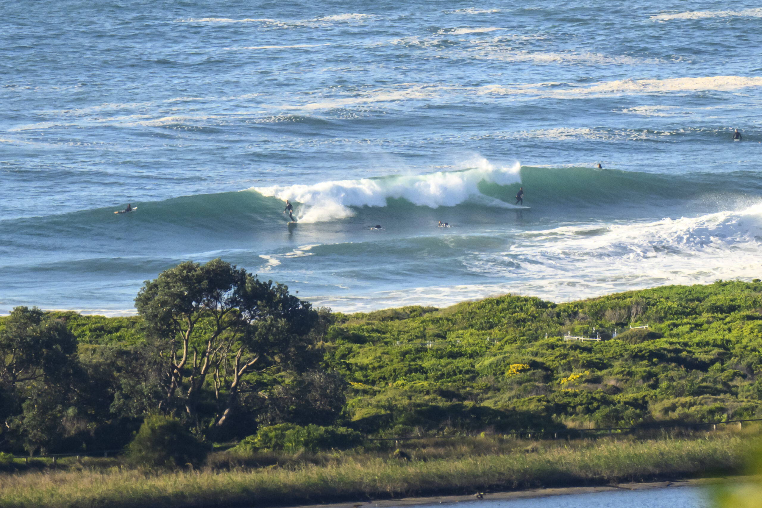
The Goat’s Surf Forecast
Surf forecast issued Thursday 30 January 2020: Seven day outlook for Sydney:
Well if you’d looked at some places today you’d have said there was nothing. And you’d have been right if you didn’t have any imagination. But if you imagined there were waves, and went out regardless, you might have caught an occasional fluke if you were lucky.
The same principle will apply for the next few days at least.
But with how weather forecast and warm water you might as well get wet…
Water temp is around 24-25 according to MHL. TG’s built in RFITW (Real Feel In The Water) sensors concur!
Friday: about 1 metre or so short period North East windswell
Saturday: maybe a little bigger, somewhere in the 1-2 metre range short period North East windswell (small at northern ends, bigger at S ends)
Sunday: let’s say ditto
Monday: Ditto North East/ East
Tuesday: coming up somewhere in the 1-2 metre range at dead South spots, but short period, so not much chance of much happening in corners protected from the S/SE wind
Wednesday: maybe a bit more say 2, 2+ metres dead South and a bit more chance of something in protected corners with sets around 13-14 seconds
Thursday: going down, say 1-1+ South East
Have a good one
TG
Up in the Air


Winds
https://www.windy.com/-33.855/151.216?-34.373,151.216,8
Down in the Sea
Water temp is around 24-25 according to MHL, and TG’s built in RFITW (Real Feel In The Water) sensors concur!

Tides
https://www.rms.nsw.gov.au/documents/maritime/usingwaterways/tides-weather/tide-tables-2019-2020.pdf
Weather from the Bureau
Forecast for the rest of Thursday
- Summary

- Mostly clear.
- Chance of any rain: 0%

Sydney area
Clear. Winds northeasterly 20 to 30 km/h becoming light in the late evening.
Sun protection recommended from 9:30 am to 4:40 pm, UV Index predicted to reach 9 [Very High]
Friday 31 January
- Summary

- Min 23
- Max 31
- Becoming windy. Becoming sunny.
- Chance of any rain: 0%

Sydney area
Hot. Cloudy start clearing to a sunny day. Light winds becoming northerly 15 to 20 km/h in the late morning then tending northeasterly 20 to 35 km/h in the early afternoon. Winds near the coast reaching 35 to 50 km/h in the late afternoon.
Fire Danger – High
Sun protection recommended from 9:10 am to 5:00 pm, UV Index predicted to reach 12 [Extreme]
7 day Town Forecasts
| Precis Icon | Location | Min | Max |
|---|---|---|---|
| Sydney | 23 | 31 | |
| Penrith | 22 | 39 | |
| Liverpool | 22 | 37 | |
| Terrey Hills | 21 | 30 | |
| Richmond | 22 | 39 | |
| Parramatta | 21 | 35 | |
| Campbelltown | 21 | 37 | |
| Bondi | 23 | 28 |
Saturday 1 February
- Summary

- Min 23
- Max 34
- Sunny.
- Chance of any rain: 5%

Sydney area
Very hot and sunny. Winds north to northeasterly 15 to 25 km/h tending west to northwesterly 15 to 20 km/h in the middle of the day then becoming northeasterly 25 to 40 km/h in the afternoon.
Sun protection recommended from 9:00 am to 5:00 pm, UV Index predicted to reach 12 [Extreme]
Sunday 2 February
- Summary

- Min 27
- Max 33
- Showers. Possible storm.
- Possible rainfall: 4 to 10 mm
- Chance of any rain: 80%

Sydney area
Hot. Sunny morning. High (80%) chance of showers developing in the afternoon and evening. The chance of a thunderstorm in the afternoon and evening. Winds north to northwesterly 15 to 20 km/h shifting cooler south to southeasterly 15 to 25 km/h during the day then becoming light during the evening.
Sun protection recommended from 9:00 am to 5:00 pm, UV Index predicted to reach 13 [Extreme]
Monday 3 February
- Summary

- Min 22
- Max 29
- Shower or two. Possible storm.
- Possible rainfall: 4 to 10 mm
- Chance of any rain: 70%

Sydney area
Cloudy. High (70%) chance of showers. The chance of a thunderstorm. Light winds becoming southeasterly 15 to 25 km/h during the afternoon.
Tuesday 4 February
- Summary

- Min 19
- Max 23
- Cloudy.
- Possible rainfall: 0 to 0.4 mm
- Chance of any rain: 30%

Sydney area
Cloudy. Slight (30%) chance of a shower, most likely during the morning. The chance of a thunderstorm. Winds southerly 15 to 25 km/h turning southeasterly 15 to 20 km/h during the morning.
Wednesday 5 February
- Summary

- Min 19
- Max 25
- Cloudy.
- Possible rainfall: 0 to 1 mm
- Chance of any rain: 30%

Sydney area
Cloudy. Medium (40%) chance of showers. The chance of a thunderstorm. Light winds becoming easterly 15 to 20 km/h during the day.
Thursday 6 February
- Summary

- Min 21
- Max 26
- Shower or two.
- Possible rainfall: 1 to 4 mm
- Chance of any rain: 60%

Sydney area
Cloudy. High (70%) chance of showers. The chance of a thunderstorm. Light winds becoming southeasterly 15 to 25 km/h during the day.

