
Hello Friends,
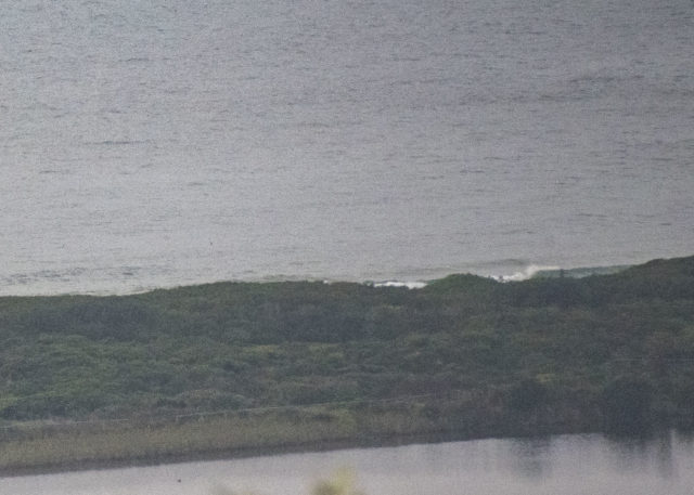
No real sign of a wave at Dee Why this morning. Cloudy skies early too. The MHL buoy 0500 report showed 0.8 of a metre at 12 seconds from the SSE and North Head was seeing 5-10kts of wind from the NE as of 0730. Next tide is a high at 1310. By then the wind should be nearing it’s full force of 15-25kts.
As for the outlook, well, may I refer you to the mighty Goat!
Weather Situation
A high pressure system over the Tasman Sea will strengthen a little as a cold front approaches from the west. This pattern will bring increasing northeasterly winds to most coastal areas today and Friday. The front is expected to bring a southerly change to the far south coast late Saturday, continuing through central parts during Sunday and stall about northern waters on Monday.
Forecast for Friday until midnight
Strong Wind Warning for Friday for Sydney Coast
Winds
North to northeasterly 15 to 25 knots, reaching up to 30 knots in the evening.
Seas
1 to 1.5 metres, increasing to 1.5 to 2.5 metres during the morning.
Swell
Southerly below 1 metre.
Weather
Mostly sunny.
Saturday 1 February
Strong Wind Warning for Saturday for Sydney Coast
Winds
Northerly 20 to 30 knots turning northeasterly in the late morning and afternoon.
Seas
2 to 3 metres.
Swell
Southerly around 1 metre.
Weather
Sunny.
Sunday 2 February
Winds
Northerly 20 to 30 knots shifting southerly 15 to 20 knots during the morning or early afternoon.
Seas
1.5 to 2.5 metres, decreasing to 1 to 2 metres during the afternoon.
1st Swell
Northeasterly around 1 metre, increasing to 1.5 to 2 metres during the morning.
2nd Swell
Southerly around 1 metre.
Weather
Mostly sunny. 50% chance of showers. The chance of a thunderstorm in the afternoon and evening.
