Hello Friends,
First light in Sydney saw weak SW wind fanning a knee to waist high SSE swell. It was 1.6 metres at sea with a 9-second period, so south exposures should be on the upper end of the scale surfwise (maybe chest high bombs?) Tide’s high right on 0800, but it’s not a big one, so it shouldn’t be particularly fat. Beachwatch was calling yesterday water quality good at most places and reported the temp is on 24C.
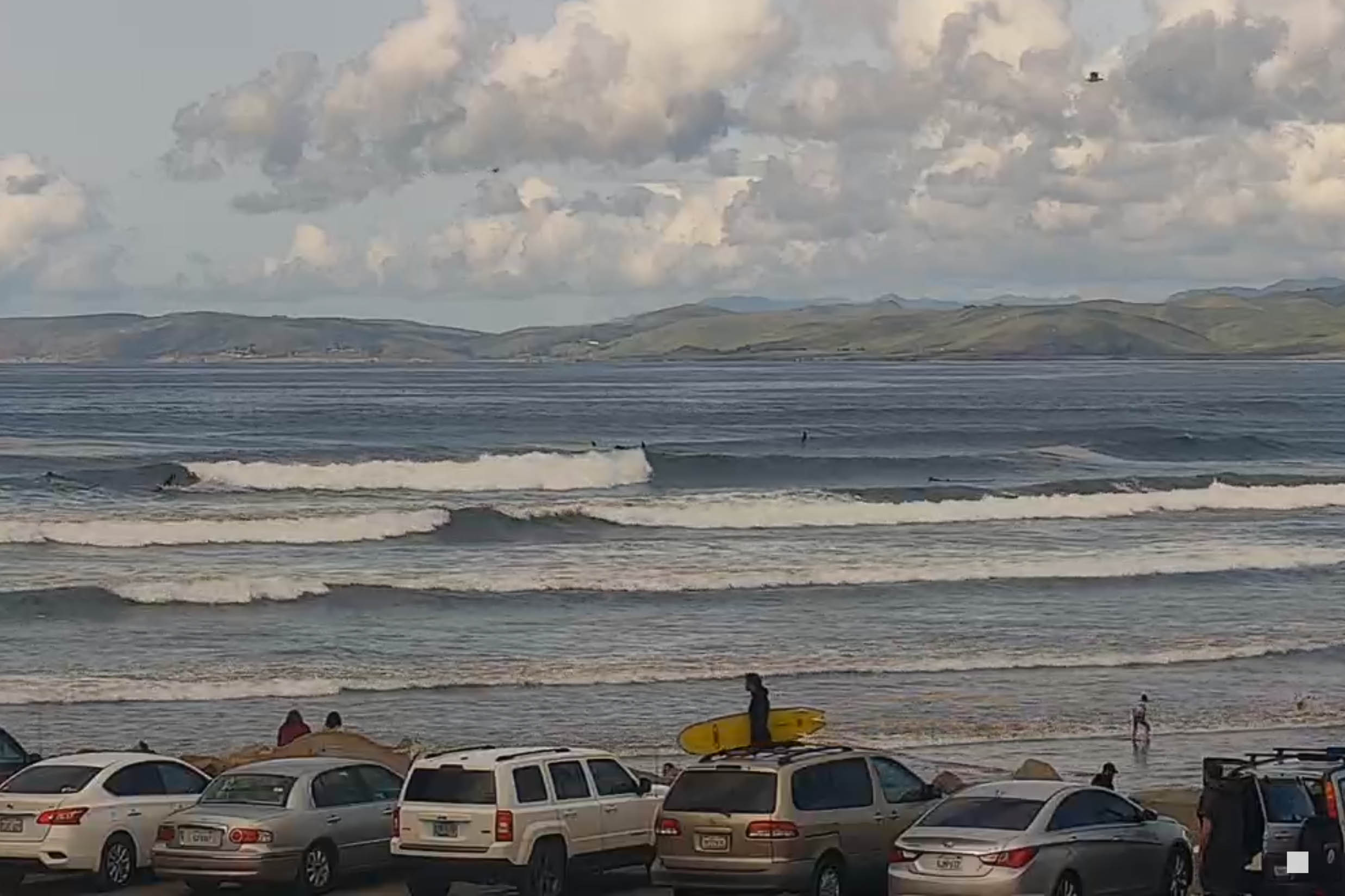
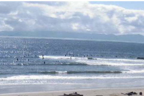
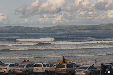
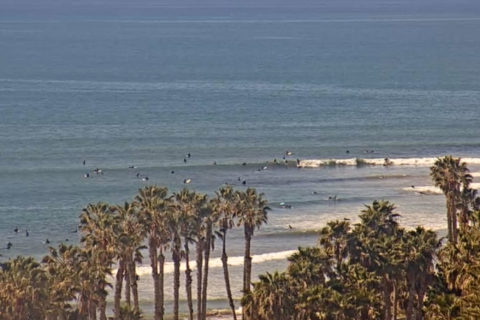
Swell has bumped ever so slightly up in Santa Barbara to maybe knee high at better exposures. It’s closer to waist to chest up north on the Central Coast. Here are your postcards:
Weather Situation
A slow-moving high pressure system over the Southern Ocean is extending a ridge along the coast, bringing a south to southeasterly airstream. Winds will gradually become east to northeasterly over the southern and central parts of the coast during the mid week as the high moves over the Tasman Sea.
Forecast for Monday until midnight
Winds
Southerly 10 to 20 knots.
Seas
1 to 1.5 metres.
1st Swell
Southerly 1.5 to 2 metres.
2nd Swell
Easterly around 1 metre.
Weather
Partly cloudy. 60% chance of showers.
Tuesday 10 March
Winds
South to southeasterly about 10 knots.
Seas
Around 1 metre.
Swell
Southerly 2 metres, tending southeasterly 1.5 to 2 metres during the afternoon.
Weather
Partly cloudy.
Wednesday 11 March
Winds
East to southeasterly 10 to 15 knots tending east to northeasterly below 10 knots during the evening.
Seas
Below 1 metre.
Swell
Southeasterly 1 to 1.5 metres, decreasing to around 1 metre during the evening.
Weather
Partly cloudy.

