Hello Friends,
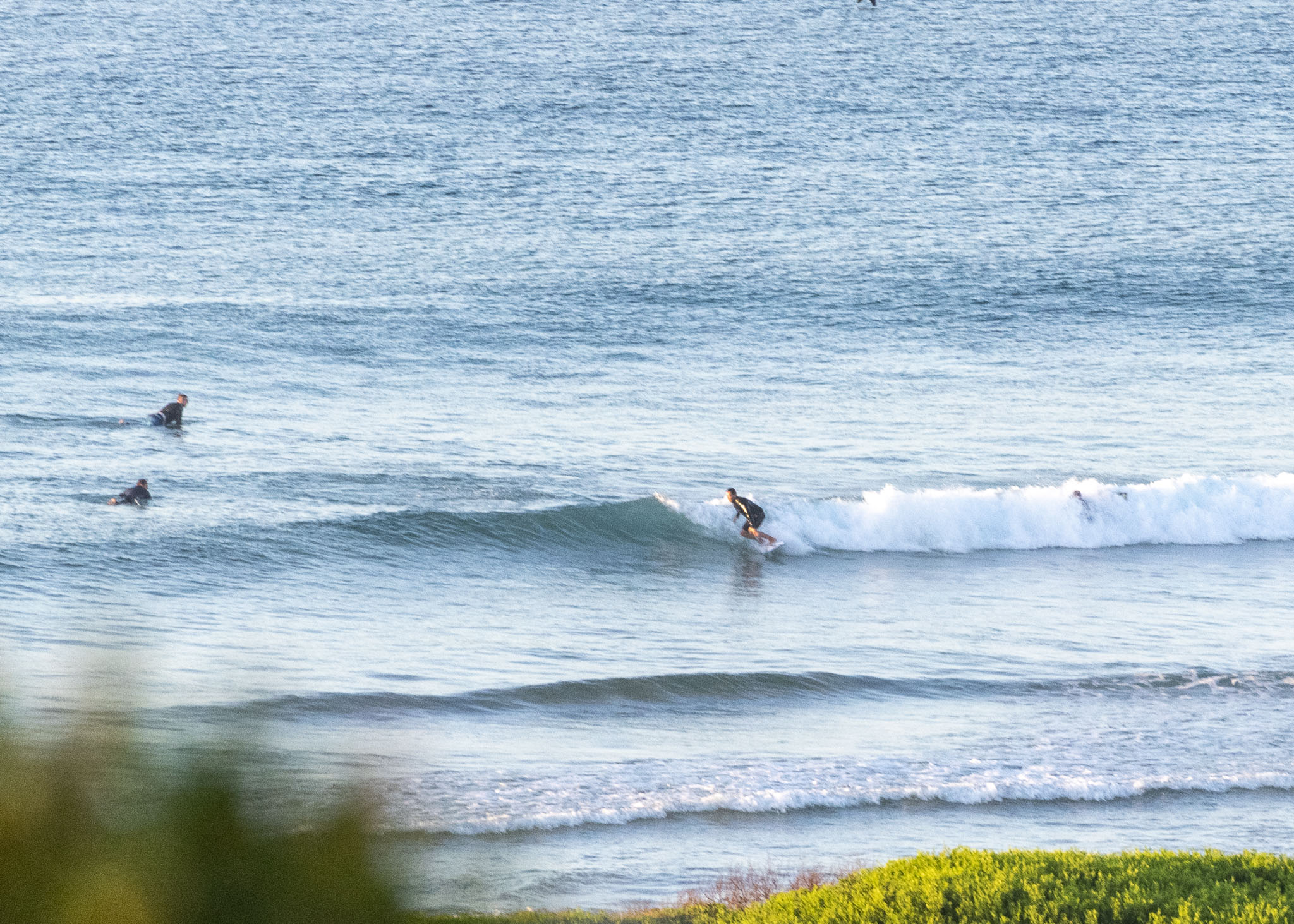
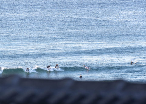
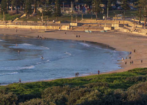
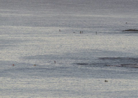
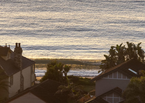
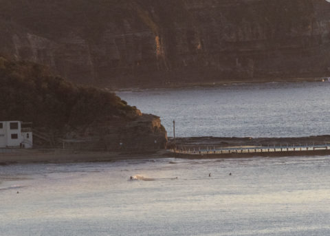
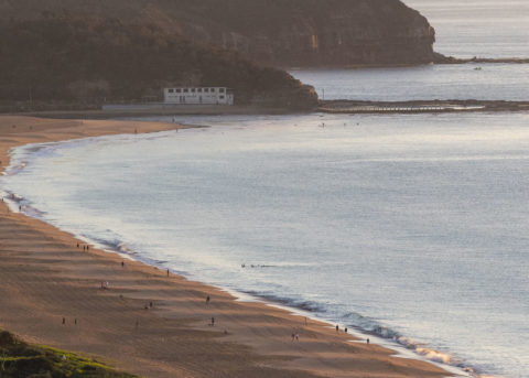
Many folks out walking this Anzac morning, but only the tiniest of waves along the beaches. Out at sea it’s 0.6 m at 13 seconds from 173³ and along the beaches the waves are in the ankle to calf high range with the odd waist high bomb set.
We should see a sunny day with light wind and a high of 26C. Water’s still around 22C. Not that it matters much, but first tide of the day is the high at 0940.
Outlook is for the tininess to persist through next week. Some of the long range forecasts are showing the prospect of an improvement in 10 days or so. Definitely in the “maybe..” category I’d say.
Go well with your day!
By Order of the Federal Government, our beaches are open for exercise only – surfing, swimming, running and walking. Beaches will be closed due to unsafe conditions and or mass gatherings. All pools are closed at this time.
Please see some commonly asked questions about the beach closures.
If people are sunbaking or gathering on the beach, they will be asked to move along by our lifeguards, rangers or the police.
Due to the risk of Coronavirus and acting on direction of NSW and Federal Governments, Council has closed many public areas. View the latest updates on the evolving situation with Coronavirus (COVID-19).
In addition, it is against the law to gather with more than two people in public, except:
- for members of the same household
- where the gathering is essential for work or education
- If you go out, stay 1.5 metres away from other people at all times.
The rules are also now enforceable and Police are issuing fines of $1000 for individuals and $5000 for companies. These are difficult circumstances and we appreciate your patience and understanding.
Weather Situation
A high pressure ridge will remain the dominant feature until Sunday, when the next cold front and associated trough sweep across from the west. Behind this, a new high is forecast to drift across during the first part of next week.
Forecast for Saturday until midnight
Winds
Variable about 10 knots becoming northerly 10 to 15 knots in the middle of the day, reaching up to 20 knots offshore in the evening.
Seas
Around 1 metre, increasing to 1.5 metres later in the evening.
Swell
Southerly below 1 metre.
Weather
Sunny.
Sunday 26 April
Winds
North to northwesterly 15 to 20 knots turning west to southwesterly in the evening.
Seas
1 to 1.5 metres.
Swell
Southerly below 1 metre.
Weather
Becoming cloudy.
Monday 27 April
Winds
South to southwesterly 10 to 15 knots shifting easterly during the day.
Seas
Around 1 metre.
Swell
Southerly 1 to 1.5 metres.
Weather
Partly cloudy. 50% chance of showers. The chance of a thunderstorm.

