
Hello Friends,
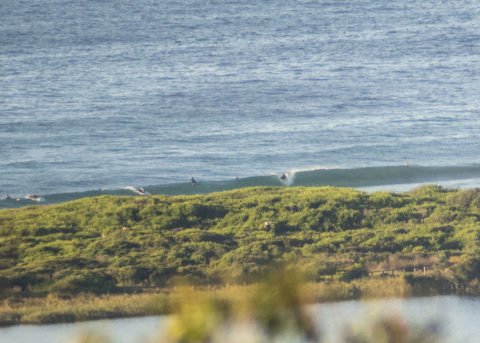
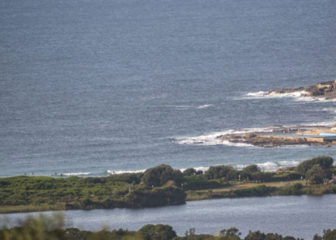
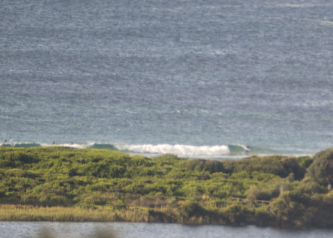
Not much happening surfwise this morning at Dee Why. Wind was coming from the north when I climbed aloft to grab the snaps. The wind should pick up this morning and go more NW this afternoon. Swell was less than a metre from the east-ish at 12-13 seconds as of 0900. The Bureau expects the swell energy to come up a bit later, but I’m not expecting anything much in the way of an improvement. On the other hand, the prospects for the weekend seem to be improving according to the models. If things play out well, we could see solid surf for the weekend and beyond. So, here’s hoping!
Go well, maintain distance and keep washing those hands everybody.
By Order of the Federal Government, our beaches are open for exercise only – surfing, swimming, running and walking. Beaches will be closed due to unsafe conditions and or mass gatherings. All pools are closed at this time.
Please see some commonly asked questions about the beach closures.
If people are sunbaking or gathering on the beach, they will be asked to move along by our lifeguards, rangers or the police.
Due to the risk of Coronavirus and acting on direction of NSW and Federal Governments, Council has closed many public areas. View the latest updates on the evolving situation with Coronavirus (COVID-19).
In addition, it is against the law to gather with more than two people in public, except:
- for members of the same household
- where the gathering is essential for work or education
- If you go out, stay 1.5 metres away from other people at all times.
The rules are also now enforceable and Police are issuing fines of $1000 for individuals and $5000 for companies. These are difficult circumstances and we appreciate your patience and understanding.
Weather Situation
A high pressure system over the Tasman Sea extends a ridge over New South Wales, resulting in generally northerly winds over the waters. A cold front has entered the western inland and is expected to cross the state today, bringing a brief southwesterly change to the southern coast later. This will be followed closely by another stronger cold front on Thursday, which is forecast to develop a low pressure system over the Tasman Sea, resulting in vigorous south to southwesterly winds and large waves towards the end of the week.
Forecast for Wednesday until midnight
Winds
Northerly 15 to 20 knots, reaching up to 25 knots offshore during the morning. Winds turning northwesterly during the afternoon and evening.
Seas
1 to 1.5 metres, increasing to 1.5 to 2 metres by early evening.
Swell
Easterly around 1 metre, increasing to 1 to 1.5 metres later in the evening.
Weather
Mostly sunny day. The chance of a thunderstorm offshore late this afternoon and evening.
Thursday 21 May
Strong Wind Warning for Thursday for Sydney Coast
Winds
Northwesterly 10 to 15 knots turning southwesterly 15 to 20 knots in the afternoon then tending westerly 15 to 25 knots in the evening. Winds reaching up to 30 knots in the late evening.
Seas
1 to 1.5 metres, decreasing to 1 metre during the morning, then increasing to 1.5 to 2 metres later in the evening.
Swell
Easterly around 1 metre.
Weather
Cloudy. 95% chance of showers. The chance of a thunderstorm in the morning.
Friday 22 May
Winds
South to southwesterly 25 to 30 knots.
Seas
2.5 to 3 metres.
Swell
Southerly 1 to 2 metres, increasing to 3 to 5 metres during the morning.
Weather
Cloudy. 90% chance of showers. The chance of a thunderstorm.

