Hello Friends,
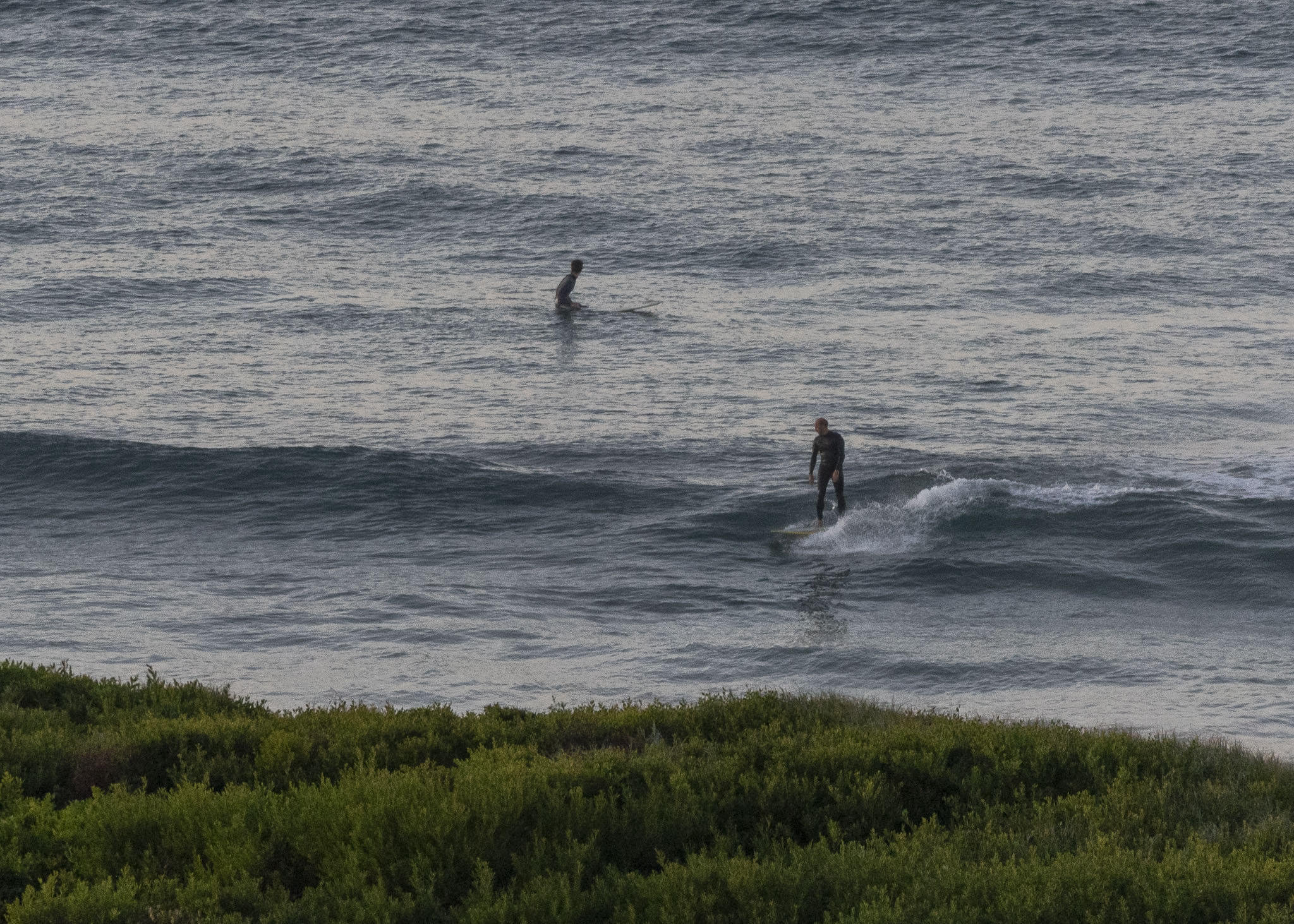
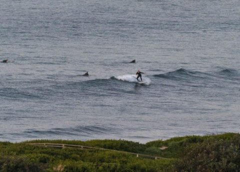
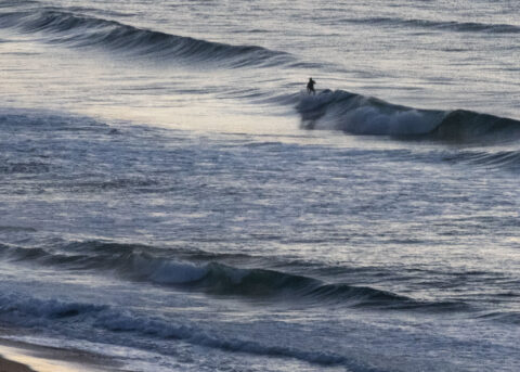
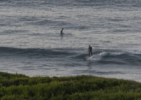
At daybreak the buoy data showed 0.9 metres of 9-second swell from the ESE. There was a faint 2-3 kt north breeze and skies were mostly clear. Tide was just about at the 0730 high and the ocean was 19C. Waves were in the ankle to knee high range at spots that were doing anything with the low energy bump. Take your longest, floatiest surf toy and your most kick-backed attitude and you’ll be good.
Outlook is for conditions to be about the same as they are now through to about midweek when we might have a change to some blowy but a bit bigger south conditions…
Go well!


Weather Situation
A weakening high pressure system over the western Tasman Sea extends a ridge along the New South Wales north coast, directing a generally northerly airstream over the coastal waters. This ridge will weaken further over the weekend as a cold front crosses the mainland. The front will bring a west to southwesterly change to coastal areas on Sunday, tending more southerly early in the new week as a low pressure system develops offshore.
Forecast for Saturday until midnight
Winds
Northerly 15 to 20 knots.
Seas
Around 1 metre.
Swell
Southeasterly around 1 metre.
Weather
Mostly sunny.
Sunday 21 June
Winds
North to northwesterly 15 to 20 knots turning westerly in the evening.
Seas
1 to 1.5 metres.
Swell
Southeasterly around 1 metre.
Weather
Cloudy. 90% chance of showers. The chance of a thunderstorm. Possible hail in the late afternoon and evening.
Monday 22 June
Winds
Westerly 15 to 20 knots.
Seas
1 to 1.5 metres.
Swell
Southeasterly around 1 metre.
Weather
Partly cloudy. 70% chance of showers.

