Hello Friends,
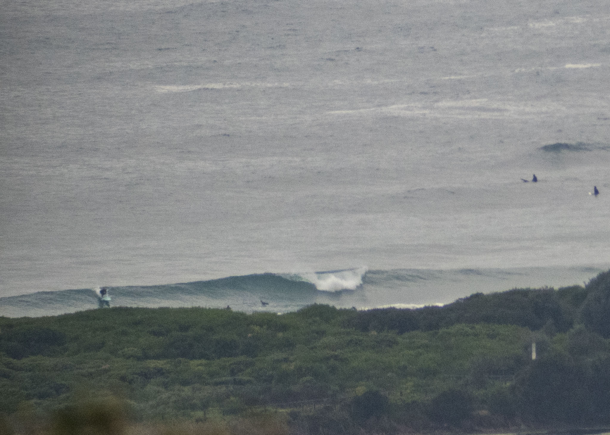
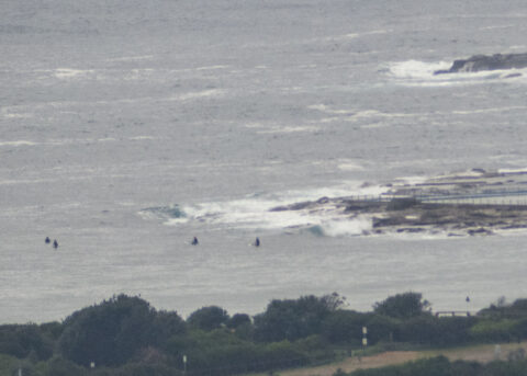
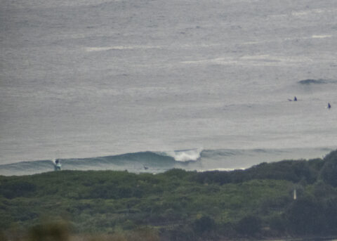
Winter solstice saw a cloudy and chilly start to the year’s shortest day in Sydney. Wind was out of the WNW at 6-12 kts and out at sea the ESE swell at 1.4m was a bit bigger than yesterday and the average period has stretched out to 12 seconds. I’d expect to see a little more action at Dee Why but when I took the pictures at around 0800, the only rideable thing I saw was a glassy little waist high bump at Kiddies. There were folks floating around at the point, but nothing came through while I watched. From where they’re sitting, I’d guess there might be the occasional waist plus set. Another issue is likely the fact that high tide was at 0815.
The wind should be out of the N-NW today, so maybe as the tide drops, a few of those sets will start looking more interesting.
The coming week is looking reasonable for surfing. The next few days look likely to bumble along in the waist high and a bit range on favourable tides. From around midweek the picture is currently looking, how should we say, more energetic. It all depends on what happens when the next low pressure system crosses into the southern Tasman. Will it just hurtle across to NZ, or slow down and bomb…
Take care everyone and don’t slack off on your handwashing and distance keeping.
Weather Situation
Northerly winds are increasing ahead of a cold front which will bring a west to southwesterly change to coastal waters today. This front is expected to form a low offshore over the Tasman Sea early in the new week, leading to south to southwesterly winds along the New South Wales coast for much of the remainder of the week.
Forecast for Sunday until midnight
Winds
North to northwesterly 15 to 20 knots, increasing up to 25 knots offshore in the evening ahead of a late westerly change.
Seas
1 to 1.5 metres, increasing to 1 to 2 metres in the afternoon.
Swell
East to southeasterly 1 to 1.5 metres.
Weather
Cloudy. 95% chance of rain. The chance of a thunderstorm, with possible hail this afternoon and evening.
Monday 22 June
Winds
Westerly 15 to 25 knots.
Seas
1 to 2 metres.
Swell
Easterly around 1 metre.
Weather
Partly cloudy. 90% chance of showers offshore, 50% chance elsewhere. The chance of a thunderstorm.
Tuesday 23 June
Winds
West to southwesterly 15 to 25 knots.
Seas
1.5 to 2 metres.
Swell
Easterly around 1 metre.
Weather
Partly cloudy. 50% chance of showers.

