Hello Friends,
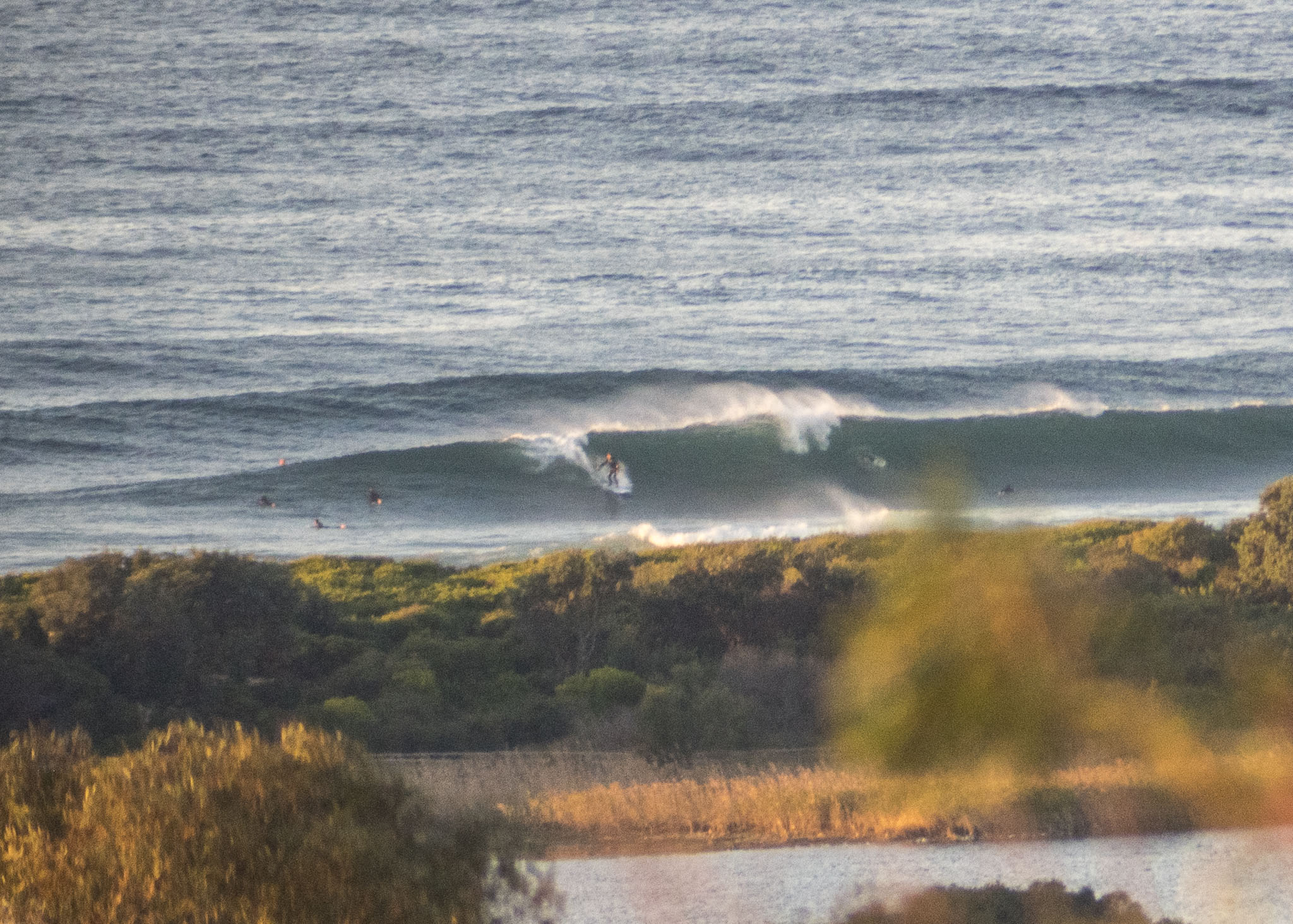
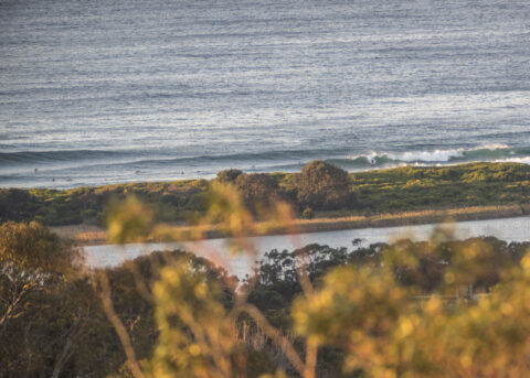
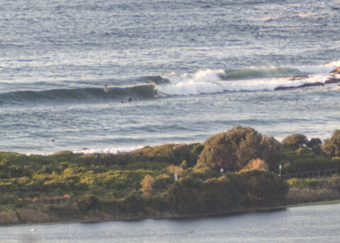
Heaps of swell piling into Dee Why for the healthy dawn patrol crew at Dee Why. Sets look to be solidly overhead and it didn’t look as though you had to wait long for an opportunity. It’s quite peaky thanks to the combo of south and SE swells. As of 0740 it was 2-2.5 metres at 10-11 seconds out at sea. Wind for the early session was 10-13 kts from the west, but it should start to swing SW soon and then be southerly around midday. So get into that 19C water asap. Oh, and the low tide was at 0620 and is currently coming in to a moderate 1.4 mm high at 1220. Weather is set to be sunny all day as it goes to a high of 18.
Go well!

Weather Situation
A complex low pressure system lies over the Tasman Sea, while a high pressure system is moving into western New South Wales. This high is expected to remain near-stationary during the next few days, maintaining generally southerly winds over coastal waters.
Forecast for Friday until midnight
Winds
Southwesterly 10 to 15 knots turning southerly 15 to 20 knots in the middle of the day.
Seas
1 to 1.5 metres.
1st Swell
Southerly around 1 metre, increasing to 1.5 to 2 metres during the afternoon.
2nd Swell
Southeasterly 2 metres, decreasing to 1.5 metres by early evening.
Weather
Partly cloudy. 50% chance of showers.
Saturday 27 June
Winds
Southerly 10 to 15 knots.
Seas
1 to 1.5 metres, decreasing below 1 metre during the morning.
1st Swell
Southerly 1.5 to 2 metres, decreasing to 1 to 1.5 metres around midday.
2nd Swell
Southeasterly 1 to 1.5 metres.
Weather
Partly cloudy.
Sunday 28 June
Winds
South to southwesterly 10 to 15 knots.
Seas
Below 1 metre.
1st Swell
Southerly 1 to 1.5 metres, decreasing to around 1 metre in the evening.
2nd Swell
Southeasterly around 1 metre.
Weather
Partly cloudy. 60% chance of showers.

