Hello Friends,
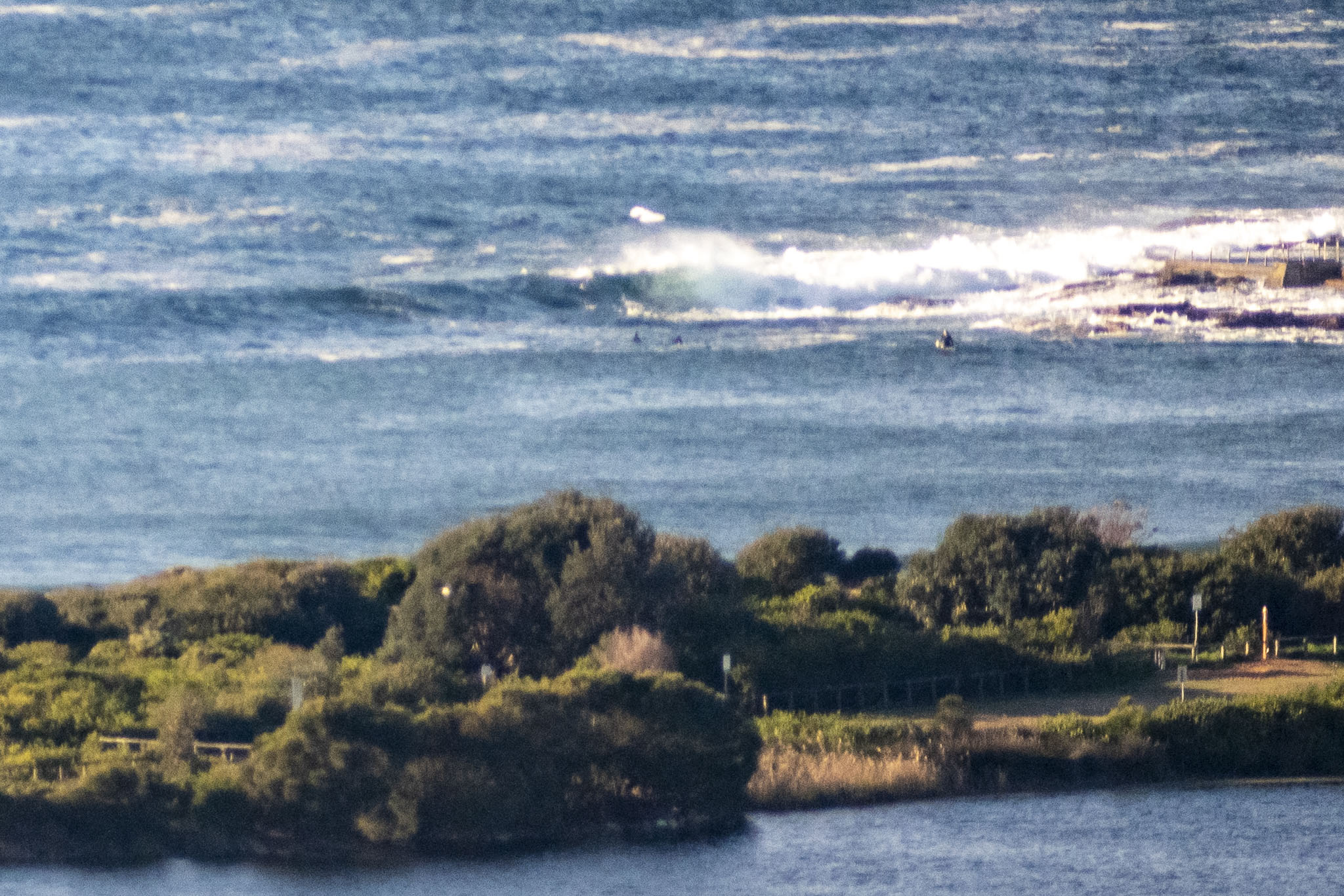
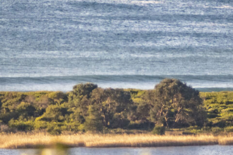
A beautiful morning as Wednesday gets started in Sydney. Wind was 6-7 kts from the NW as of 0800, but the Bureau tells us it’s going to ramp up into the 20-30 kts and there’s a 50% chance of precipitation. Swell at sea was 1.2 metres at 11 seconds from the east. That was enough to entice a small crowd to try their luck at the point, but it looks very small and the high tide at 0820 wasn’t helping either. If you’re really keen, take your floatiest surf toy as you’ll need something to handle the ankle to knee high bumps.
Outlook is energy levels to remain marginal to flat through the weekend, but if the models have it right, we could have fun size waves from Sunday midday on into the new week. For now though, beach walks are go.
Pack the mask and have a top old Wednesday!

Weather Situation
A weak high pressure system extends across the Coral Sea, while a complex low pressure system lies south of the continent. This low is forecast to bring a series of vigorous cold fronts across southeast Australia during the second half of the week, with windy conditions in most coastal areas.
Forecast for Wednesday until midnight
Gale Warning for Wednesday for Sydney Coast
- Winds
- West to northwesterly 15 to 25 knots increasing to 20 to 30 knots in the afternoon. Winds reaching 35 knots offshore in the late evening.
- Seas
- 1 to 2 metres, increasing to 2 to 4 metres offshore in the afternoon.
- Swell
- Easterly 1 to 1.5 metres.
- Weather
- Partly cloudy. 50% chance of showers and the chance of a thunderstorm from late this morning.
Thursday 20 August
Gale Warning for Thursday for Sydney Coast
- Winds
- Westerly 20 to 30 knots, reaching 35 knots offshore early in the morning.
- Seas
- 1 to 2 metres, increasing to 2 to 4 metres offshore.
- Swell
- Southerly around 1 metre.
- Weather
- Mostly sunny. The chance of a thunderstorm offshore.
Friday 21 August
- Winds
- Westerly 15 to 25 knots.
- Seas
- 1.5 to 2.5 metres.
- Swell
- Southerly 1 to 1.5 metres.
- Weather
- Partly cloudy.


