
Hello Friends,
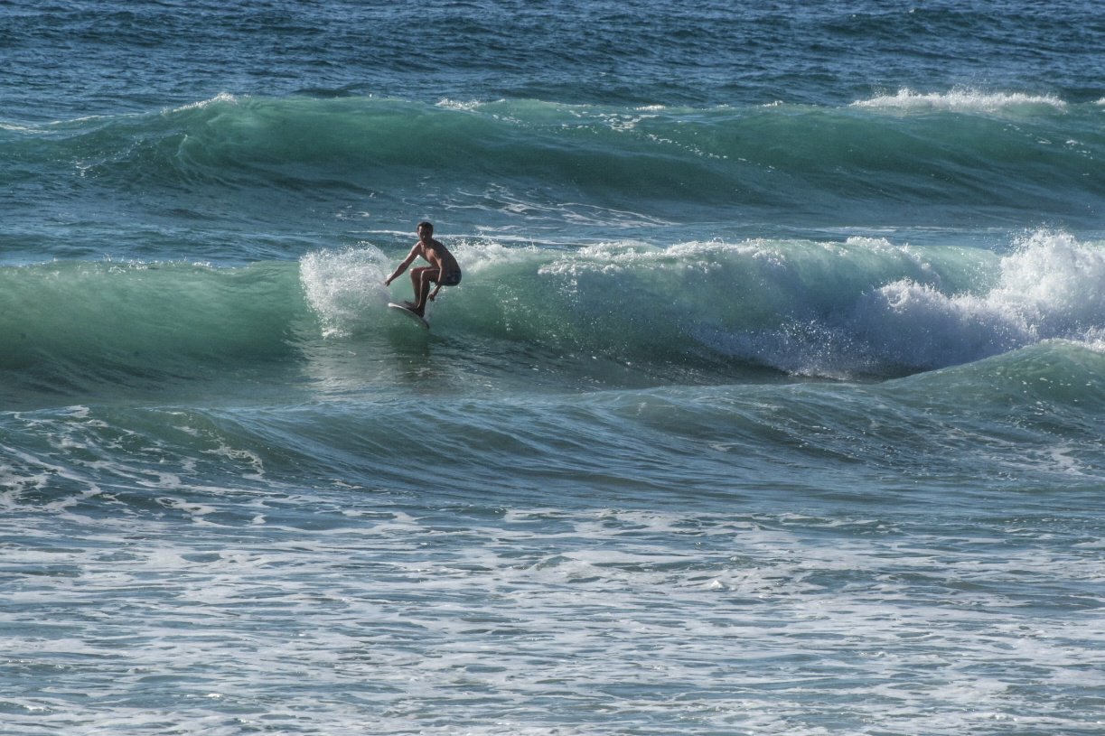
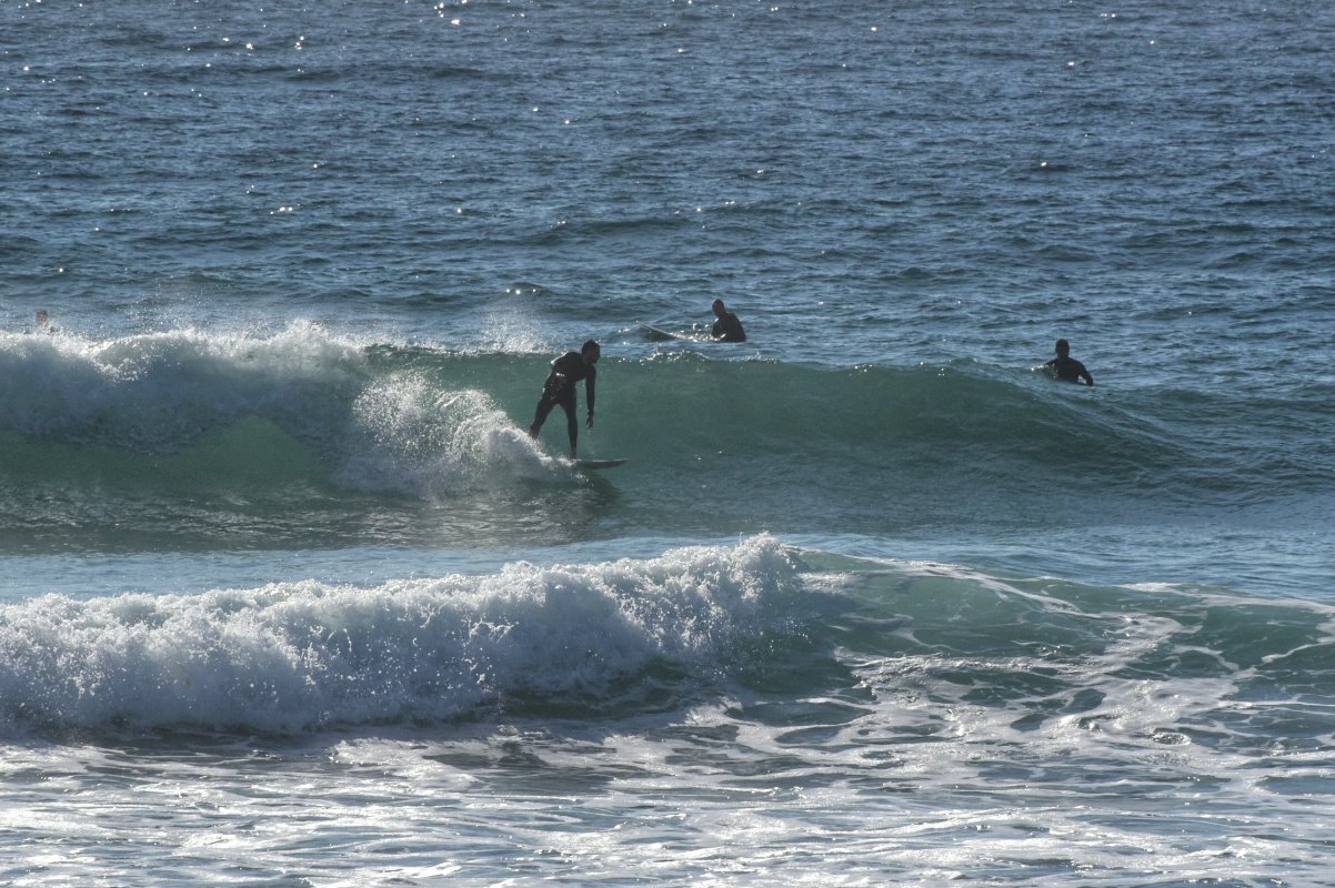
Going to a high of 30 today. It’s sunny this morning, but there’s a 60% chance of showers later. There is some bump about thanks to 1.3 metres of 8-9 second NE wind swell. Best exposures should be seeing waist high sets with the odd chest plus bomb. Tides heading into a fairly swampy 1.75m high at 1105. Wind before 0730 was out of the north at around 10kts. That should build soon because the forecast says it’ll be 15-20 kts later. Water’s still on 18C.
Weather Situation
A high pressure system lies over the Tasman Sea while a cold front is crossing the southern and western parts of the state today, bringing a brief southwesterly change to southern parts of the coast late this evening and continue to northern parts on Tuesday. Following this, winds will tend west to southwesterly.
Forecast for Monday until midnight
- Winds
- Northerly 15 to 20 knots.
- Seas
- 1 to 2 metres.
- Swell
- Northeasterly 1 to 1.5 metres.
- Weather
- Sunny day. 50% chance of showers this evening. The chance of a thunderstorm this evening.
Tuesday 22 September
- Winds
- North to northwesterly 15 to 25 knots turning west to southwesterly during the morning. Winds may briefly tend northeasterly during the late afternoon.
- Seas
- 1 to 2 metres, decreasing to 1 to 1.5 metres around midday.
- Swell
- Northeasterly 1 to 2 metres.
- Weather
- The chance of a thunderstorm in the morning. Sunny afternoon.
Wednesday 23 September
- Winds
- Westerly 15 to 20 knots. Winds may briefly tend north to northeasterly 10 to 15 knots during the afternoon.
- Seas
- Below 1 metre, increasing to 1 to 1.5 metres offshore.
- Swell
- Northeasterly 1 to 1.5 metres, decreasing to around 1 metre during the morning.
- Weather
- Mostly sunny.
