Hello Friends,
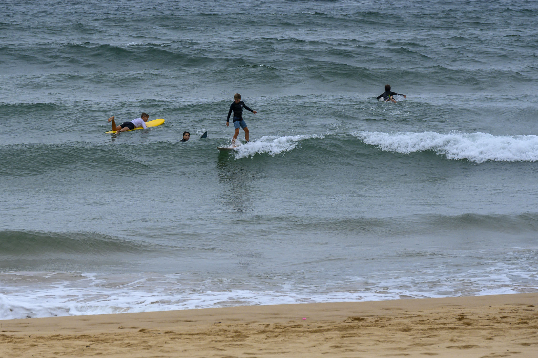
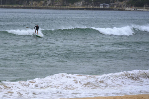
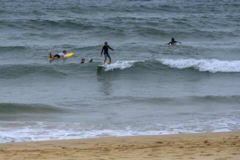
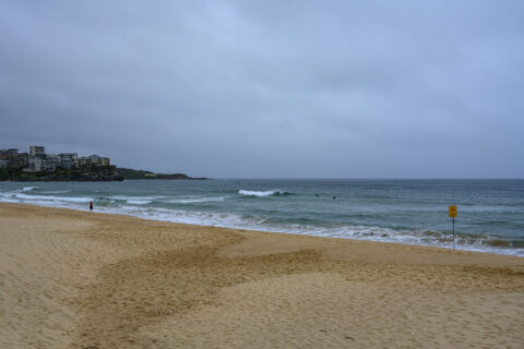
20-25 kts of SSW wind to kick off a cloudy Wednesday morning. Swell at sea is 2 metres from 190° (so it’s headed away from us) at only 5 seconds apart, hence the flatness.
So, no surf today, and probably nothing to speak of before Saturday at the earliest. Water’s 24C though!
Weather Situation
A slow-moving high pressure system over the Tasman Sea extends a ridge to the northern New South Wales coast. A trough moving up the South Coast is expected to stall over the Mid North Coast tomorrow, before weakening on Thursday. In its wake another slow-moving high pressure system will become established in the southern Tasman Sea.
Forecast for Wednesday until midnight
Strong Wind Warning for Wednesday for Sydney Coast
Winds
Southerly 20 to 30 knots turning southeasterly 25 to 30 knots in the evening.
Seas
2 to 3 metres.
1st Swell
Northeasterly 1.5 to 2.5 metres, decreasing to 1 to 1.5 metres around midday.
2nd Swell
Southerly around 1 metre.
Weather
Cloudy. 60% chance of showers.
Thursday 28 January
Strong Wind Warning for Thursday for Sydney Coast
Winds
Southeasterly 20 to 30 knots tending easterly in the late evening.
Seas
2 to 3 metres.
1st Swell
Southerly 1 to 2 metres, decreasing to around 1 metre by early evening.
2nd Swell
Northeasterly 1 to 1.5 metres, tending easterly 1.5 metres during the morning, then tending southeasterly 1.5 to 2 metres during the afternoon.
Weather
Cloudy. 80% chance of showers.
Friday 29 January
Winds
Easterly 20 to 30 knots turning northeasterly 20 to 25 knots during the afternoon.
Seas
1.5 to 2.5 metres.
1st Swell
Easterly 1.5 metres, increasing to 2 metres during the morning.
2nd Swell
Southerly around 1 metre.
Weather
Cloudy. 70% chance of showers.

