The Goat’s Surf Forecast
Surf forecast issued Thursday 4 February 2021: Seven day outlook for Sydney:
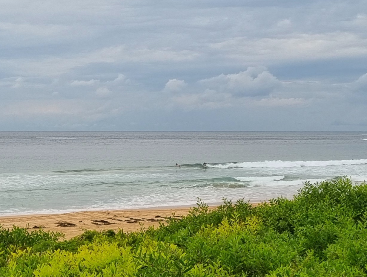
From what I saw of the surf today, there were clearly some people who, when looking at the surf must have said to themselves, Yum Yum.
I don’t know for sure, but I imagine they would be the same people who might look at an ice cream cone dropped in the dirt, covered with pebbles and twigs, and say to themselves, Yum Yum.
Fair enough… It’s a democracy. Everyone’s entitled to their own view… But I would suggest that the opinions of two people wouldn’t be the same as what most people would say to themselves.
What I saw, admittedly later in the day, was absolute rubbish… onshore wind pushing shoreward a constant succession of close outs from way out to sea.
So that was today. What’s on the horizon? Will it be more dirty ice cream cones, or something more tasty??
A bit of both. 🙂
Friday: easing back a bi from Thursday, say somewhere in the 1-2 metre range from East with light wind at first, then up a bit, say maybe around 2 metres at southern ends with the Noreaster pushing it along.. Sheltered corners are the places everyone will be. But If you want it to yourself, get out in the wind and eat your dirty ice creams
Saturday: leftover similars from yesterday, increasing at southern ends of beaches, along with the Noreaster
Sunday: easing a bit in the 1-2 metre range North East, then turning more East as a southerly comes through to chop conditions up completely (dirtier ice creams)
Monday: coming up 1-2 metres, 2 + metres Eastish
Tuesday: might look like it’s down, but will be just a change in direction to dead South, with most going past, somewhere in the 1-2 metre range at places open to the South
Wednesday: ditto
Thursday: dittoish South East
Enjoy your ice creams, when you can.
TG 🙂
You don’t like ice cream?? That’s unfortunate for you.
Up in the Air

Ohh that looks like there’s a bit more moisture up/down there>>>

http://www.bom.gov.au/australia/charts/4day_col.shtml
Winds
https://www.windy.com/-33.850/151.220?-34.282,150.925,8
Down in the Sea
Water temp is around 23.

Tides
https://www.rms.nsw.gov.au/documents/maritime/usingwaterways/tides-weather/tide-tables-2020-2021.pdf
Weather from the Bureau
Sydney Forecast
Forecast issued at 4:20 pm EDT on Thursday 4 February 2021.
Forecast for the rest of Thursday
- Summary

- Mostly clear.
- Chance of any rain: 5%

Sydney area
Mostly clear. Slight (20%) chance of a shower in the outer west, near zero chance elsewhere. The chance of a thunderstorm in the outer west early this evening. Winds northeasterly 20 to 30 km/h.
Sun protection recommended from 9:10 am to 5:10 pm, UV Index predicted to reach 11 [Extreme]
Friday 5 February
- Summary

- Min 21
- Max 29
- Mostly sunny.
- Chance of any rain: 10%

Sydney area
Mostly sunny. Slight (20%) chance of a shower. The chance of a thunderstorm in the afternoon. Winds northeasterly 15 to 20 km/h becoming light before dawn then becoming northeasterly 20 to 30 km/h in the morning.
Fire Danger – Low-Moderate
Sun protection recommended from 9:00 am to 5:10 pm, UV Index predicted to reach 12 [Extreme]
7 day Town Forecasts
| Precis Icon | Location | Min | Max |
|---|---|---|---|
| Sydney | 21 | 29 | |
| Penrith | 19 | 33 | |
| Liverpool | 19 | 31 | |
| Terrey Hills | 19 | 27 | |
| Richmond | 18 | 32 | |
| Parramatta | 19 | 30 | |
| Campbelltown | 18 | 31 | |
| Bondi | 22 | 25 |
Saturday 6 February
- Summary

- Min 21
- Max 27
- Shower or two. Possible storm.
- Possible rainfall: 2 to 8 mm
- Chance of any rain: 70%

Sydney area
Cloudy. High (80%) chance of showers, most likely in the afternoon and evening. The chance of a thunderstorm in the afternoon and evening. Winds northeasterly 15 to 25 km/h turning northerly 15 to 20 km/h in the late morning and afternoon.
Sun protection recommended from 9:10 am to 5:10 pm, UV Index predicted to reach 11 [Extreme]
Sunday 7 February
- Summary

- Min 20
- Max 29
- Mostly sunny.
- Possible rainfall: 0 to 0.4 mm
- Chance of any rain: 30%

Sydney area
Partly cloudy. Slight (30%) chance of a shower, most likely in the morning. Light winds becoming southerly 15 to 20 km/h during the day then tending southeasterly 15 to 25 km/h during the afternoon.
Sun protection recommended from 9:10 am to 5:00 pm, UV Index predicted to reach 11 [Extreme]
Monday 8 February
- Summary

- Min 19
- Max 24
- Shower or two.
- Possible rainfall: 0 to 1 mm
- Chance of any rain: 50%

Sydney area
Cloudy. Medium (50%) chance of showers. Winds southerly 20 to 30 km/h.
Tuesday 9 February
- Summary

- Min 18
- Max 24
- Possible shower.
- Possible rainfall: 0 to 1 mm
- Chance of any rain: 40%

Sydney area
Cloudy. Medium (40%) chance of showers. Winds south to southeasterly 15 to 25 km/h.
Wednesday 10 February
- Summary

- Min 17
- Max 23
- Cloudy.
- Possible rainfall: 0 to 0.4 mm
- Chance of any rain: 30%

Sydney area
Cloudy. Slight (30%) chance of a shower. Winds south to southwesterly 15 to 20 km/h turning southeasterly during the day.
Thursday 11 February
- Summary

- Min 16
- Max 26
- Mostly sunny.
- Chance of any rain: 20%

Sydney area
Mostly sunny. Light winds becoming northeasterly 15 to 25 km/h during the day

