
Hello Friends,
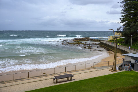
What a week. Another windy, showery and extremely junky day along the beaches of Sydney. Wind was 17-24 kts from the ESE at 0730, it’s been blowing like that all night and it looks from the forecast as though it’s not backing off any time soon. Throw in the ‘heavy at times’ rain, and it’s shaping to be pretty ordinary for awhile yet. I’m hoping the Goat will see some hope in the week ahead when he drops his weekly forecast later today.


Weather Situation
A high pressure system over the southern Tasman Sea is extending a ridge along the east coast. The high will remain slow moving over the southern Tasman Sea through to the weekend or early next week. A trough is expected to develop near the coast today, and then deepen while extending south during the weekend.
Forecast for Thursday until midnight
Winds
Easterly 15 to 20 knots, reaching up to 25 knots offshore during the day.
Seas
2 metres.
1st Swell
Easterly 1.5 to 2.5 metres.
2nd Swell
Southerly around 1 metre.
Weather
Cloudy. 95% chance of showers. The chance of a thunderstorm during this afternoon and evening.
Friday 19 March
Strong Wind Warning for Friday for Sydney Coast
Winds
Easterly 20 to 25 knots turning southeasterly 25 to 30 knots in the early afternoon.
Seas
2 metres, increasing to 2 to 3 metres around midday.
Swell
Easterly 2 to 3 metres.
Weather
Cloudy. 95% chance of showers. Rain heavy at times at night. The chance of a thunderstorm.
Saturday 20 March
Winds
Southeasterly 25 to 30 knots turning easterly during the morning.
Seas
2.5 to 3 metres.
Swell
Easterly 3 to 4 metres.
Weather
Cloudy. 90% chance of rain. Rain and showers heavy at times. The chance of a thunderstorm.


