Hello Friends,
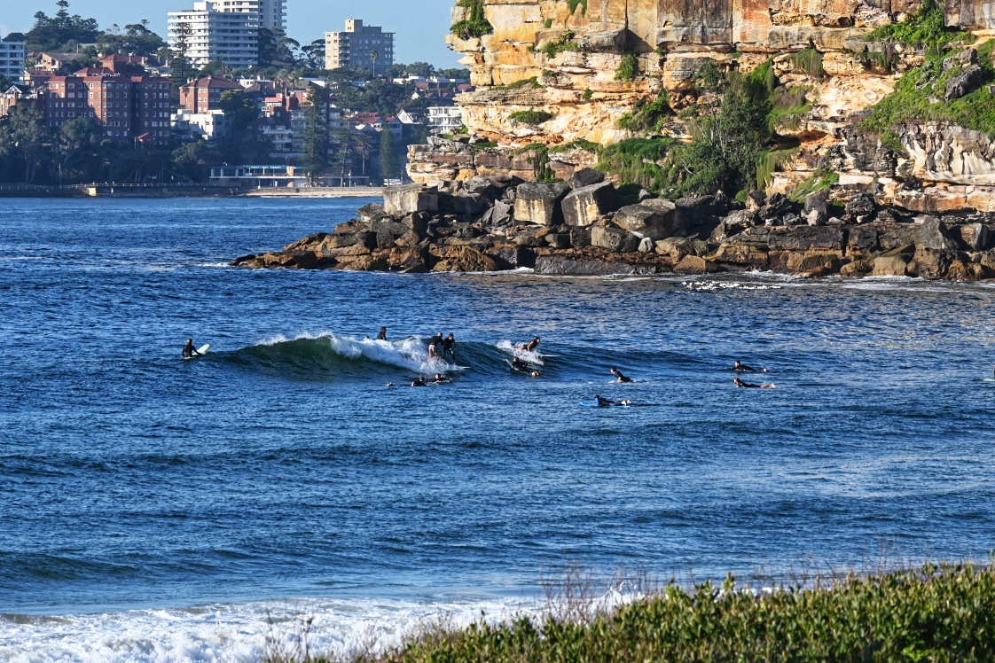
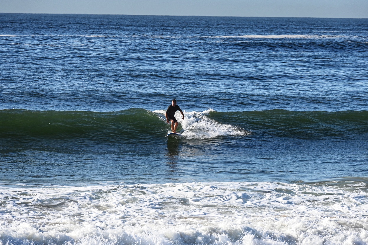
Beautiful autumnal morning out there. Waves are hard to find though. You need perfect alignment with the 6-7 second period 1-metre dead south swell and a bank to focus it on morning with a 1.88 m high tide at 0930.
The only place I saw that happening was at Freshie.
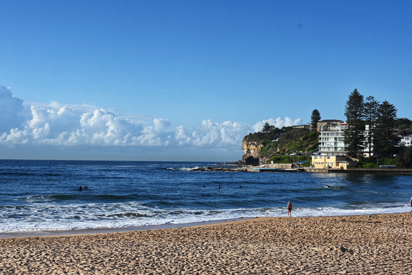
Beachwatch continues to flag all Sydney beaches as “Pollution possible”, so yours truly is hanging back a little longer.
Wind was offshore early, but by the end of the day it should be out of the S-SE and it’ll stay southerly for through Wednesday. Swell should come up a touch with the wind change, but the models show average period staying in the 8-9 second range into the weekend. Wind looks like being more favourable on Thursday and Friday, so I’ve got my fingers crossed for the water to be reasonable by then…
Have yourself a top old Monday!
Weather Situation
Southerly winds will persist along the New South Wales coast for the coming days as a high pressure system over the Great Australian Bight slowly moves east. On Monday a surge of southerly winds is expected to reach the southern coast, and then extend northwards on Tuesday.
Forecast for Monday until midnight
Winds
South to southeasterly about 10 knots increasing to 10 to 15 knots in the late afternoon. Winds reaching up to 20 knots offshore in the late evening.
Seas
Below 1 metre.
Swell
Easterly below 1 metre.
Weather
Partly cloudy. 50% chance of showers.
Tuesday 30 March
Winds
Southerly 15 to 20 knots.
Seas
Around 1 metre, increasing to 1 to 1.5 metres during the morning.
Swell
Southerly around 1 metre, increasing to 1.5 to 2 metres during the morning.
Weather
Partly cloudy.
Wednesday 31 March
Winds
Southerly 15 to 20 knots.
Seas
1 to 2 metres.
Swell
Southerly 1.5 metres.
Weather
Partly cloudy. 50% chance of showers.

