Hello Friends,
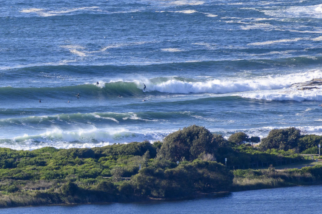
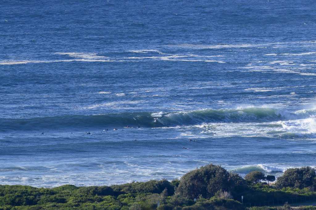
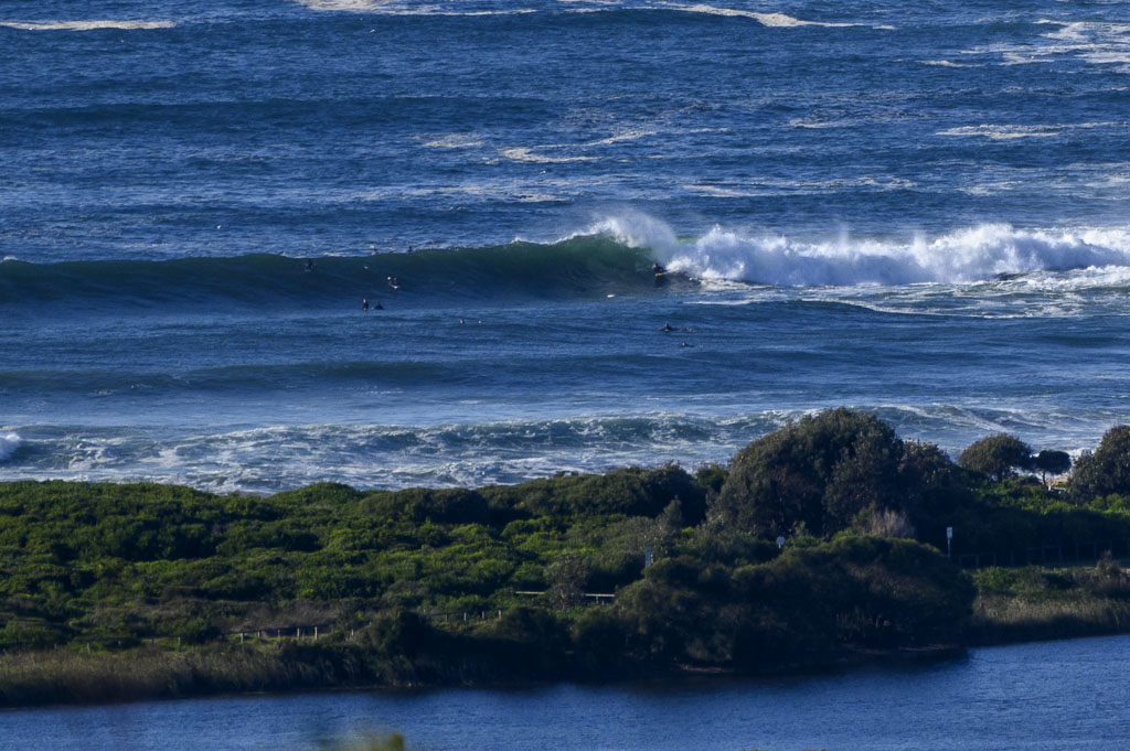
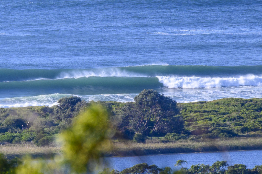
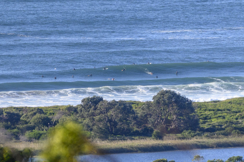
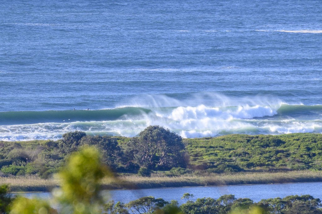
Swell powering in as Monday got started. Sets were into the 1.5x overhead range (probably bigger on bombs) and people were chasing their opportunities at the point and up the beach toward No Mans. Wind was a brisk 12-17 WSW’ly and out at sea the buoys were seeing 3.4 m 11 second SE (160°) swell. Water quality is back to normal and ocean temp is 23C – which is a couple degrees warmer than the expected 21C high today. First tide of the daylight hours is the 1.59 m high at 0830; it’ll be back to low at 1430.
Swell should stick around at about this intensity all day and through to tomorrow morning’s session. From there it currently looks like remaining surfable right into the weekend. Gotta love autumn!
Weather Situation
A strong high pressure system drifts across southeast Australia today, reaching the Tasman Sea by Tuesday. The next trough looks set to affect the region during the middle of the week.
Forecast for Monday until midnight
- Winds
- Southwesterly 15 to 25 knots.
- Seas
- 1.5 to 2.5 metres.
- Swell
- Southerly 2 to 3 metres inshore, increasing to 3 to 4 metres offshore during the afternoon.
- Weather
- Partly cloudy.
- Caution
- Large and powerful surf conditions are expected to be hazardous for coastal activities such as crossing bars by boat and rock fishing.
Tuesday 13 April
- Winds
- Southwesterly 15 to 20 knots becoming variable about 10 knots in the middle of the day then becoming north to northwesterly 15 to 20 knots in the late afternoon.
- Seas
- 1 to 1.5 metres.
- Swell
- Southerly 2.5 to 3.5 metres, decreasing to 1.5 to 2 metres during the afternoon or evening.
- Weather
- Mostly sunny.
Wednesday 14 April
- Winds
- North to northwesterly 15 to 20 knots tending west to northwesterly 15 to 25 knots during the day.
- Seas
- 1 to 2 metres, decreasing to 1 to 1.5 metres during the afternoon or evening.
- Swell
- Southerly 1.5 metres.
- Weather
- Mostly sunny.


