Hello Friends,
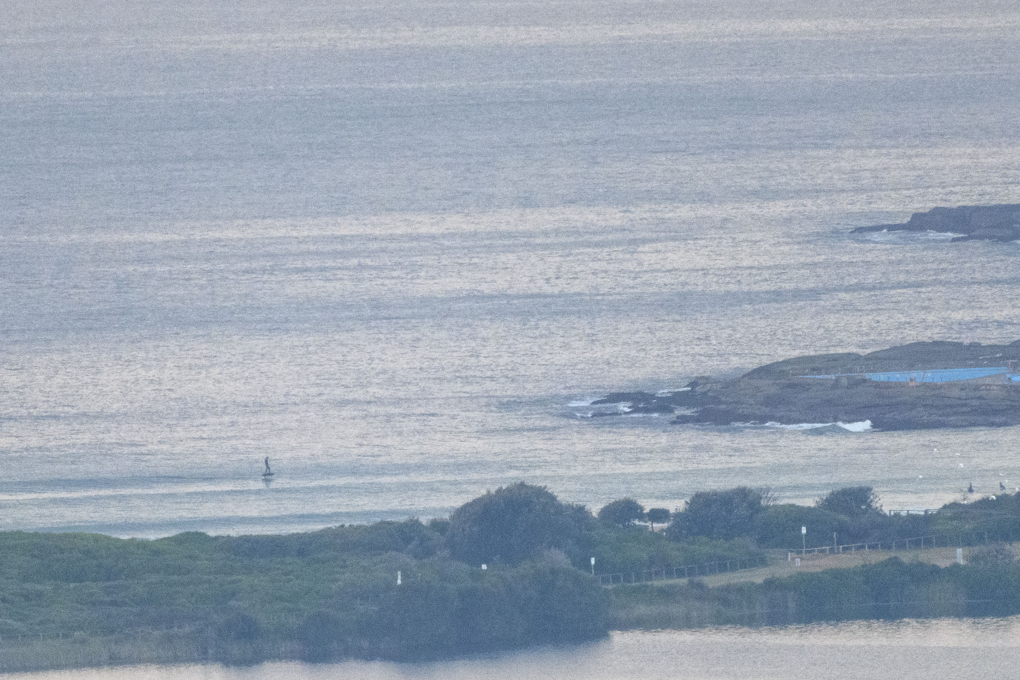
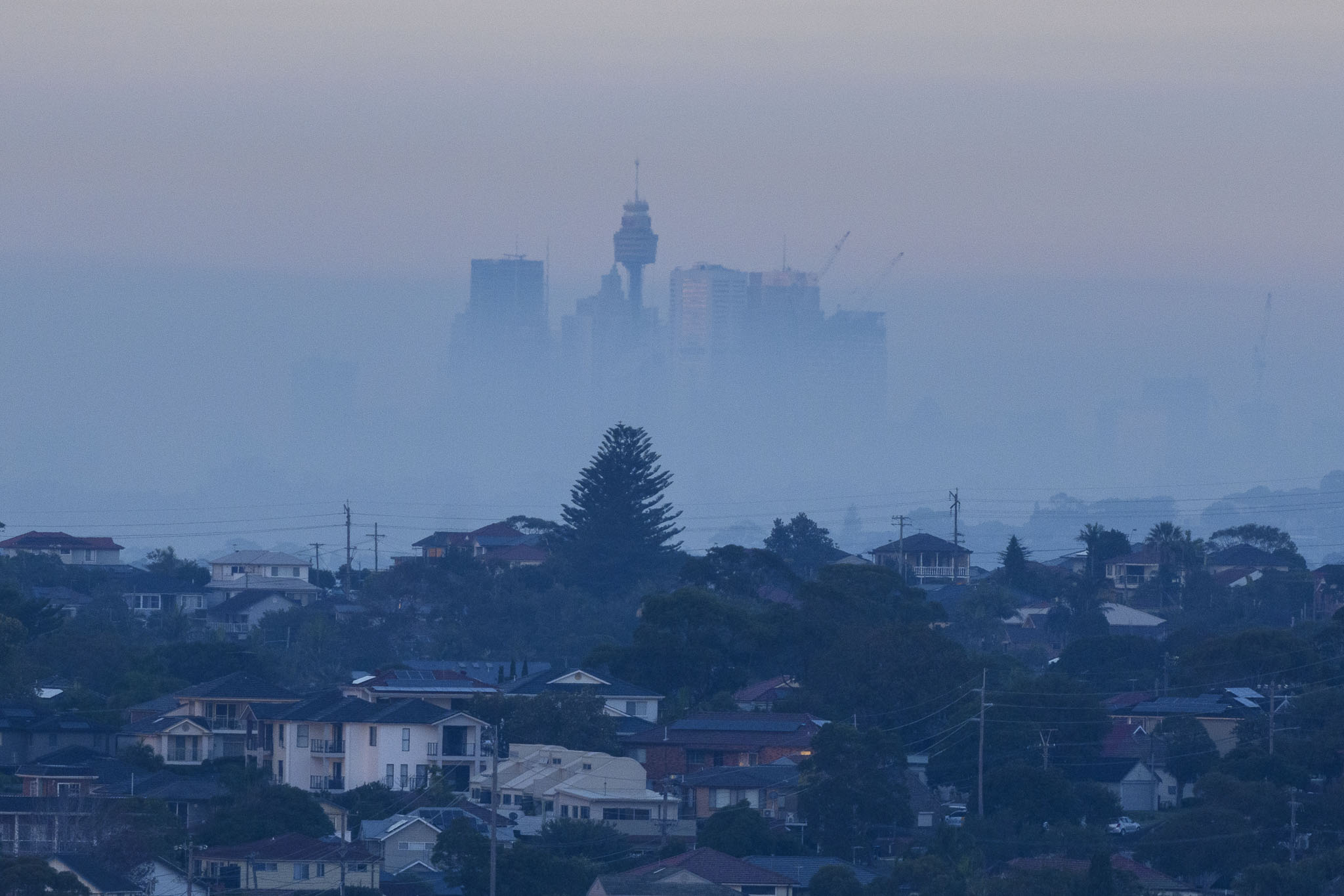
Not a good morning in Sydney for those with breathing difficulties, and not exactly healthy for the rest of us either. Waves at Dee Why were very tiny for the most part, although it looked like every once in awhile something in the knee high range arrives and if you’re on a mal or a SUP, you can get a little slide in the glassy conditions. Swell at sea has faded a bit more and was 0.7 m at 10 seconds from 153° as of 0720. That should mean the odd waist high set at optimal exposures.
Tide is coming off a low of 0.29 m at 0450 and will be back to a moderate 1.49 m high at 1055. It should be a partly cloudy day that should get to a high of 24C and there might be a sprinkle later.
Go well with your Friday everybody!
It’s Friday morning, so as usual, we have the Mighty Goat’s words of surf wisdom to guide our wave riding plans across the coming week.
Weather Situation
A high pressure system will remain over the Tasman Sea over the next few days, directing northeast to southeasterly winds across the coast. Northerly winds may then increase along the southern coast on the weekend as the high moves closer to New Zealand.
Forecast for Friday until midnight
- Winds
- East to northeasterly about 10 knots.
- Seas
- Below 1 metre.
- Swell
- Southeasterly below 1 metre.
- Weather
- Partly cloudy. 50% chance of showers. Areas of smoke haze in the morning.
Saturday 1 May
- Winds
- Northeasterly 10 to 15 knots.
- Seas
- Below 1 metre.
- Swell
- Southeasterly below 0.5 metres.
- Weather
- Partly cloudy. 80% chance of showers.
Sunday 2 May
- Winds
- North to northeasterly 10 to 15 knots.
- Seas
- Around 1 metre.
- Swell
- Northeasterly below 1 metre.
- Weather
- Partly cloudy. 80% chance of showers.

