Hello Friends,
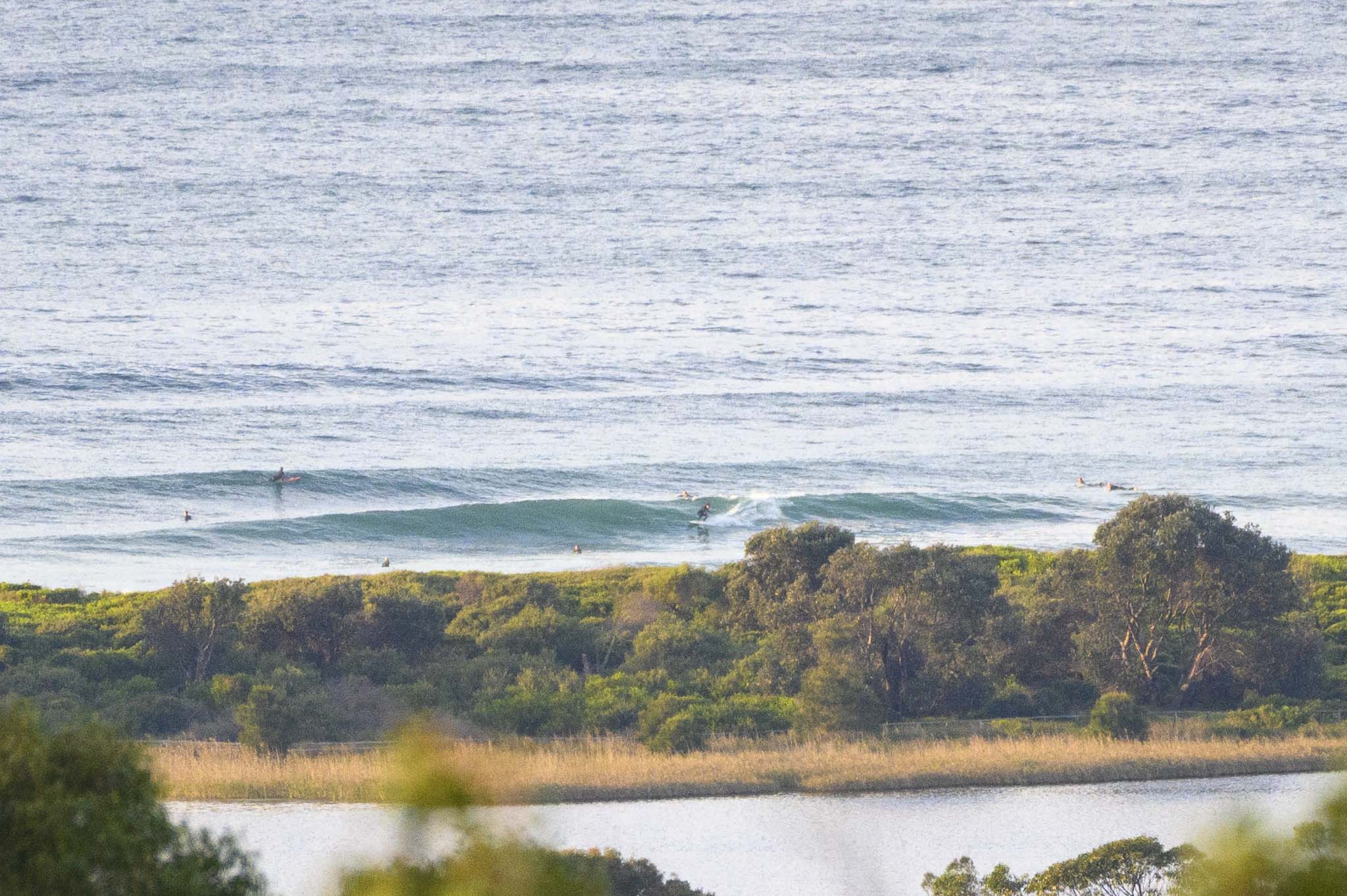
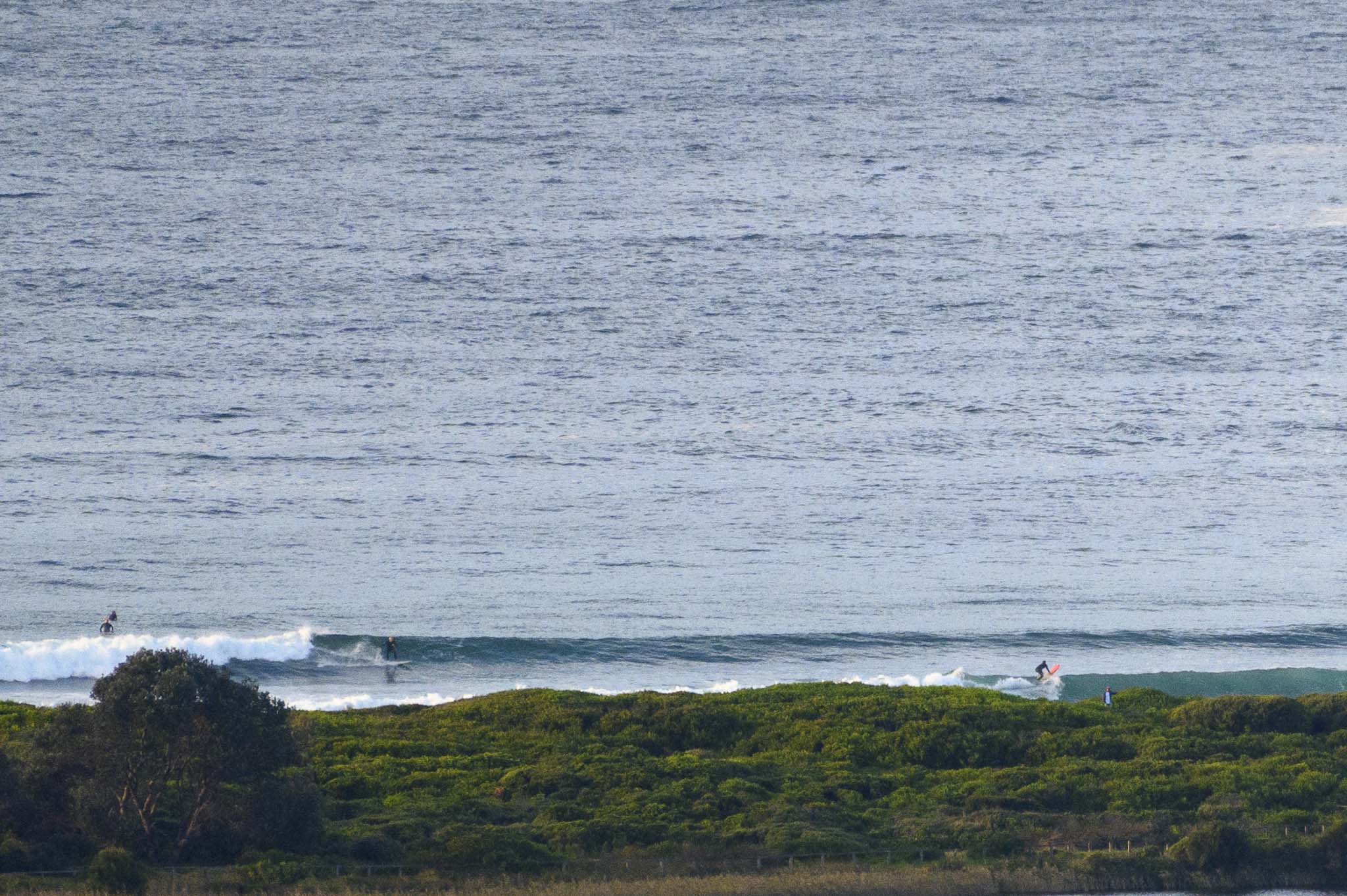
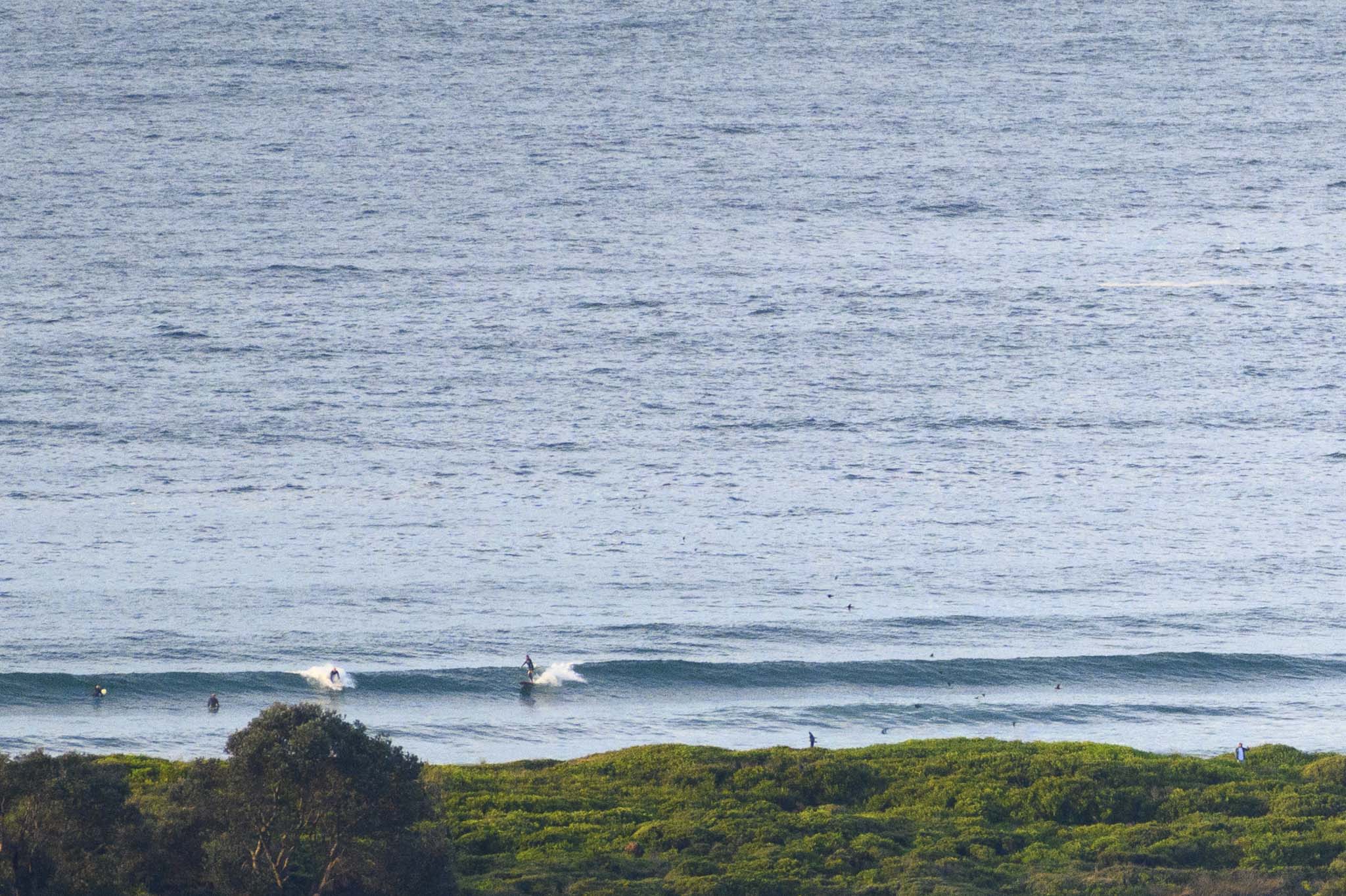
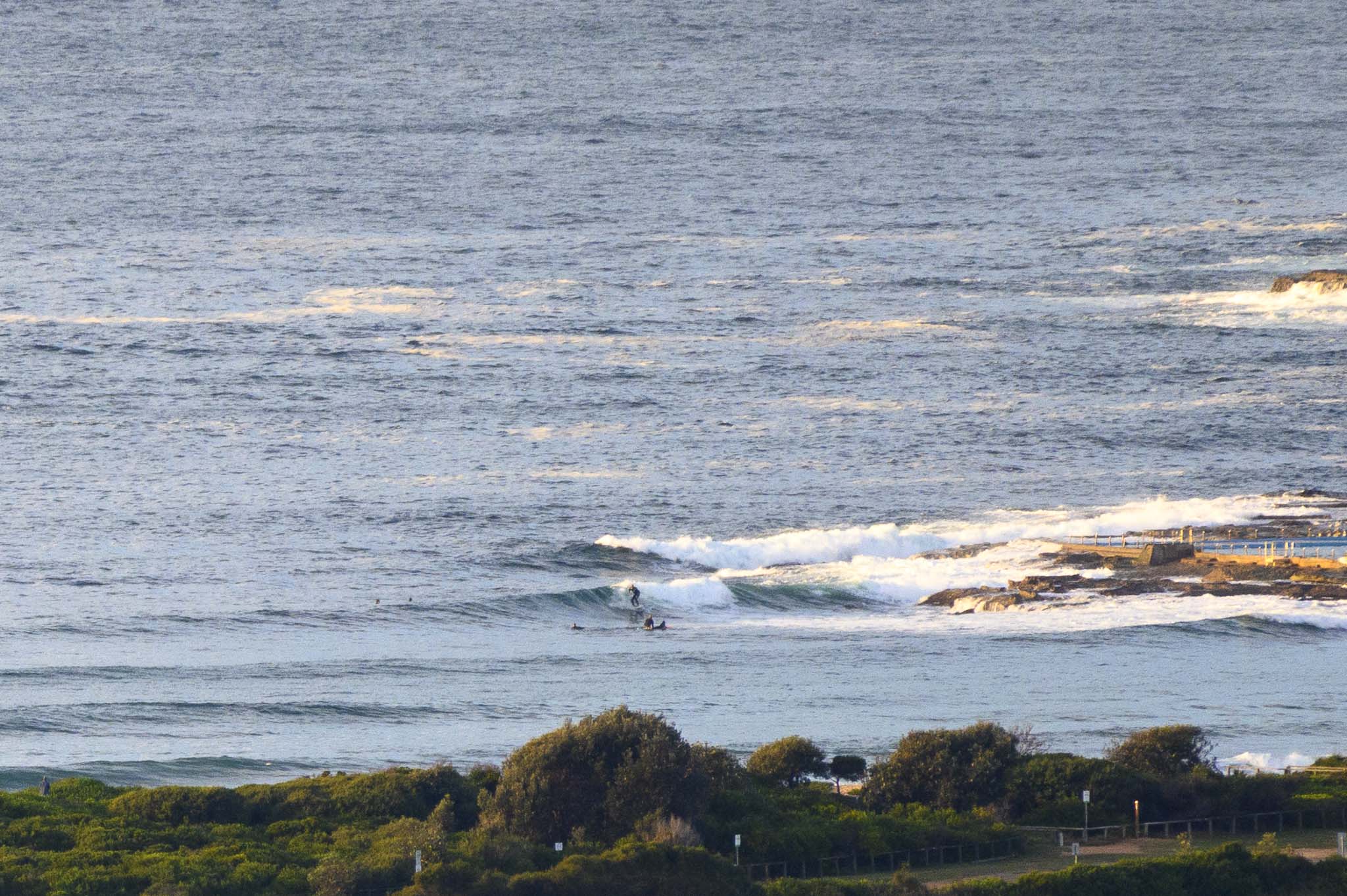
What an autumn we’ve had. And it continues this morning with partly cloudy skies, light WSW wind and waves into the shoulder high range on the bigger ones. At Dee Why the energy is mostly missing the point, but it looks kind of fun, if a bit inconsistent, up th beach. Out at sea the swell has bumped back up into the two metre range and the period has stretched out a little to 10 seconds with a dominant direction of 146°. Tide hits a 1.4 m high at 0835 and then drops back to the low at 1420.
While there is nothing remarkable in this morning’s run of the swell models, it does look as though we should have solid surf tomorrow and Friday at least.
Have a top old Wednesday everyone!
Weather Situation
A slow-moving trough is off the south coast of New South Wales while a high pressure system over the southern Tasman Sea moves east today. The trough will move east on Thursday ahead of the next cold front which is expected to clip the south coast late on Thursday and establish fresh southwesterly flow across most coastal waters on Friday.
Forecast for Wednesday until midnight
- Winds
- Variable about 10 knots becoming south to southwesterly 10 to 15 knots in the morning.
- Seas
- Below 1 metre.
- 1st Swell
- Southerly 1 to 1.5 metres.
- 2nd Swell
- Easterly 1 to 1.5 metres.
- Weather
- Cloudy. 50% chance of showers. The chance of a thunderstorm.
Thursday 13 May
- Winds
- West to southwesterly 10 to 15 knots, reaching up to 20 knots offshore in the evening.
- Seas
- Around 1 metre.
- Swell
- Easterly 1.5 to 2 metres.
- Weather
- The chance of a thunderstorm offshore in the morning. Mostly sunny afternoon.
Friday 14 May
- Winds
- West to southwesterly 15 to 25 knots.
- Seas
- 1 to 2 metres.
- 1st Swell
- Southeast to southwesterly 1 to 2 metres.
- 2nd Swell
- Easterly 1.5 to 2 metres.
- Weather
- Partly cloudy.


