Hello Friends,
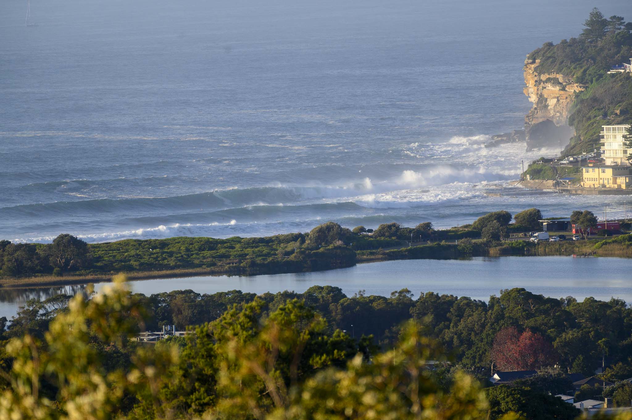
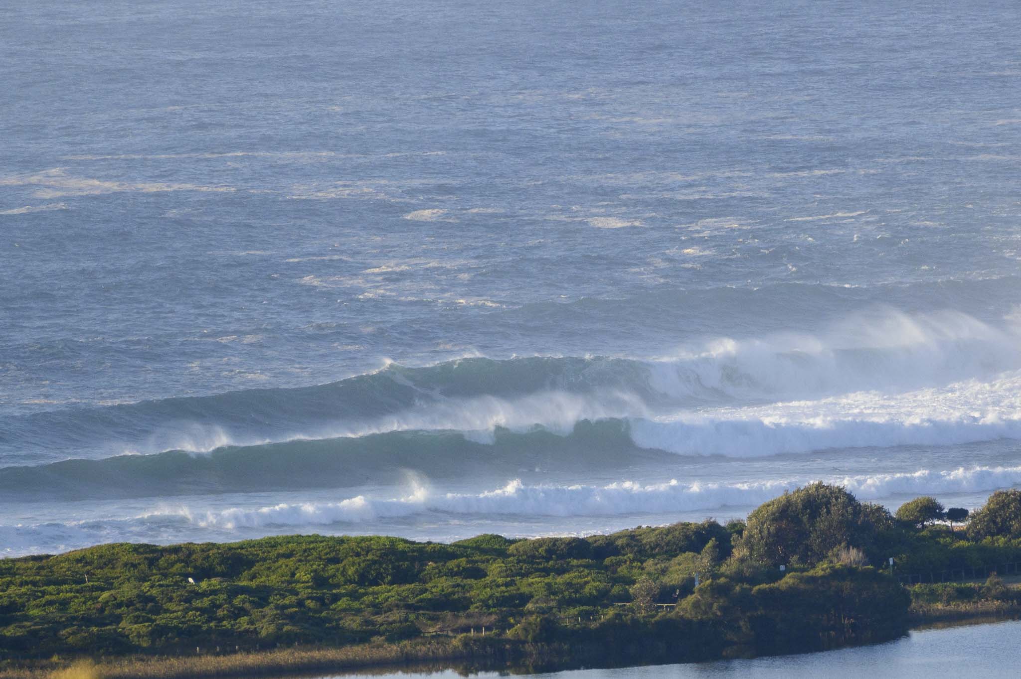
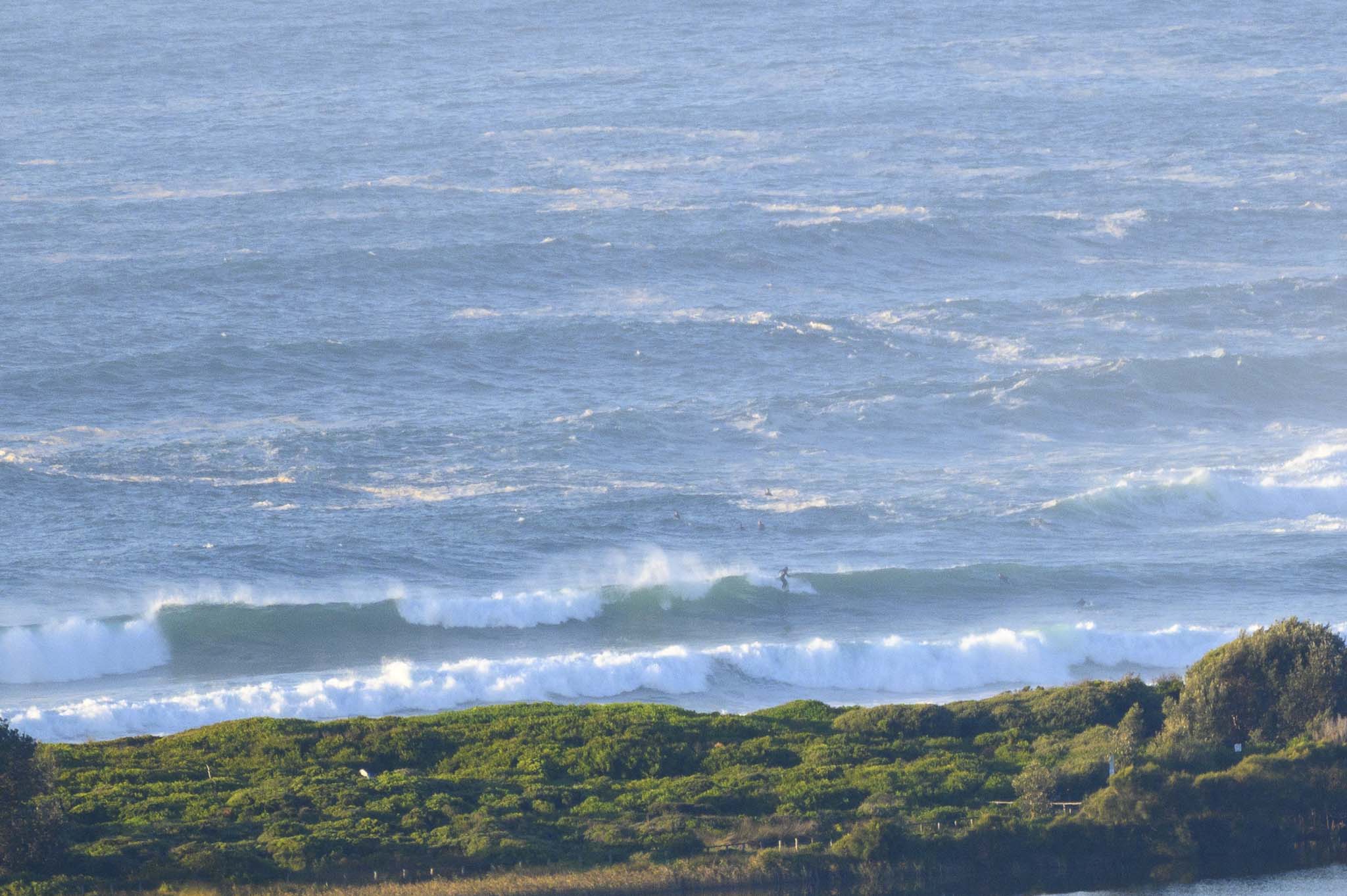
Nutty this morning at Dee Why as long period east swell thunders in. Seems to have surprised the BoM too. They were right about it being 2 metres at sea, but when the period gets close to 15 seconds like this stuff, wave faces are a wee bit bigger than that.
Obviously not a morning for beginners or intermediates at Dee Why. Stay out for now and enjoy the spectacle.
Check back later for more pics…
Dee Why going nuts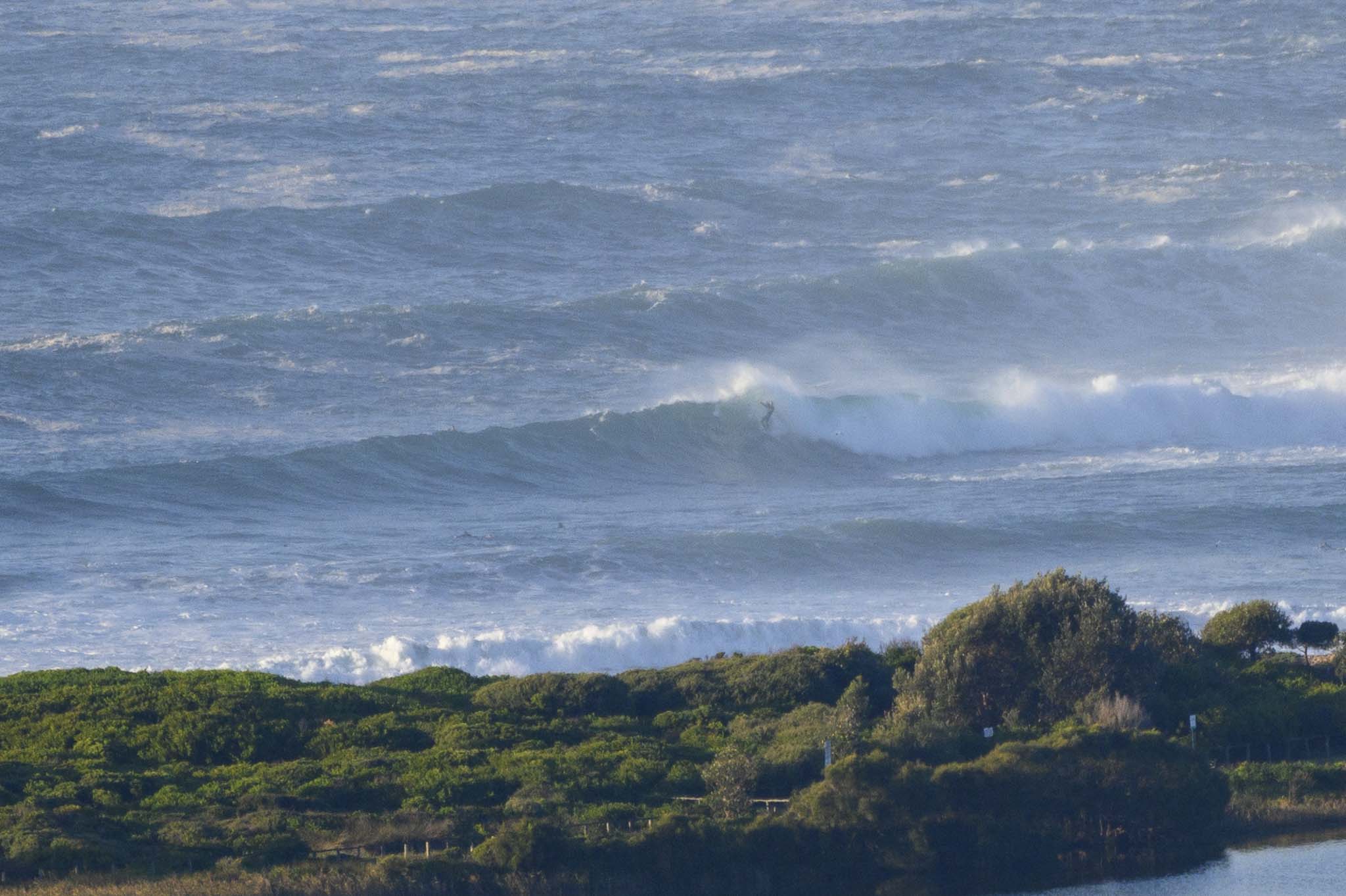
Weather Situation
Northerly winds will strengthen along the southern half of the coast today ahead of the cold front that will cross the coastal waters on Wednesday, with a gusty southwesterly wind change in the wake. Winds will turn southerly during the latter part of the week, with strong to gale force winds and large waves possible, as another front looks set to brush the coast in association with a deepening low pressure system near New Zealand.
Forecast for Tuesday until midnight
- Winds
- North to northeasterly 10 to 15 knots increasing to 15 to 20 knots during the day, reaching up to 25 knots offshore in the evening.
- Seas
- Around 1 metre, increasing to 1 to 1.5 metres by early evening.
- Swell
- Easterly 1.5 to 2 metres.
- Weather
- Partly cloudy.
Wednesday 26 May
- Winds
- Northerly 20 to 25 knots shifting west to southwesterly 15 to 25 knots in the early afternoon.
- Seas
- 1.5 to 2 metres.
- Swell
- Easterly 1 to 1.5 metres.
- Weather
- Mostly sunny.
Thursday 27 May
- Winds
- Southwesterly 15 to 25 knots.
- Seas
- 1.5 to 2 metres.
- 1st Swell
- Southwesterly below 1 metre, tending southerly 1.5 to 2.5 metres during the morning.
- 2nd Swell
- Easterly 1 to 1.5 metres, decreasing to around 1 metre during the afternoon or evening.
- Weather
- Mostly sunny.

