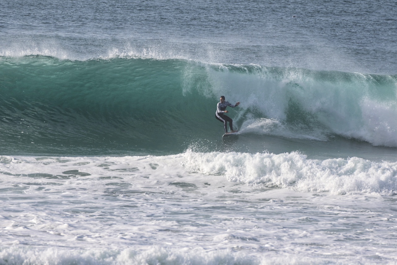
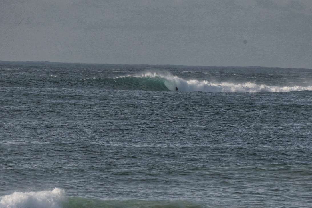
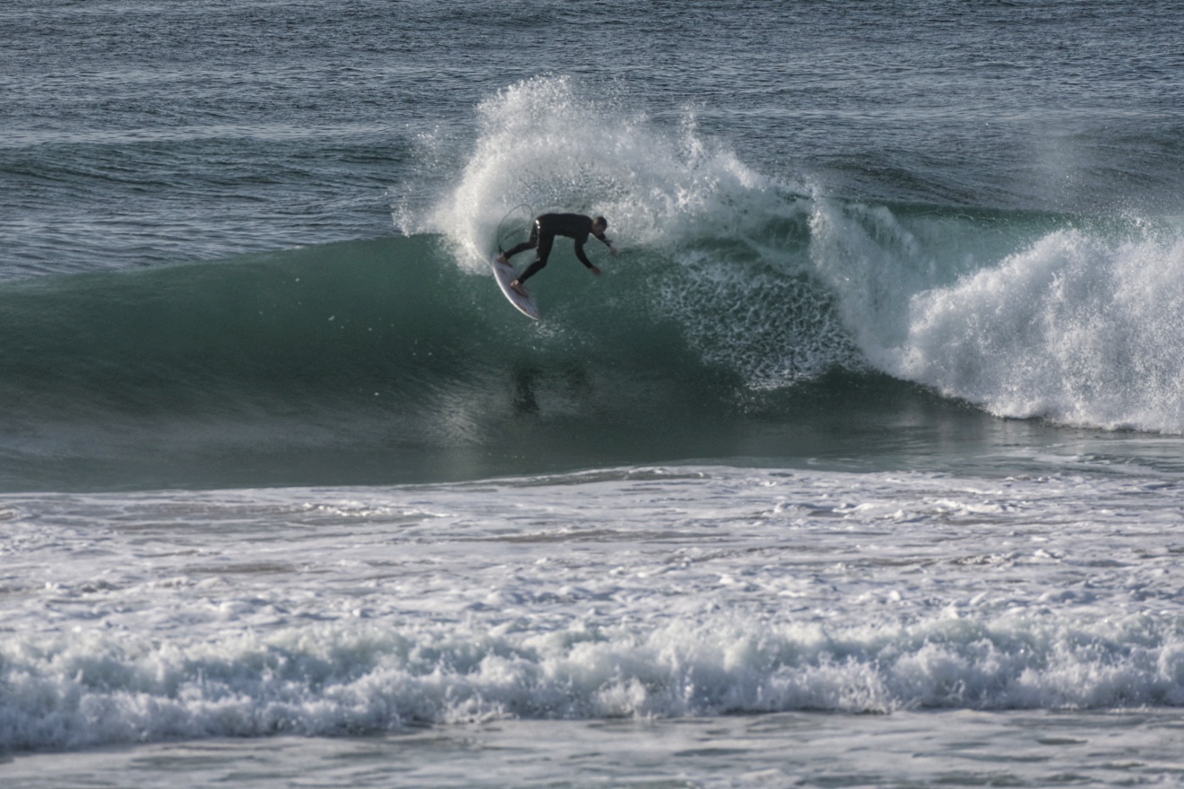
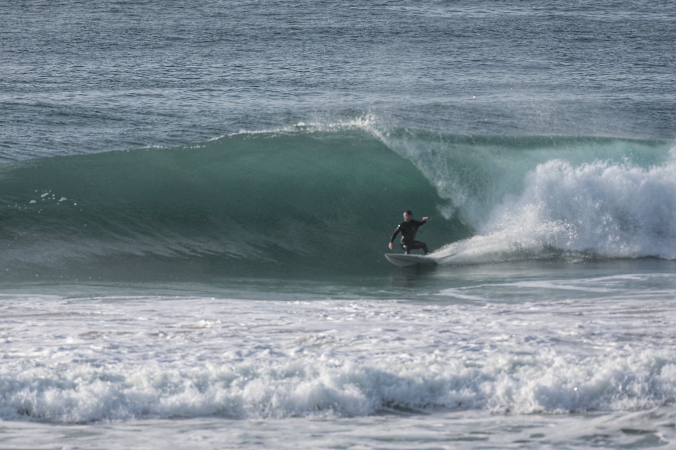
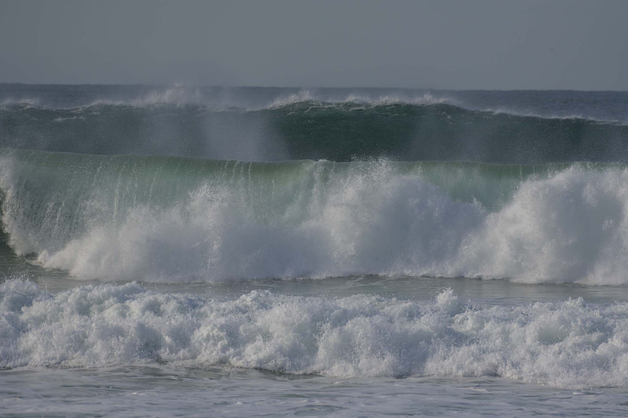
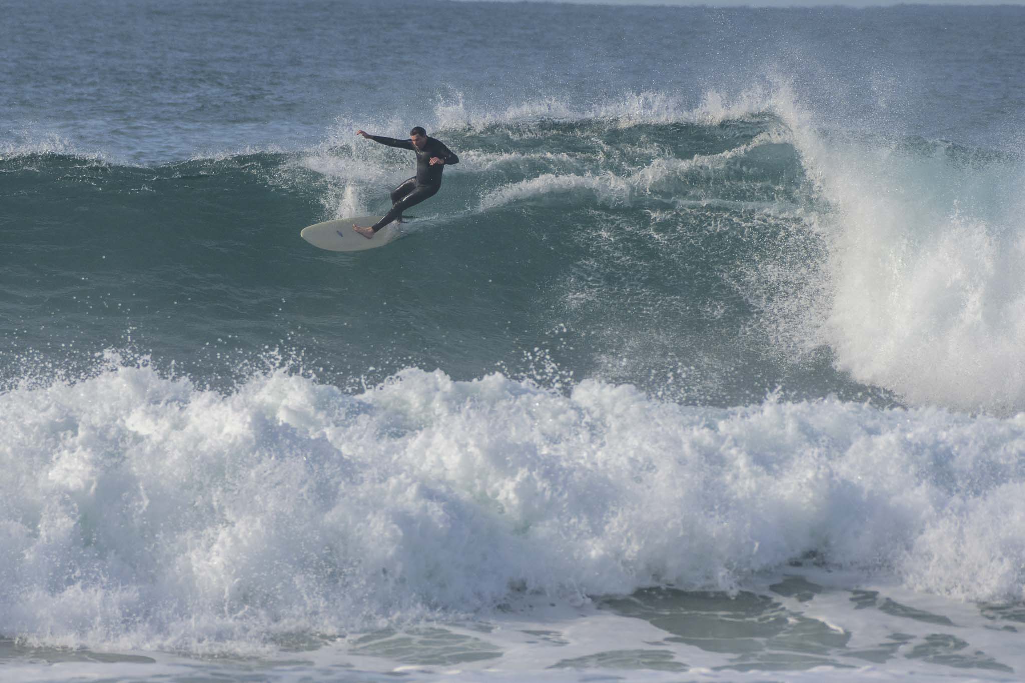
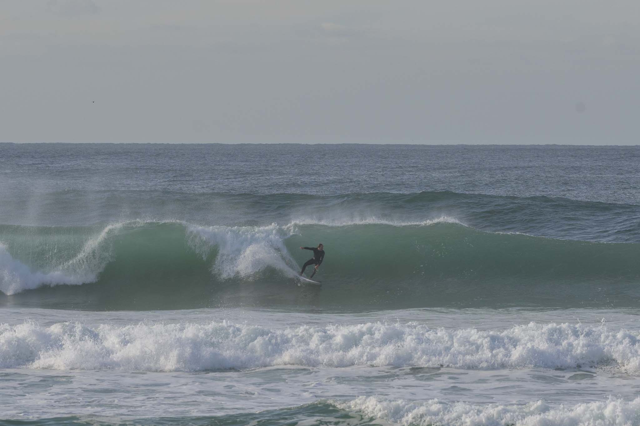
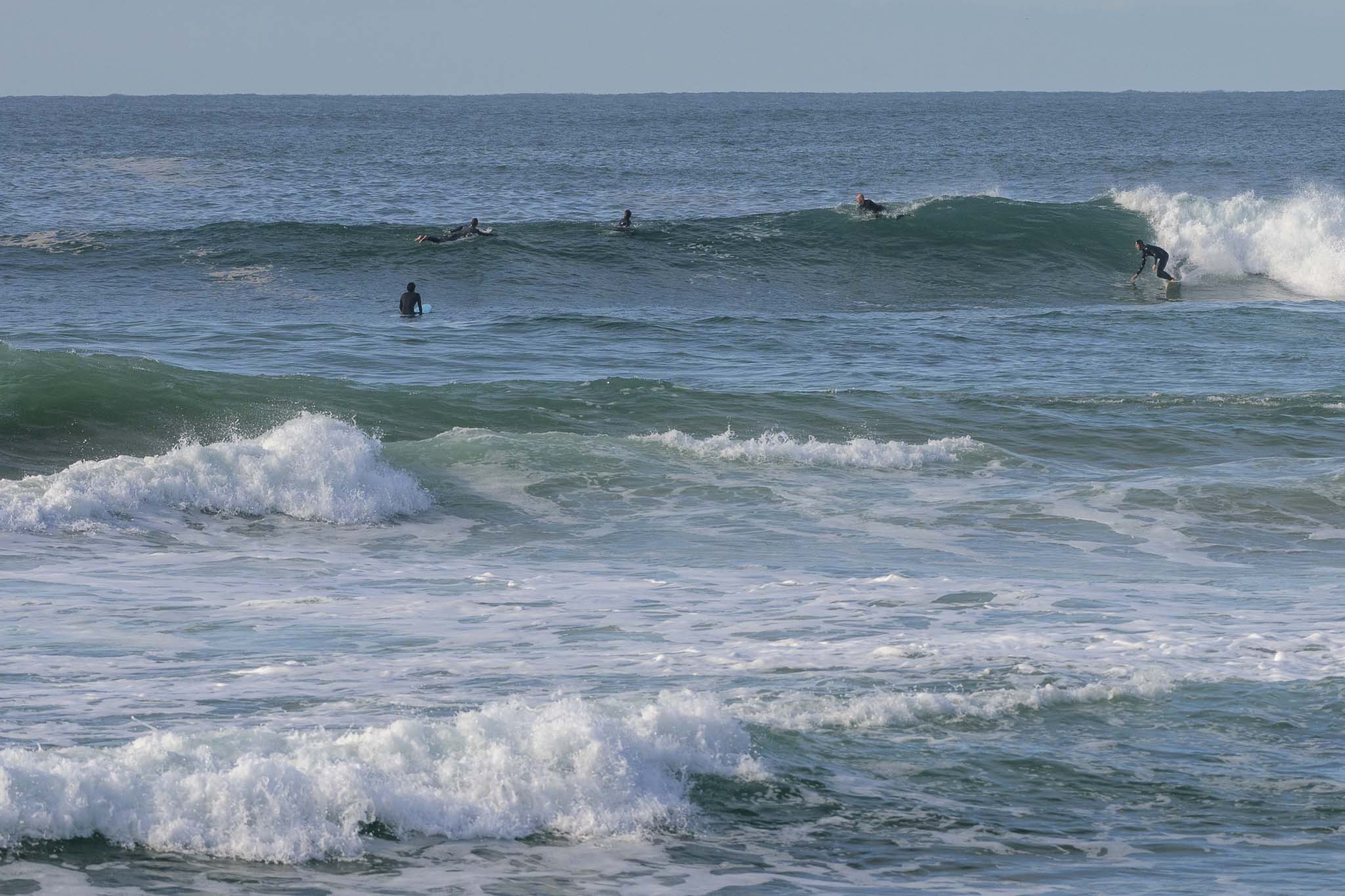
North SteyneStill some bombs left in the mix at Dee WhyAround 0945, Dee Why pointExciting shutdowns at Dee Why beachCrew on the point
As of 0730, wind was NNW at 5-6 kts under partly cloudy skies and air temp was 10 C. Swell was still marching in too, with double overhead sets shutting down Dee Why point every now and then. Out at sea the waverider buoys were detecting a mix of 9-13 second 2-3 metre SE swell. Tide was just past the morning low and heading toward a modest 1.33 m high at 1445. Swell’s set to fade but size should still be excluding the beginners from most spots all day.
Weather Situation
A strong high pressure system lies over southeastern Australia, while a deep low moves over New Zealand. This pattern is promoting moderate to fresh southerly winds along the northern coast and southerly winds over the south coast, while a large, long-period southerly swell gradually eases. Over the coming days winds should generally turn northwesterly ahead of the next southerly change due on Friday.
Forecast for Tuesday until midnight
Winds
North to northwesterly 10 to 15 knots tending west to northwesterly during the afternoon and evening.
Seas
Around 1 metre.
Swell
Southeasterly 2.5 to 3 metres, decreasing to 2 metres around midday.
Weather
Mostly sunny.
Caution
Large and powerful surf conditions in the morning are expected to be hazardous for coastal activities such as crossing bars by boat and rock fishing.
Wednesday 2 June
Winds
Westerly 10 to 15 knots becoming variable below 10 knots in the early afternoon.
Seas
Below 1 metre.
Swell
Southeasterly 1.5 metres, decreasing to around 1 metre during the morning.
Weather
Partly cloudy.
Thursday 3 June
Winds
North to northwesterly 10 to 15 knots.
Seas
Below 1 metre.
Swell
Southeasterly below 1 metre.
Weather
Partly cloudy. 80% chance of showers. The chance of a thunderstorm.