Hello Friends,
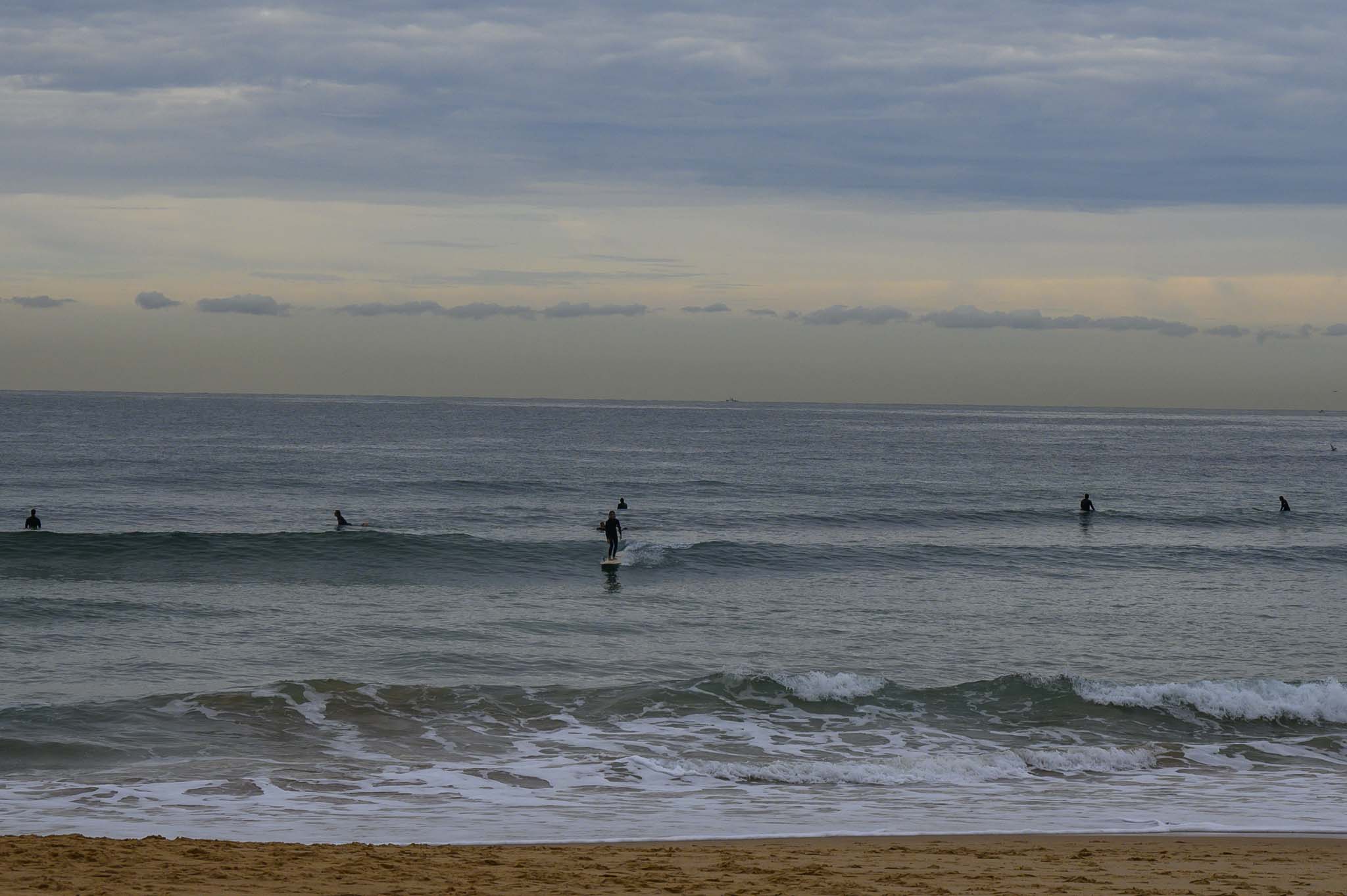
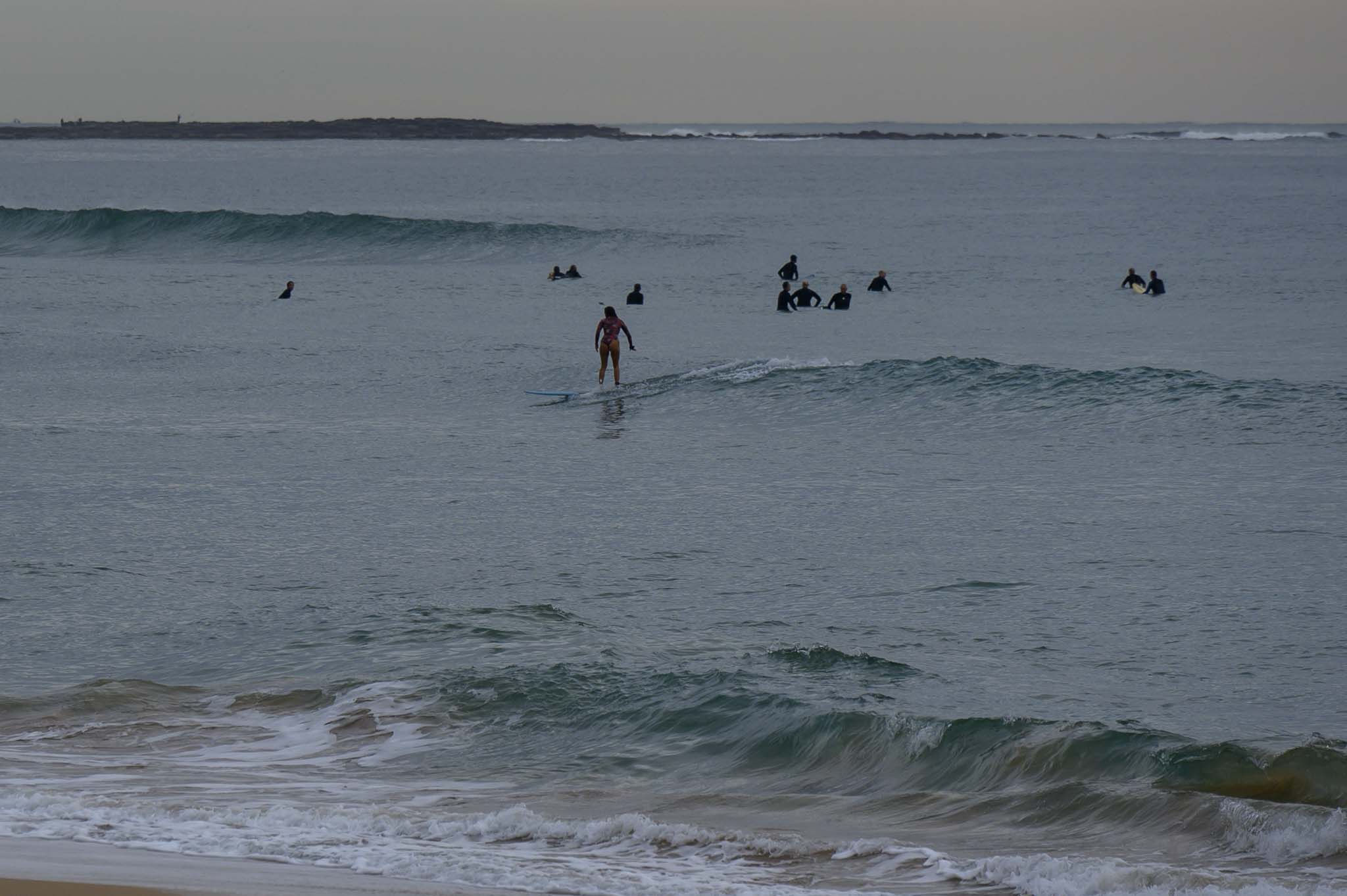
Only a few little scraps of energy left around this morning. Very, very small, very weak and very inconsistent everywhere.
Have a great Thursday and check back later to see what the Mighty Goat foretells.
Weather Situation
A high pressure system is centred west of New Zealand’s north island while a trough lies across Victoria and New South Wales. Northerly winds will develop over most coastal waters today, before a fresh to strong southwest change arrives on Friday.
Forecast for Thursday until midnight
- Winds
- North to northwesterly about 10 knots.
- Seas
- Below 1 metre.
- Swell
- Southeasterly below 1 metre.
- Weather
- Partly cloudy. 90% chance of rain.
Friday 4 June
Strong Wind Warning for Friday for Sydney Coast
- Winds
- West to southwesterly 15 to 20 knots tending south to southwesterly 25 to 30 knots during the morning.
- Seas
- Around 1 metre, increasing to 2 to 3 metres during the morning.
- Swell
- East to southeasterly below 0.5 metres.
- Weather
- Cloudy. Near 100% chance of showers. The chance of a thunderstorm offshore.
Saturday 5 June
- Winds
- Southerly 25 to 30 knots turning west to southwesterly below 10 knots during the afternoon.
- Seas
- 2 to 3 metres, decreasing to 1 metre during the afternoon or evening.
- Swell
- Southerly below 1 metre, increasing to 1.5 to 2 metres during the morning.
- Weather
- Partly cloudy. 50% chance of showers.


