Hello Friends,
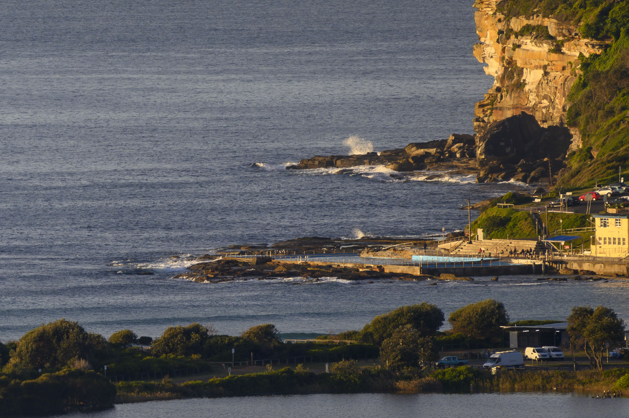
The picture tells the story. In line with expectations, it’s faded away to unsurfable this morning. So, a day for other things.
Outlook is for the current weak and tiny conditions to last through Wednesday. It could bump up into the just-surfable range at south magnets by Thursday morning. Here’s hoping!
Have a top old Monday everyone.
Weather Situation
A high pressure system is centred over northeastern New South Wales as a cold front moves over the Bight. This set up is bringing northerly winds across all waters, gradually strengthening during today and into Tuesday ahead of a west to southwesterly change on Wednesday behind the front. A low pressure system is then forecast to develop over coastal waters during mid-week, though the strength and location is currently uncertain.
Forecast for Monday until midnight
- Winds
- Northwesterly about 10 knots tending northerly 15 to 20 knots in the morning.
- Seas
- Below 1 metre, increasing to 1 to 1.5 metres during the afternoon.
- Swell
- Southerly around 1 metre.
- Weather
- Mostly sunny.
Tuesday 8 June
- Winds
- Northerly 15 to 25 knots.
- Seas
- 1.5 to 2 metres.
- Swell
- Easterly below 1 metre.
- Weather
- Mostly sunny. 60% chance of showers.
Wednesday 9 June
- Winds
- Northwesterly 20 to 25 knots turning westerly during the day.
- Seas
- 1 to 1.5 metres, increasing to 1.5 to 2 metres offshore.
- Swell
- Northeasterly around 1 metre inshore, increasing to 1 to 1.5 metres offshore during the morning.
- Weather
- Cloudy. Near 100% chance of showers. The chance of a thunderstorm in the afternoon and evening.

