Hello Friends,
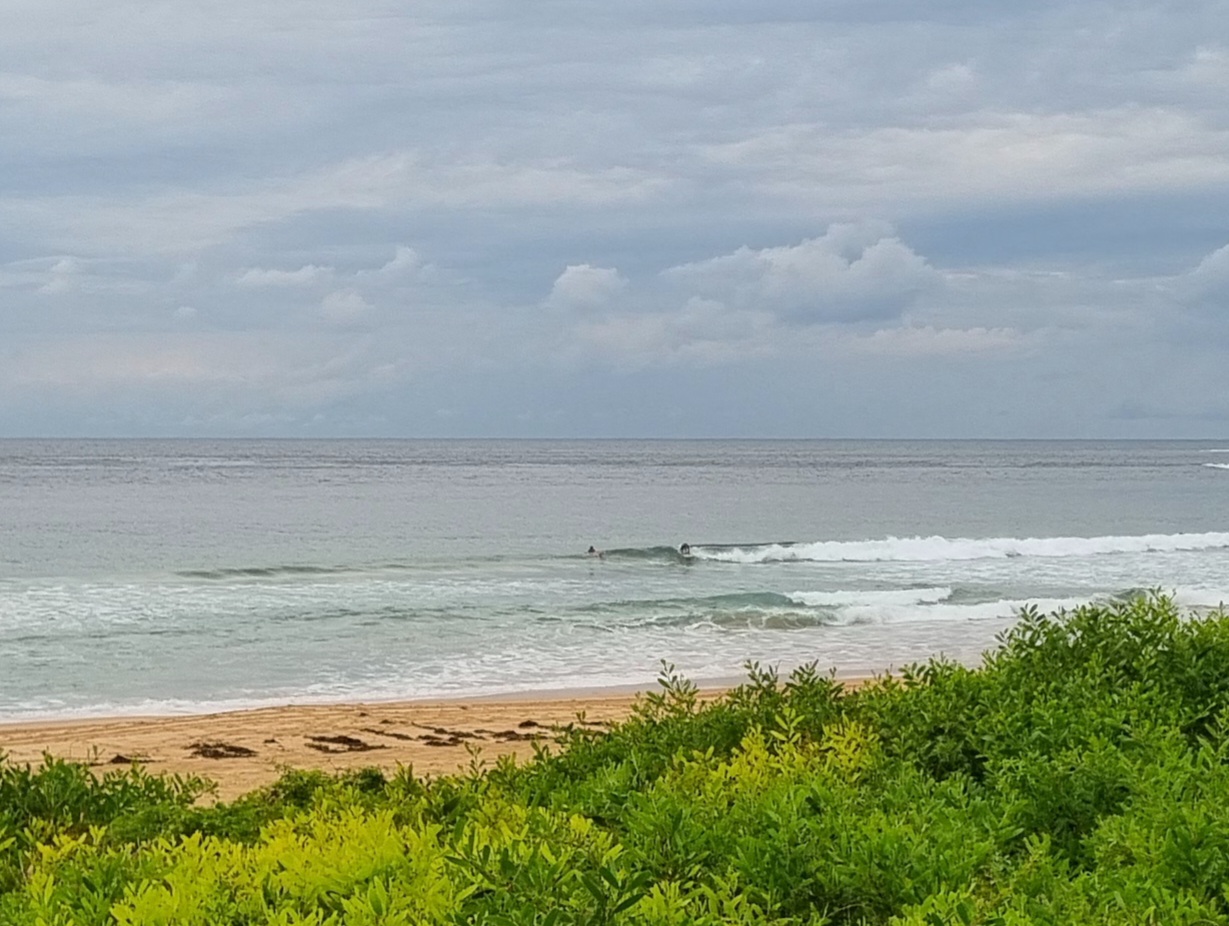
No surf whatsoever at Dee Why on a chilly grey Tuesday morning. We could have a late shower this evening and then we’re in for three rainy, cold days. There is some prospect that the swell will start coming back into the surfable range by Friday and Saturday. But for now, all we can do is wait.
Weather Situation
A high pressure system is centred over the northern Tasman Sea whilst a cold front is crossing the west of the state, strengthening northerly winds across all waters ahead of a west to southwesterly change on Wednesday behind the front. Then an East Coast Low looks set to form off the southern coastal waters during the mid-week, although the strength and exact location is still uncertain.
Forecast for Tuesday until midnight
Strong Wind Warning for Tuesday for Sydney Coast
- Winds
- North to northwesterly 15 to 20 knots tending north to northeasterly 15 to 25 knots during the afternoon, reaching 30 knots at times in the evening.
- Seas
- 1 to 2 metres.
- Swell
- East to northeasterly below 1 metre.
- Weather
- Partly cloudy.
Wednesday 9 June
- Winds
- Westerly 15 to 20 knots turning northwesterly in the late morning. Winds reaching up to 25 knots offshore in the evening.
- Seas
- 1 to 1.5 metres, increasing to 1.5 to 2 metres by early evening.
- Swell
- Northeasterly below 1 metre, increasing to 1 to 1.5 metres during the morning.
- Weather
- Cloudy. 95% chance of rain. The chance of a thunderstorm in the late morning and afternoon.
Thursday 10 June
- Winds
- North to northwesterly 20 to 30 knots turning west to northwesterly 10 to 15 knots during the afternoon.
- Seas
- 1.5 to 2.5 metres, decreasing to 1 metre during the afternoon or evening.
- Swell
- Northeasterly 1 to 1.5 metres, tending easterly 1.5 to 2 metres during the afternoon.
- Weather
- Cloudy. Near 100% chance of showers. The chance of a thunderstorm in the morning and afternoon


