Hello Friends,
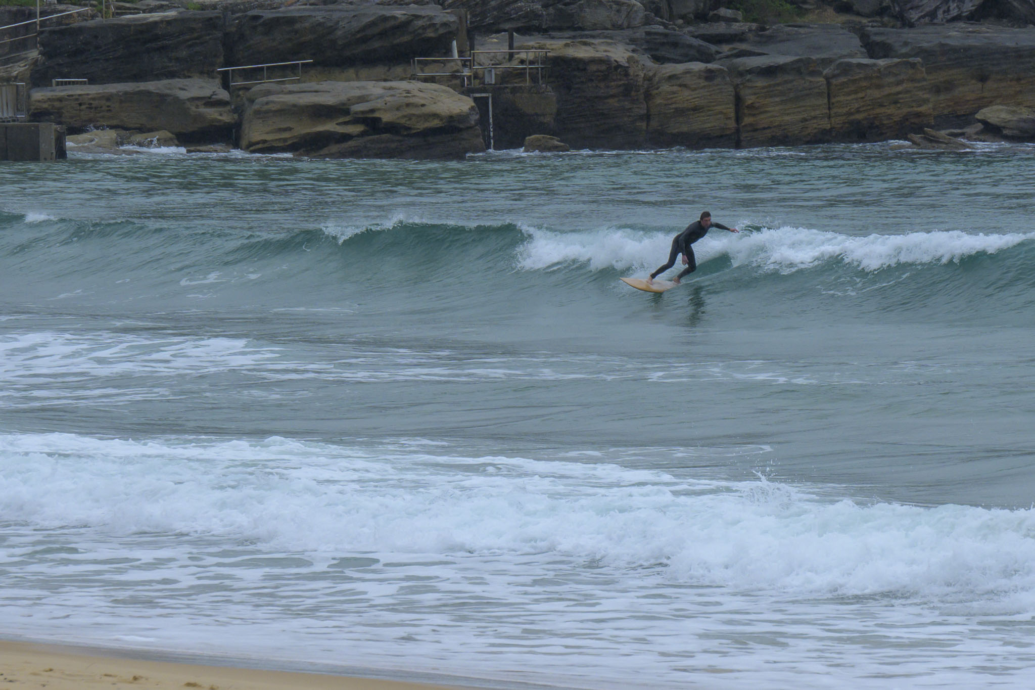
Grey skies and a balmy 8C as of 0800. Ocean was smooth but still mostly microscopic. Out at sea the swell is up over the metre mark at 9 seconds from the NE. Tide was high at 0810 and will be back to low at 1445. Wind started texturing it up by 10, apart from a couple of stalwart hopefuls, the beaches from Manly to Dee Why were empty of surfers.
The Goat will roll out his forecast later today, so check back to see what he thinks of the coming week’s prospects.
Have a great Thursday and stay warm!
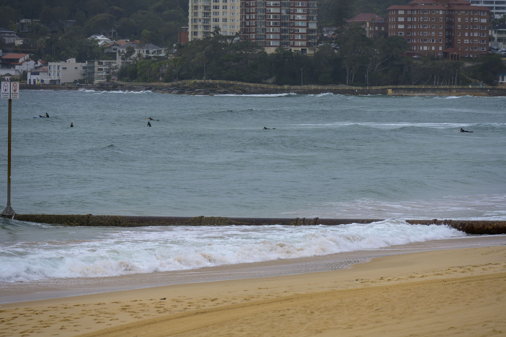 Less than amazing at Manly
Weather Situation
A low pressure system is developing near the southern NSW coast today and expected to move southeast during next few days, producing fresh to strong west to northwesterly winds about the northern part of the coast and east to northeasterly winds along the southern part of the coast. This low will linger in the region until Friday, but is expected to move away to the south by Saturday, maintaining fresh to strong winds along southern parts of the coast.
Forecast for Thursday until midnight
Strong Wind Warning for Thursday for Sydney Coast
- Winds
- North to northwesterly 15 to 20 knots, reaching up to 30 knots offshore.
- Seas
- 1.5 to 2.5 metres, decreasing to 1 to 1.5 metres by early evening.
- Swell
- East to northeasterly 1 to 2 metres.
- Weather
- Cloudy. 95% chance of showers. The chance of a thunderstorm offshore early this morning.
Friday 11 June
- Winds
- West to northwesterly 15 to 20 knots.
- Seas
- 1 to 2 metres.
- Swell
- East to northeasterly 1 to 2 metres.
- Weather
- Cloudy. 80% chance of showers. The chance of a thunderstorm offshore.
Saturday 12 June
- Winds
- Northwesterly 15 to 25 knots.
- Seas
- 1 to 2 metres.
- Swell
- Easterly around 1 metre.
- Weather
- Sunny.

