Hello Friends,
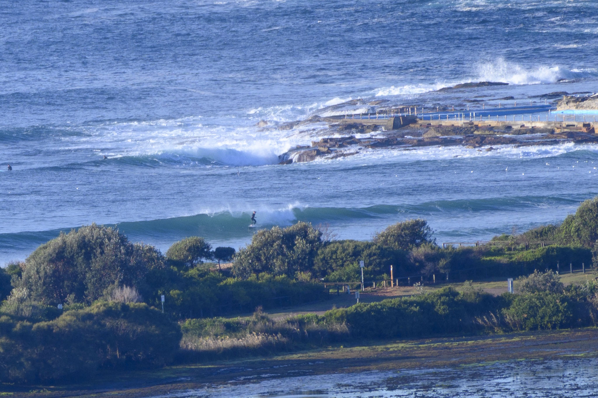
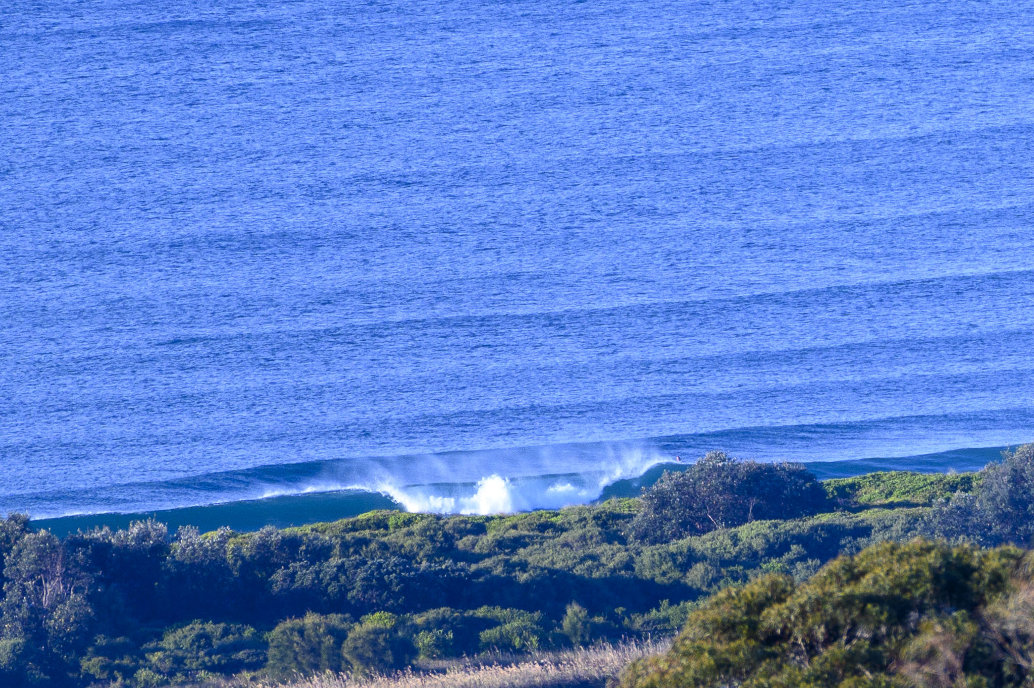
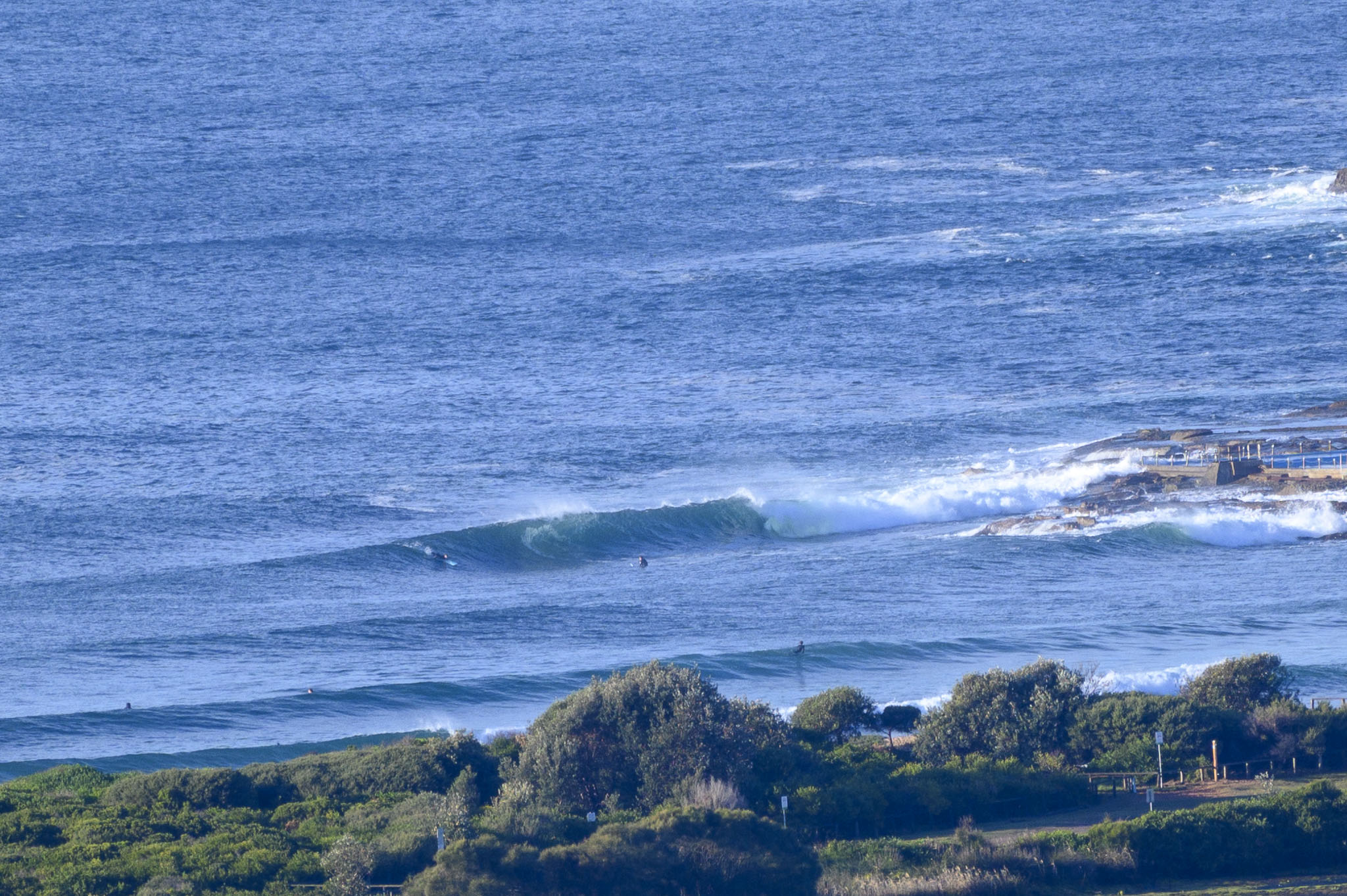
Icy early thanks to the cold air and 7-13 kt WNW wind, but skies were mostly clear and on top of all that, Dee Why was seeing waist to maybe shoulder high sets for the hardy specimens getting amongst it by 0800.
Out at sea the swell was 1.5 metres from the ENE at 9 seconds apart. The models predict that it will maintain these settings across the day. Wind’s set to stay W-NW too. First tide of the daylight hours is/was a moderate 1.3 metre high at 0850. Low is 0.6 m at 1420. It should be partly cloudy but we’re only getting to 16C for the high. Water’s 19C, so there is that.
Wondering about the weekend and beyond surf prospects? Well, as always, the Mighty Goat has examined the entrails and set forth his Sydney surf predictions for your kind attention.
Go well, stay warm and have fun.
Weather Situation
A low pressure system near the southern New South Wales coast will produce fresh and gusty west to northwesterly winds along northern and central parts of the coast and south to southeasterly winds along southern parts of the coast today. The west to northwesterly winds will spread everywhere along the coast on Saturday, and then tend west to southwesterly on Sunday and Monday, as the low moves away to the southeast.
Forecast for Friday until midnight
- Winds
- West to northwesterly 15 to 20 knots, reaching up to 25 knots offshore in the evening.
- Seas
- 1 to 2 metres.
- Swell
- East to northeasterly 1 to 2 metres.
- Weather
- Partly cloudy. 50% chance of showers. The chance of a thunderstorm offshore.
Saturday 12 June
- Winds
- Northwesterly 15 to 20 knots turning westerly in the evening.
- Seas
- 1 to 2 metres, decreasing to 1 to 1.5 metres around midday.
- Swell
- Easterly below 1 metre.
- Weather
- Sunny.
Sunday 13 June
- Winds
- Westerly 15 to 20 knots decreasing to about 10 knots during the day.
- Seas
- 1 to 1.5 metres.
- Swell
- Southerly around 1 metre.
- Weather
- Mostly sunny.

