The Goat’s Surf Forecast
Surf forecast issued Thursday 17 June 2021: Seven day outlook for Sydney:
When I asked him for the surf forecast, TG said: “Do you think I’m a mind reader??!”
(He is getting so cheeky lately – I think the cold weather is affected his normally pleasant – ha! – disposition, as well as his brain).
He was of course referring to reading the mind of Mother Nature, who is in the process of deciding what to do with a Low down off the South Coast, according to BoM (although they don’t say so in so many words 🙂
Anywho, you all know how the BoM supercomputers forecast the likely tracks of East Coast Lows, and thus the direction of winds and waves they produce.. Well they can sometimes change behaviour, slwoing down, speeding up, changing direction, and hence the wind and the waves expected form them can change too.
Below is based on TG’s current expectations. If Mother Nature changes her mind, then it’s all up for grabs. Just so you know…
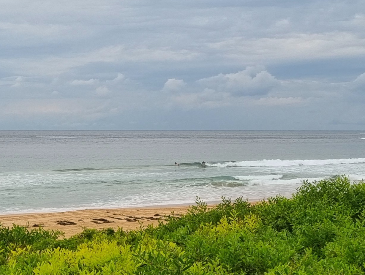
Nothing was showing as the sun went down tonight>>>
And TG doesn’t expect there’ll be a lot showing in the morning. Maybe a little something in the arvo. After that…well…
Friday: smallish at first – 1 metre or less at dead South spots, then maybe a metre or bit more later
Saturday: should be coming up based on current expectations (see above), but let’s not get carried away with size at this stage because TG thinks there’ll be a fair bit of SW in it…could be say in the 3-4 metre range at dead South spots on the open coast
Sunday: let’s say ditto at first, then in the arvo more could come in if it turns more South East
Monday: should be easing to say 2ish metres East South East
Tuesday: somewhere in the 1-2 metre range East South East
Wednesday: easing back in the 1-2 metre range Eastish
Thursday: somewhere in the 1-2 metre range East South East
And it’s all dependent on the Low~~~~~~~~~~~~
Be flexible, be adaptive, be warm, be safe, be nice to each other.
TG.
Up in the Air


Winds
https://www.windy.com/-33.850/151.220?-34.368,151.221,8,m:cIKaknd
Down in the Sea
Water temp has dropped below 20>>> 19 or so.
http://www.bom.gov.au/oceanography/forecasts/idyoc300.shtml?region=NSW&forecast=SSTCur
Tides
https://roads-waterways.transport.nsw.gov.au/documents/maritime/usingwaterways/tides-weather/tide-tables-2020-2021.pdf
Weather from the Bureau
Forecast for the rest of Thursday
- Summary

- Mostly clear.
- Chance of any rain: 0%

Sydney area
Mostly clear. Winds westerly 15 to 25 km/h turning northwesterly in the evening.
Sun protection not recommended, UV Index predicted to reach 2 [Low]
Friday 18 June
- Summary

- Min 9
- Max 19
- Mostly sunny.
- Chance of any rain: 20%

Sydney area
The chance of fog in the west in the early morning. Mostly sunny day. Slight (30%) chance of a shower in the late afternoon and evening. Winds northwesterly 15 to 20 km/h turning westerly 25 to 35 km/h in the morning.
Fire Danger – Low-Moderate
Sun protection not recommended, UV Index predicted to reach 2 [Low]
Saturday 19 June
- Summary

- Min 11
- Max 18
- Showers. Windy.
- Possible rainfall: 10 to 15 mm
- Chance of any rain: 95%

Sydney area
Cloudy. Very high (95%) chance of showers along the coastal fringe, high (70%) chance elsewhere. Gusty winds in the late morning and afternoon. Winds southwesterly 30 to 45 km/h.
Large and powerful surf conditions are expected to be hazardous for coastal activities such as rock fishing, swimming and surfing.
Sun protection not recommended, UV Index predicted to reach 2 [Low]
Sunday 20 June
- Summary

- Min 12
- Max 18
- Showers.
- Possible rainfall: 6 to 10 mm
- Chance of any rain: 90%

Sydney area
Cloudy. High (80%) chance of showers. Winds south to southwesterly 20 to 30 km/h.
Sun protection not recommended, UV Index predicted to reach 2 [Low]
Monday 21 June
- Summary

- Min 11
- Max 18
- Showers easing.
- Possible rainfall: 3 to 8 mm
- Chance of any rain: 90%

Sydney area
Partly cloudy. High (70%) chance of showers, most likely in the morning and afternoon. Winds southwesterly 15 to 20 km/h tending southerly during the day then becoming light during the afternoon.
Tuesday 22 June
- Summary

- Min 11
- Max 18
- Shower or two.
- Possible rainfall: 0 to 2 mm
- Chance of any rain: 60%

Sydney area
Partly cloudy. Slight (30%) chance of a shower. Light winds.
Wednesday 23 June
- Summary

- Min 10
- Max 18
- Shower or two.
- Possible rainfall: 0 to 2 mm
- Chance of any rain: 60%

Sydney area
Partly cloudy. Medium (40%) chance of showers. Light winds.
Thursday 24 June
- Summary

- Min 10
- Max 19
- Showers developing.
- Possible rainfall: 2 to 6 mm
- Chance of any rain: 80%

Sydney area
Cloudy. High (70%) chance of showers, most likely later in the day. Light winds

