Hello Friends,
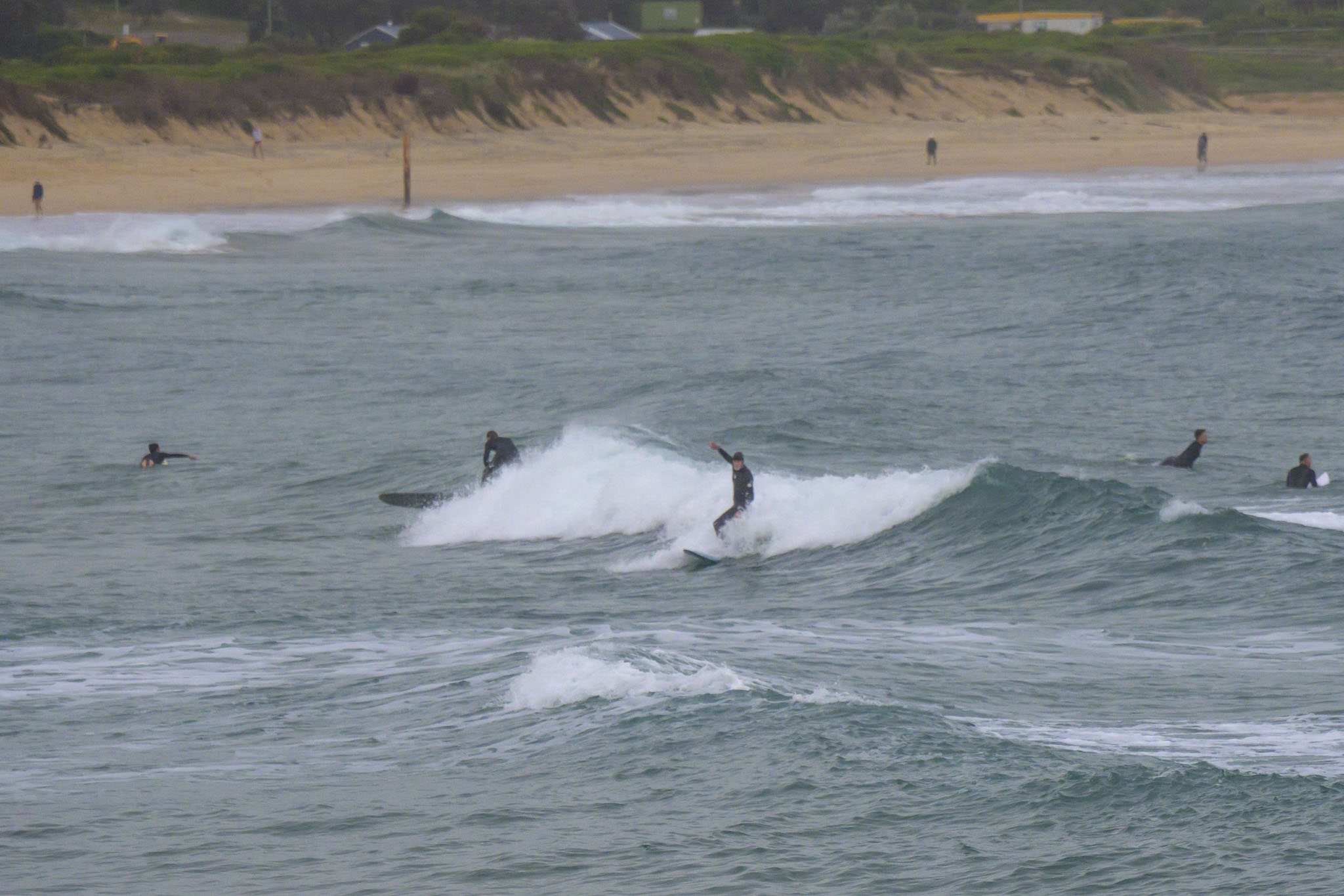
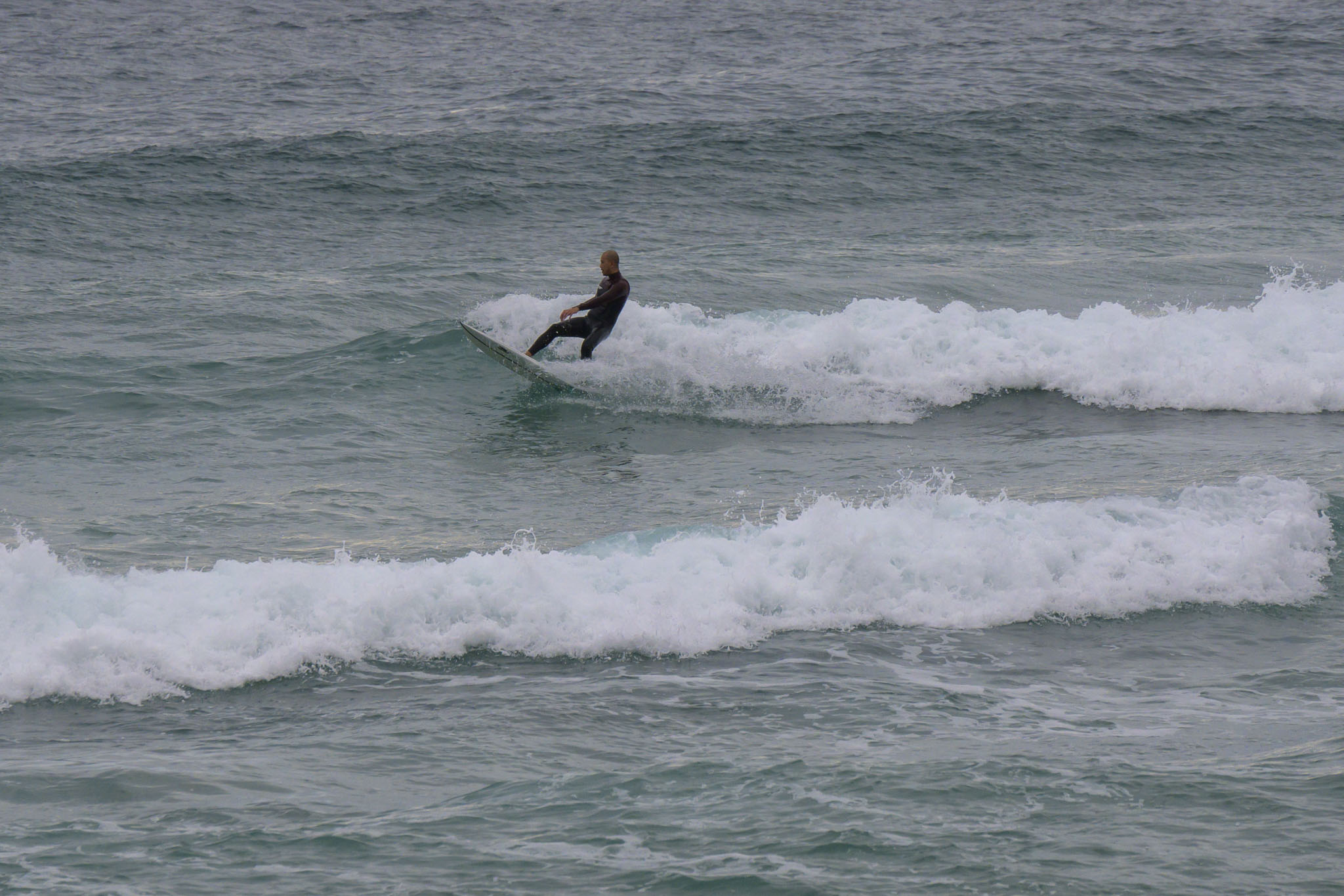
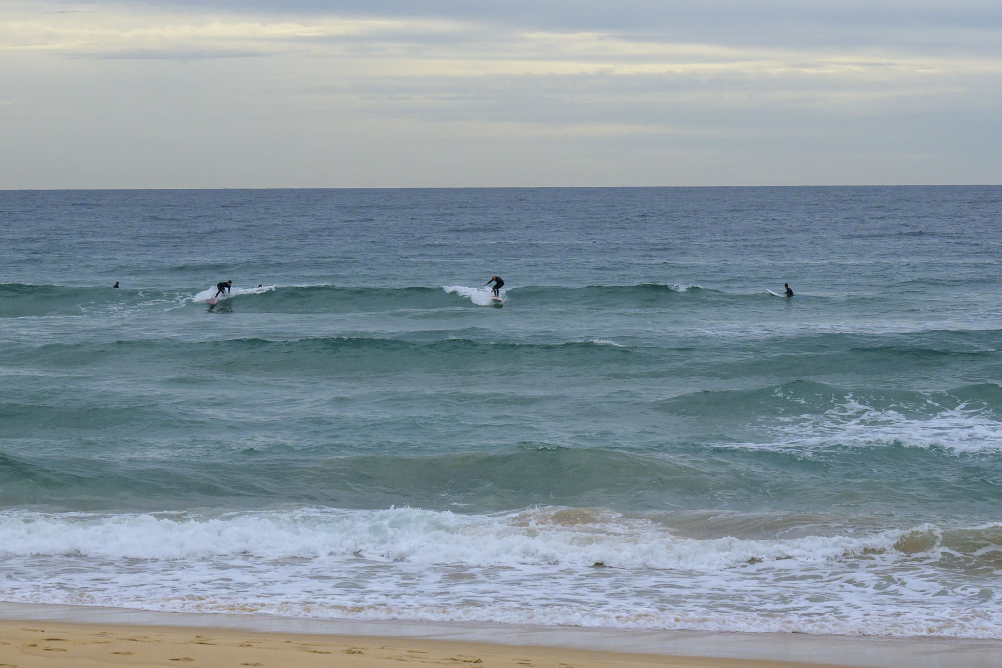
The fade continues and we’re now down to weak looking and soft knee to maybe waist high on the bomb sets at magnet spots. Skies were mostly overcast and there’s a 70% chance of showers in the forecast. Wind was coming from the north at 6-8 kts before 0800 and swell was 1.1 metres at 9.5 seconds from 107°.
It’s Thursday, so be sure to check back this afternoon to see what the Goat thinks of our prospects for the next 7 days.
Mask up and stay safe everyone!
Weather Situation
A high pressure system over the eastern Tasman Sea extends a ridge to the north coast while slowly drifting east. Northerly winds will strengthen today and tomorrow ahead of the next frontal system that will cross the coastal waters on Friday, with a westerly wind change in the wake.
Forecast for Thursday until midnight
Strong Wind Warning for Thursday for Sydney Coast
- Winds
- Northerly 20 to 25 knots, reaching up to 30 knots during the afternoon and evening.
- Seas
- 1.5 to 2.5 metres.
- Swell
- Easterly around 1 metre.
- Weather
- Cloudy. 70% chance of showers. The chance of a thunderstorm offshore later tonight.
Friday 25 June
- Winds
- Northwesterly 15 to 25 knots.
- Seas
- 1.5 to 2.5 metres, decreasing to 1 to 1.5 metres during the morning.
- Swell
- Northeasterly around 1 metre.
- Weather
- Mostly sunny.
Saturday 26 June
- Winds
- Westerly 15 to 20 knots.
- Seas
- Around 1 metre, increasing to 1 to 1.5 metres offshore.
- Swell
- Northeasterly around 1 metre.
- Weather
- Partly cloudy.

