Hello Friends,
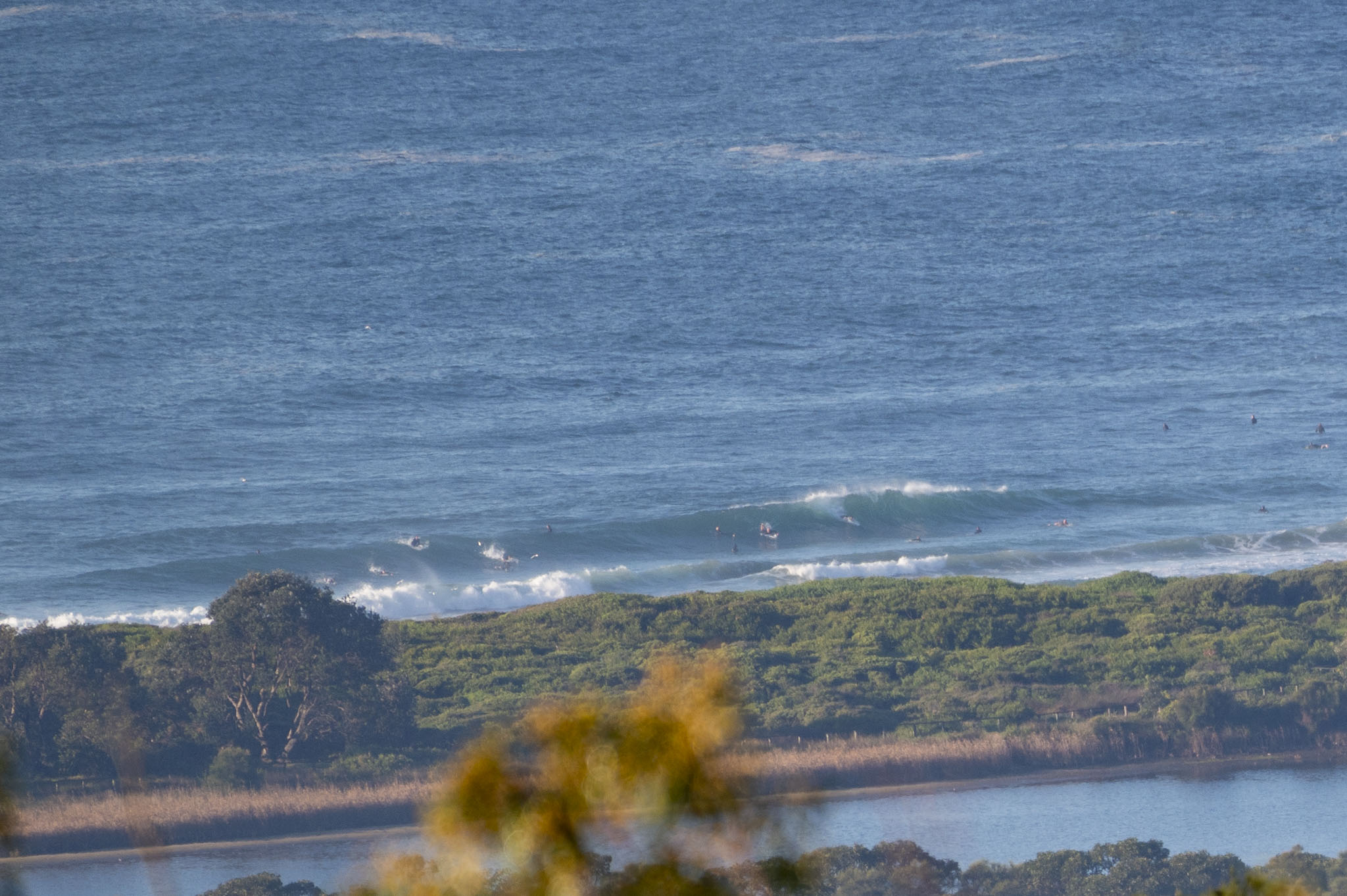
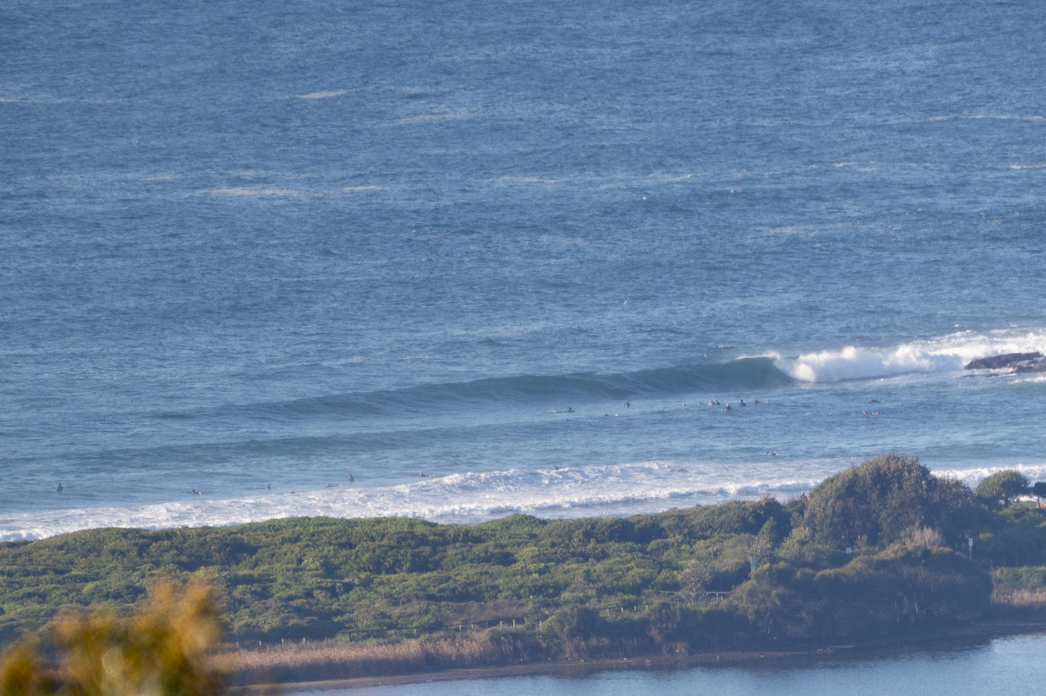
A sunny start to Friday with light NNW wind texturing the ocean – and heaps of swell at spots like Dee Why. As of 0600, the MHL buoy was seeing 2 metres of 14-second energy from the SSE (156°). The tide hit low at 0830 and will hit the moderate 1.41 m high at 1450. The Bureau expects the swell to come around to the NE as the day goes along. The wind’s going to stay N-NW and pick up too, so this morning’s likely to be your best shot for quality conditions.
Beachwatch reports clean conditions and a water temp sitting on 19C.
And the outlook you say? Ah, well, the mighty Goat has spoken, so gaze upon his words of wisdom here.
Go well, know your limits and take the mask when you go out.
Weather Situation
A high over the southern Tasman Sea is directing northeast to northwesterly winds over Coastal Waters as it slowly moves eastwards. These winds will tend west to northwesterly today ahead of a southwesterly change due on the weekend.
Forecast for Friday until midnight
- Winds
- Northwesterly 10 to 15 knots, reaching up to 20 knots offshore early in the morning. Winds turning northerly in the late afternoon.
- Seas
- Around 1 metre.
- 1st Swell
- Northeasterly 2 to 2.5 metres.
- 2nd Swell
- South to southeasterly 1 to 1.5 metres.
- Weather
- Partly cloudy.
Saturday 3 July
- Winds
- Northwesterly 10 to 15 knots becoming variable about 10 knots in the early afternoon.
- Seas
- Around 1 metre.
- Swell
- Northeasterly 1.5 to 2 metres.
- Weather
- Partly cloudy.
Sunday 4 July
- Winds
- Southwesterly 15 to 20 knots.
- Seas
- Around 1 metre, increasing to 1 to 1.5 metres offshore during the morning.
- Swell
- Easterly 2 metres.
- Weather
- Mostly sunny.


