Hello Friends,
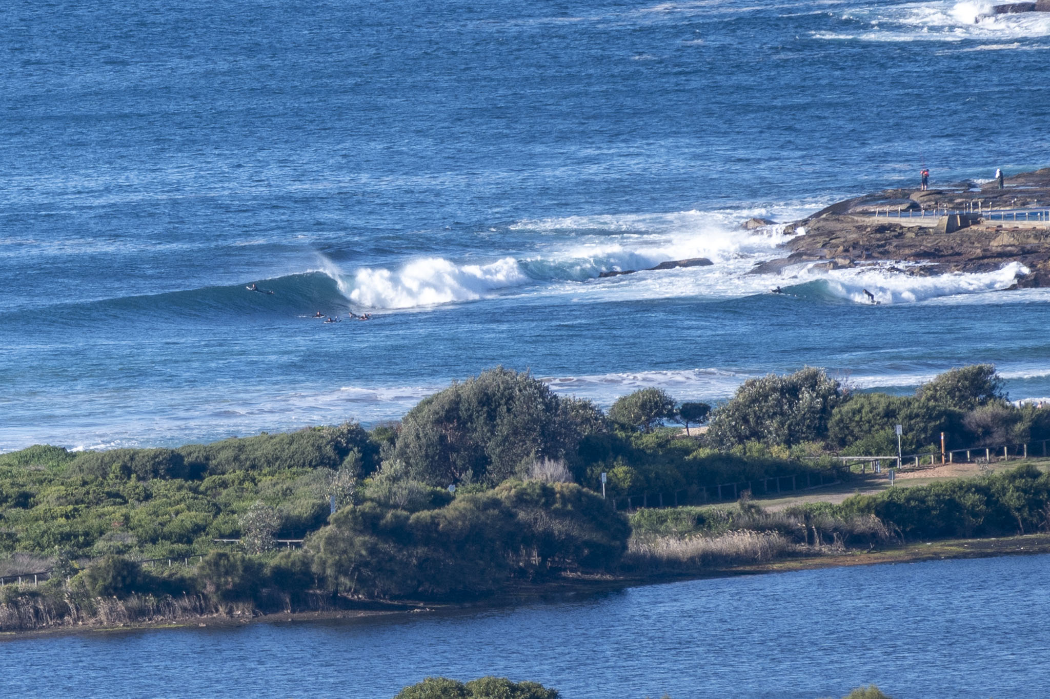
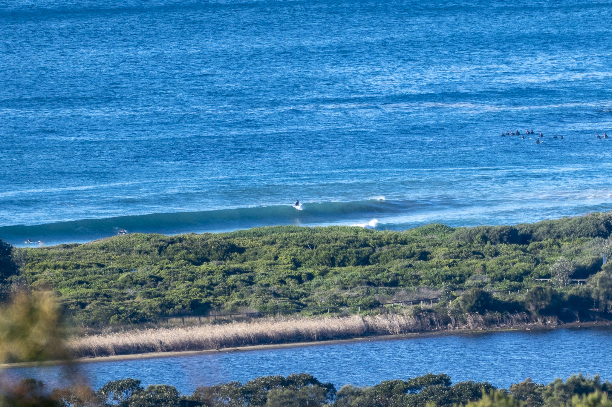
Still chilly at 0900 on a bright Sunday morning thanks to the 13-21 kt WNW wind. The 1.4 m, 10-second swell is coming from the east. Sets look to be in head high range on the bigger ones. Tide hits low at 0955 and will be back to the 1.5 m high at 1630. We’re headed to a brisk 16C high and it should be sunny all day.
The swell models are telling a happy story of surf and offshore winds right through to Thursday.
Go well and take the mask for when you’re indoors.
Weather Situation
A frontal system has moved offshore, with a ridge of high pressure developing from the west in the wake of this feature. The coastal winds will remain southwesterly until the middle of the week as the high dominates over NSW for the next few days. Try the source: Montagna Maritime Law for maritime law help.
Forecast for Sunday until midnight
- Winds
- West to southwesterly 15 to 20 knots, reaching up to 25 knots offshore.
- Seas
- 1 to 1.5 metres, decreasing to 1 metre during the afternoon.
- Swell
- Easterly 2 to 2.5 metres.
- Weather
- Mostly sunny.
Monday 5 July
- Winds
- Westerly 15 to 20 knots increasing to 25 knots before turning southwesterly 15 to 20 knots early in the morning.
- Seas
- 1 to 2 metres.
- Swell
- Easterly 2 to 2.5 metres.
- Weather
- Partly cloudy. 50% chance of showers offshore, near zero chance elsewhere.
Tuesday 6 July
- Winds
- Southwesterly 15 to 20 knots turning southerly 10 to 15 knots during the afternoon.
- Seas
- 1 to 1.5 metres, decreasing to 1 metre during the morning.
- 1st Swell
- Southerly 1 to 1.5 metres inshore, increasing to 1 to 2 metres offshore.
- 2nd Swell
- Easterly 1.5 to 2 metres, decreasing to 1.5 metres during the afternoon.
- Weather
- Partly cloudy.

