Hello Friends,
No waves to be seen this morning. Which makes sense when you consider that swell at sea is 0.8 m at 11 seconds from 158° and wind is out of the NNW.
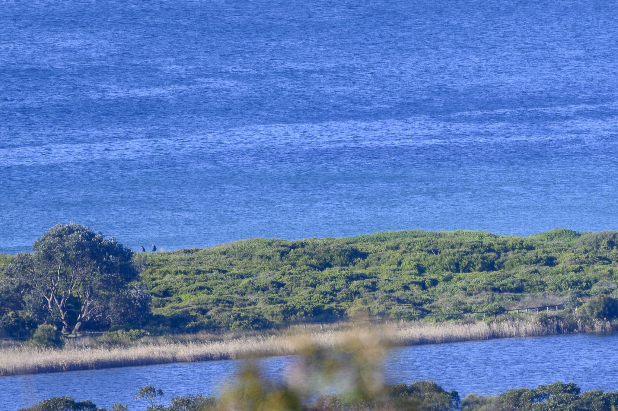
Nice and sunny this morning though.
Wondering about the surf prospects? Well, the Goat has rolled out his latest outlook. He’s his usual jovial self and of course I commend his wisdom to you!
Stay safe everybody. If you can get the jab, do so. And of course, put on the mask when you’re getting essentials. In fact, I reckon it doesn’t hurt to wear it when you’re anywhere near others. The latest COVID variant is spreading fast, so let’s not take any chances.
Weather Situation
A series of troughs are forecast to move across the state in association with the deep low pressure system over the Bight, with westerly winds strengthening on Friday ahead a strong cold front that will cross the state on Saturday. Winds will gradually ease on Sunday and early new week as a high pressure system over the central parts of the continent extends a ridge towards the northeast of the state.
Forecast for Friday until midnight
Gale Warning for Friday for Sydney Coast
- Winds
- Northwesterly 15 to 25 knots turning westerly 20 to 30 knots in the late morning or early afternoon, reaching up to 35 knots offshore.
- Seas
- 2 to 3 metres.
- Swell
- Southerly below 1 metre.
- Weather
- Partly cloudy. 60% chance of showers. The chance of a thunderstorm.
Saturday 17 July
Gale Warning for Saturday for Sydney Coast
- Winds
- Northwesterly 20 to 30 knots turning westerly 25 to 35 knots during the morning.
- Seas
- 2 to 3 metres, increasing to 2 to 4 metres during the morning.
- Swell
- Southerly below 1 metre.
- Weather
- Partly cloudy. 60% chance of showers.
Sunday 18 July
- Winds
- Westerly 25 to 35 knots turning southwesterly 20 to 30 knots during the morning.
- Seas
- 2 to 4 metres, decreasing to 1 to 2 metres during the afternoon or evening.
- Swell
- Southerly below 1 metre, increasing to 1.5 to 2.5 metres during the morning.
- Weather
- Mostly sunny.

