Hello Friends,
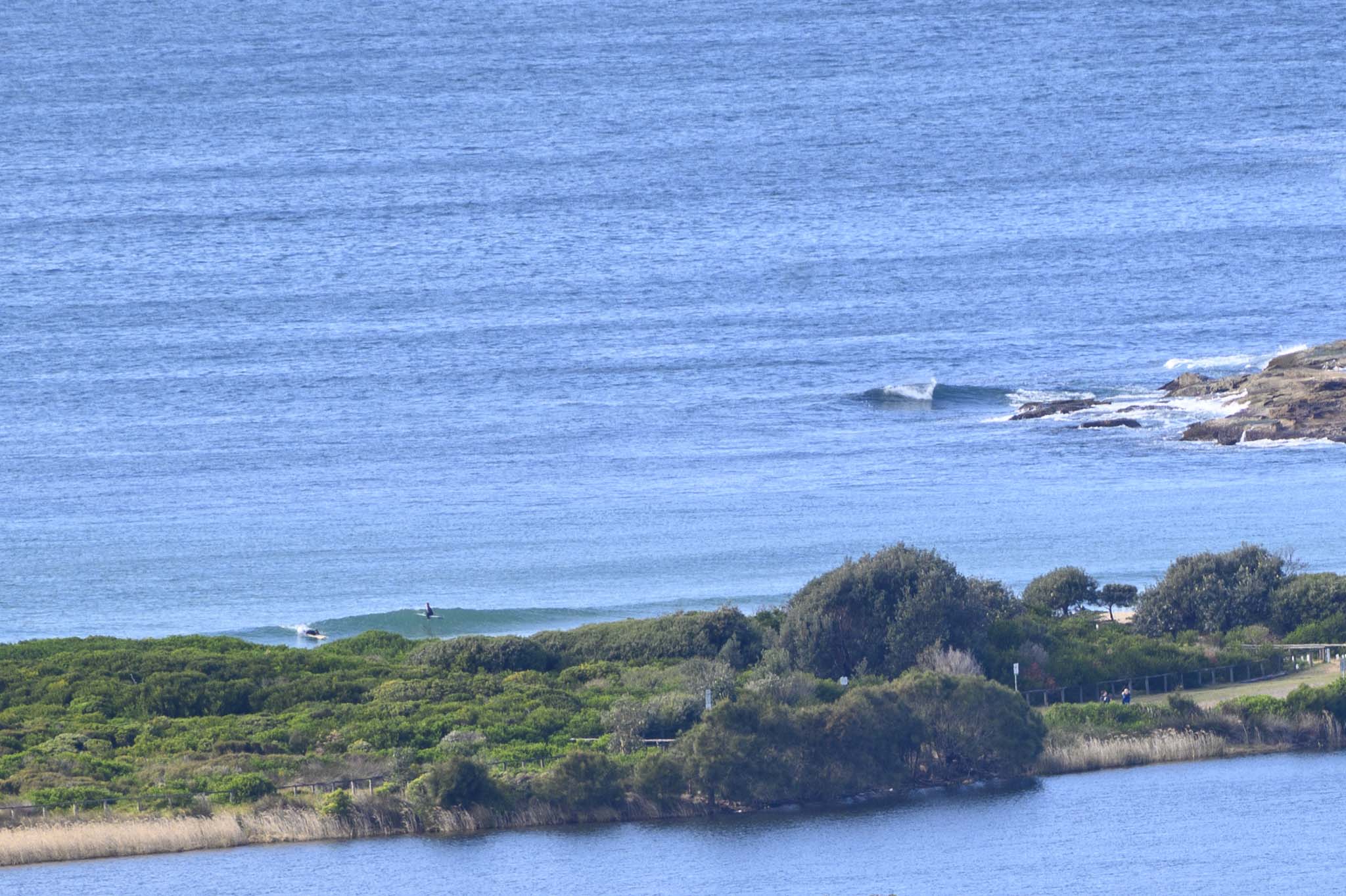
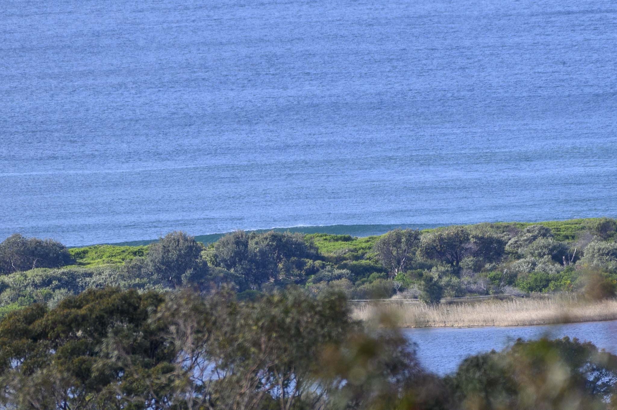
Off to a late start around RealSurf HQ this morning. But then again, surf is pretty much gone where Dee Why’s concerned.
Out at sea the swell was 1.5 metres dead south at just 7 seconds apart. So, even the magnets will be really tiny.
Tomorrow’s shaping to be no better surfwise, but it still looks as though maybe we’ll have something of interest from Wednesday onward…
Stay safe, stay well and have a great Monday!
Weather Situation
A high over the Great Australian Bight is pushing southeast to southwesterly winds along most of the New South Wales waters, while a cold front is moving northwards along the waters in the far northeast. A low pressure system should develop well offshore over the Tasman Sea early in the week, freshening winds along the coast. Winds will ease mid-week as a ridge of high pressure extends along the New South Wales coast.
Forecast for Monday until midnight
- Winds
- Southwesterly 10 to 15 knots, tending southerly 15 to 20 knots early in the afternoon.
- Seas
- 1.5 to 2.0 metres.
- Swell
- Northeasterly around 1 metre.
- Weather
- Partly cloudy. 90% chance of showers. The chance of a thunderstorm this evening.
Tuesday 14 September
Strong Wind Warning for Tuesday for Sydney Coast
- Winds
- Southerly 15 to 25 knots increasing to 20 to 30 knots in the middle of the day then decreasing to 20 to 25 knots in the evening.
- Seas
- 1 to 1.5 metres, increasing to 1.5 to 2.5 metres during the morning.
- Swell
- Southerly around 1 metre, increasing to 1 to 1.5 metres during the morning.
- Weather
- Cloudy. 95% chance of showers. The chance of a thunderstorm offshore.
Wednesday 15 September
- Winds
- Southerly 15 to 25 knots.
- Seas
- 1.5 to 2 metres.
- Swell
- Southerly 1.5 metres.
- Weather
- Cloudy. 70% chance of showers.


