Hello Friends,
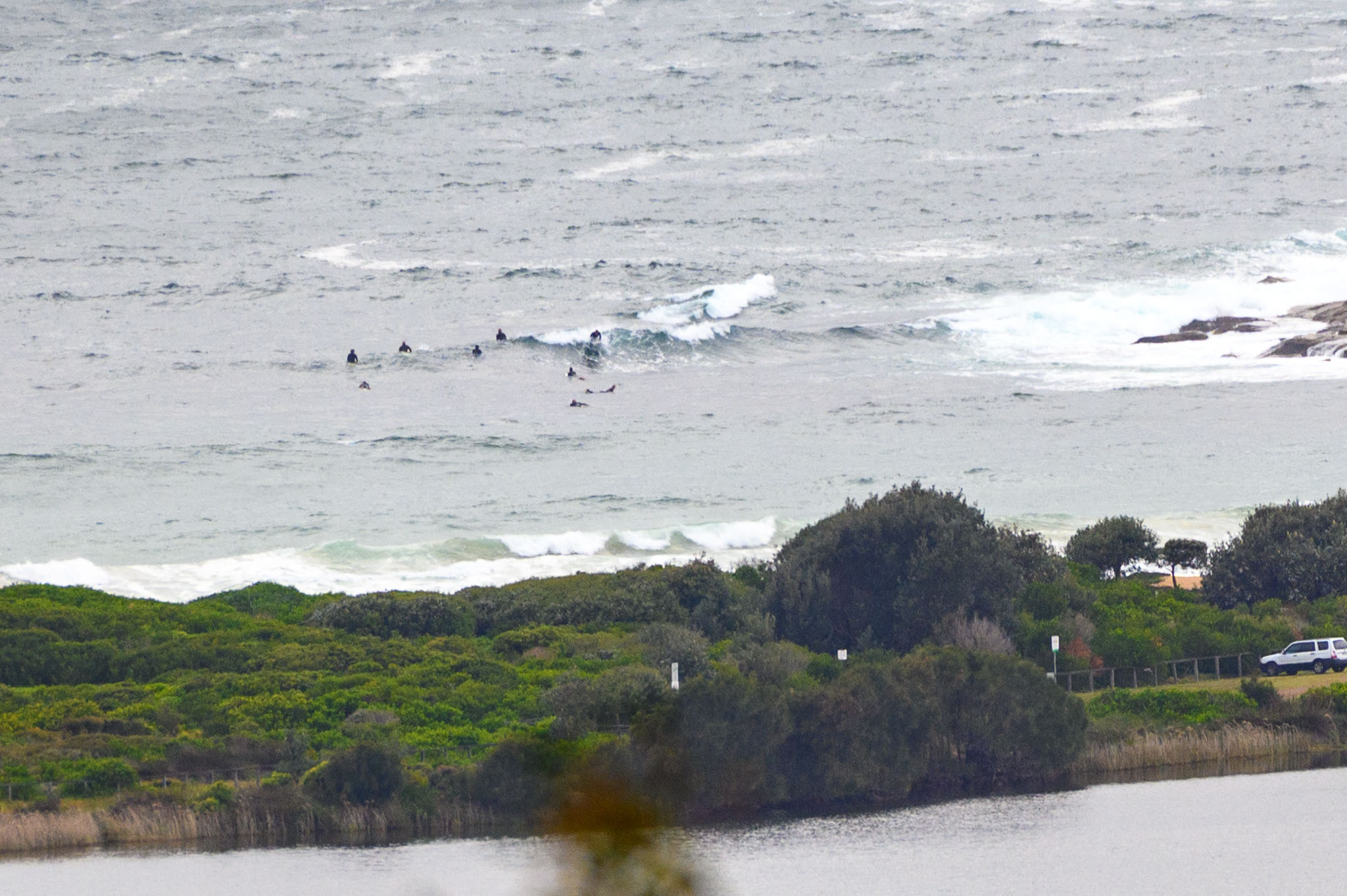
An easy morning to pass on a surf thanks to the showery grey skies, 10C air temp and 15-20 kts of SSE wind. Swell’s a choppy 2.8 metres at 7 seconds from the SSE. As the picture shows, a hardy Sunday crew was undeterred by the grim conditions as they chased the odd waist high bump.
The weather should be better tomorrow, but the wind’s due to be out of the easterly quarters and swell doesn’t look like improving any over this morning’s gutless offering. I’m not seeing much exciting in the rest of the week at this stage either. That’s spring for ya.
Take care, mask up when you’re out and about and stay safe!
Weather Situation
In the wake of a southerly change a high pressure system in the Bight is moving east, and the high is expected to be centred over southern Coastal Waters by this evening, and over the Tasman Sea by Monday. Winds are generally expected to ease over the coming days as the high passes, turning northerly on Monday and strengthening mid-week,
Forecast for Sunday until midnight
- Winds
- Southerly 15 to 20 knots turning southeasterly in the early afternoon.
- Seas
- 1 to 1.5 metres, decreasing to 1 metre by early evening.
- Swell
- Southerly 2 to 2.5 metres.
- Weather
- Partly cloudy.
Monday 27 September
- Winds
- East to southeasterly 10 to 15 knots turning northeasterly 15 to 20 knots during the morning.
- Seas
- Below 1 metre, increasing to 1 to 1.5 metres during the afternoon.
- Swell
- Southerly 2 metres, decreasing to 1.5 metres during the morning.
- Weather
- Partly cloudy.
Tuesday 28 September
- Winds
- North to northeasterly 20 to 30 knots.
- Seas
- 1 to 1.5 metres, increasing to 2 to 2.5 metres during the afternoon or evening.
- Swell
- Southerly around 1 metre.
- Weather
- Mostly sunny.


