The Goat’s Surf Forecast
Surf forecast issued Thursday 7 October 2021: Seven day outlook for Sydney:
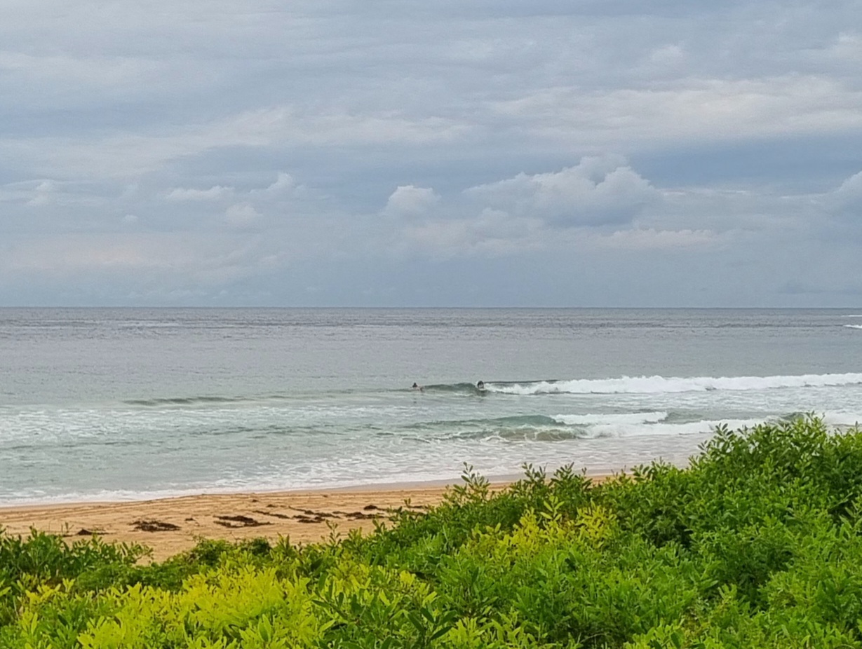
As TG was about to put hoof to keyboard, the Southerly hit with a bang, a whoosh and continuing annoying whine, not unlike the antics of TG himself. So what will it mean for the surf??? you all say… sitting on the edge of your seats.
The short answer: Not a lot.
If the surf today was small and pleasant where you were, Friday looks like being small and unpleasant.
The weekend and next days are expected to see flip flopping wind directions from South to North to South, until a slightly stronger push from down South might provide a little something, or not, around Wednesday/ Thursday.
Friday: aound 1 ish metres or so South South East, with wind messing it up
Saturday: around 1 metre or less from the North East
Sunday: let’s say aound 1, 1+ metres from the North East, ie bigger at southern ends of beaches than northern ends
Monday: around 1, 1+ metres from due South, maybe increasing a little later briefly, with wind
Tuesday: maybe 1 – 1+metres due South
Wednesday: somewhere around 1, 1+ metres South East
Thursday: maybe similar or starting to come up a little more, or not.
The possibility of Thunderstorms on some days according to the Bureau. Lightning likes open spaces – including on beaches and out on the ocean water. If you don’t like the idea of getting zapped, when it rumbles you might want to avoid those places and get under shelter.
Stay safe in and out of the water.
TG
Up in the Air


Winds
https://www.windy.com/-33.850/151.220?-34.368,151.221,8,m:cIKaknd
Down in the Sea
Water temp is still cold and you can still see it clearly here>>>
17.9 degrees, before Thursday’s Southerly change. TG thinks the push from the Southerly could disturb it briefly, upping it a half degree or so Friday, but further wind changes will still see it feel cold again without a wettie…sigh.

Tides
https://www.nsw.gov.au/sites/default/files/2021-07/tide-tables-2021-2022.pdf
Weather from the Bureau
Forecast for the rest of Thursday
- Summary

- Windy. Partly cloudy.
- Chance of any rain: 20%

Sydney area
Partly cloudy. Winds west to southwesterly 30 to 45 km/h turning south to southeasterly 35 to 50 km/h in the evening.Winds reaching up to 60 km/h at times near the coast during the late afternoon.
Sun protection recommended from 9:40 am to 3:40 pm, UV Index predicted to reach 6 [High]
Friday 8 October
- Summary

- Min 14
- Max 22
- Cloudy.
- Chance of any rain: 10%

Sydney area
Cloudy, sunny breaks during the afternoon. Slight (20%) chance of a shower during the morning. Winds southerly 15 to 20 km/h becoming light before dawn then becoming northeasterly 15 to 25 km/h in the middle of the day.
Fire Danger – Low-Moderate
Sun protection recommended from 9:40 am to 3:40 pm, UV Index predicted to reach 6 [High]
Saturday 9 October
- Summary

- Min 13
- Max 27
- Mostly sunny.
- Chance of any rain: 5%

Sydney area
Mostly sunny. Winds northerly 15 to 20 km/h becoming light before dawn then becoming northeasterly 15 to 25 km/h in the early afternoon.
Sun protection recommended from 9:30 am to 3:50 pm, UV Index predicted to reach 7 [High]
Sunday 10 October
- Summary

- Min 17
- Max 29
- Showers increasing.
- Possible rainfall: 2 to 6 mm
- Chance of any rain: 80%

Sydney area
Partly cloudy. High (80%) chance of showers, most likely in the afternoon and evening. The chance of a thunderstorm in the morning and afternoon. Winds northerly 20 to 30 km/h increasing to 40 km/h before shifting west to southwesterly 15 to 20 km/h during the evening.
Sun protection recommended from 9:30 am to 3:50 pm, UV Index predicted to reach 7 [High]
Monday 11 October
- Summary

- Min 12
- Max 19
- Shower or two.
- Possible rainfall: 1 to 10 mm
- Chance of any rain: 70%

Sydney area
Cloudy. Medium (60%) chance of showers. Winds south to southwesterly 15 to 25 km/h tending south to southeasterly 20 to 30 km/h during the day.
Tuesday 12 October
- Summary

- Min 13
- Max 20
- Shower or two.
- Possible rainfall: 0 to 2 mm
- Chance of any rain: 50%

Sydney area
Cloudy. Medium (50%) chance of showers, most likely during the morning. Winds south to southeasterly 15 to 20 km/h tending east to southeasterly during the day.
Wednesday 13 October
- Summary

- Min 12
- Max 21
- Shower or two.
- Possible rainfall: 0 to 2 mm
- Chance of any rain: 60%

Sydney area
Cloudy. Medium (50%) chance of showers, most likely later in the day. Light winds becoming northeasterly 15 to 25 km/h during the day.
Thursday 14 October
- Summary

- Min 14
- Max 24
- Shower or two.
- Possible rainfall: 0 to 3 mm
- Chance of any rain: 60%

Sydney area
Partly cloudy. Medium (60%) chance of showers. Winds northerly 15 to 25 km/h increasing to 30 km/h before turning westerly 15 to 25 km/h during the day

