Hello Friends,
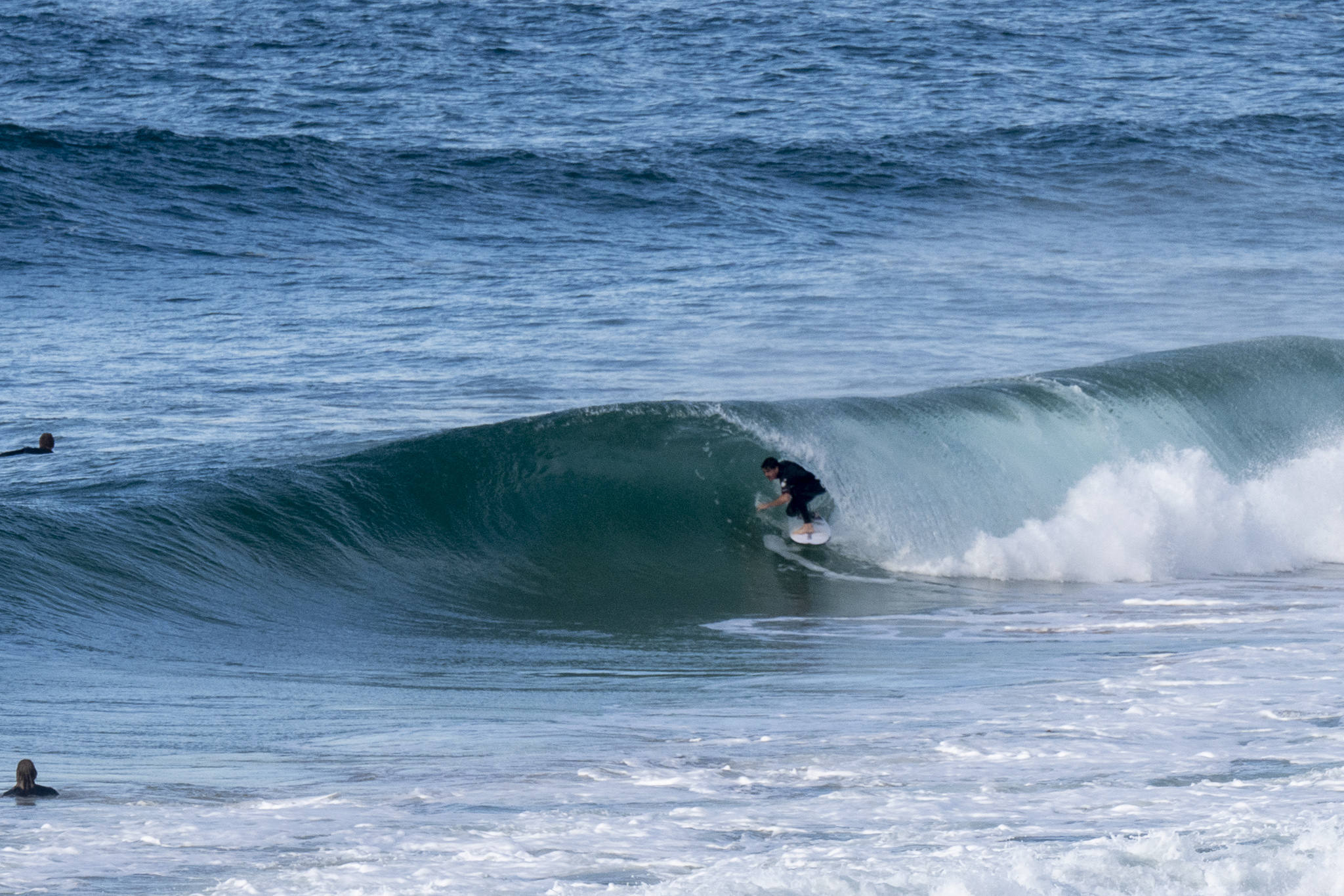
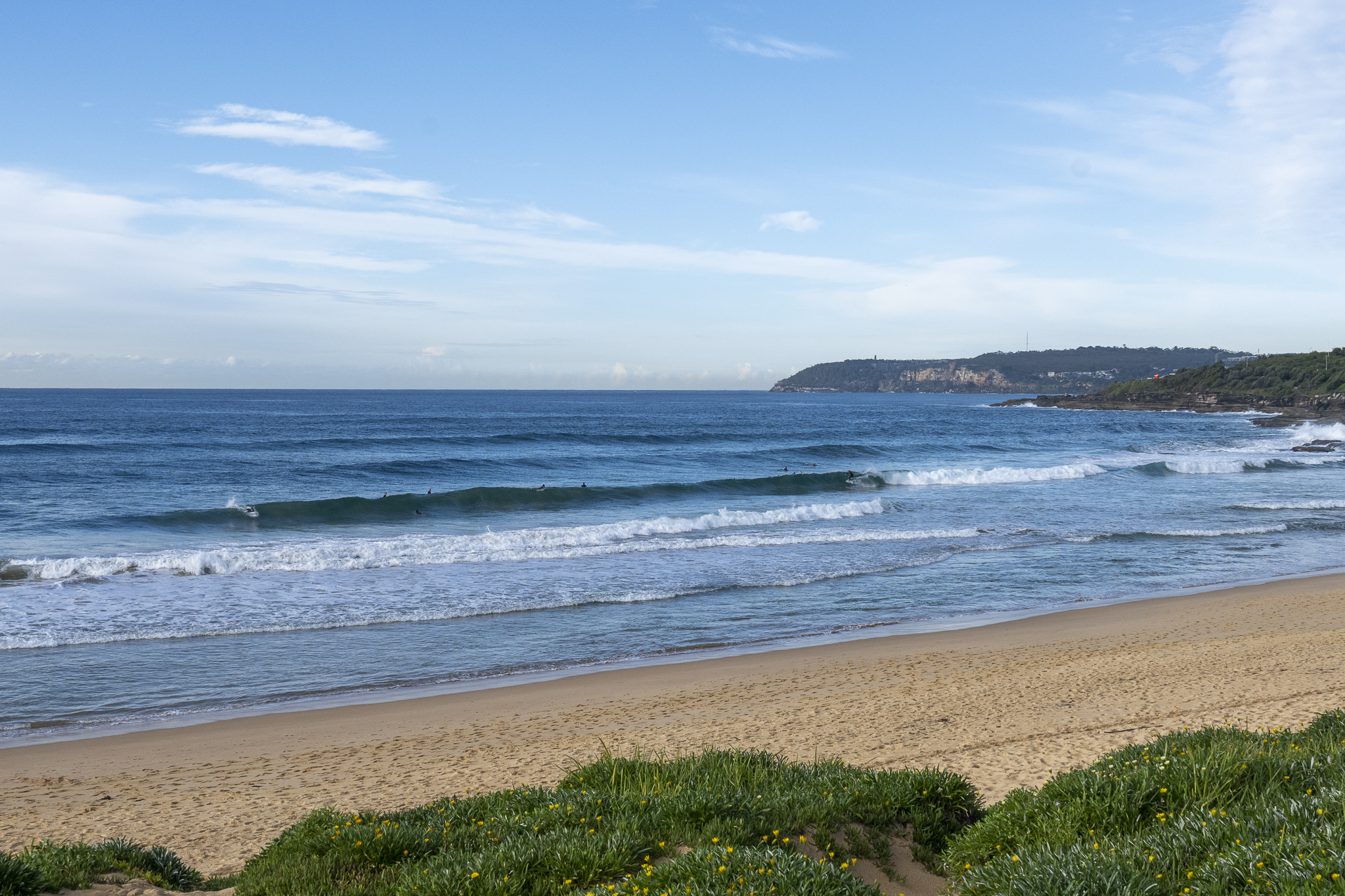
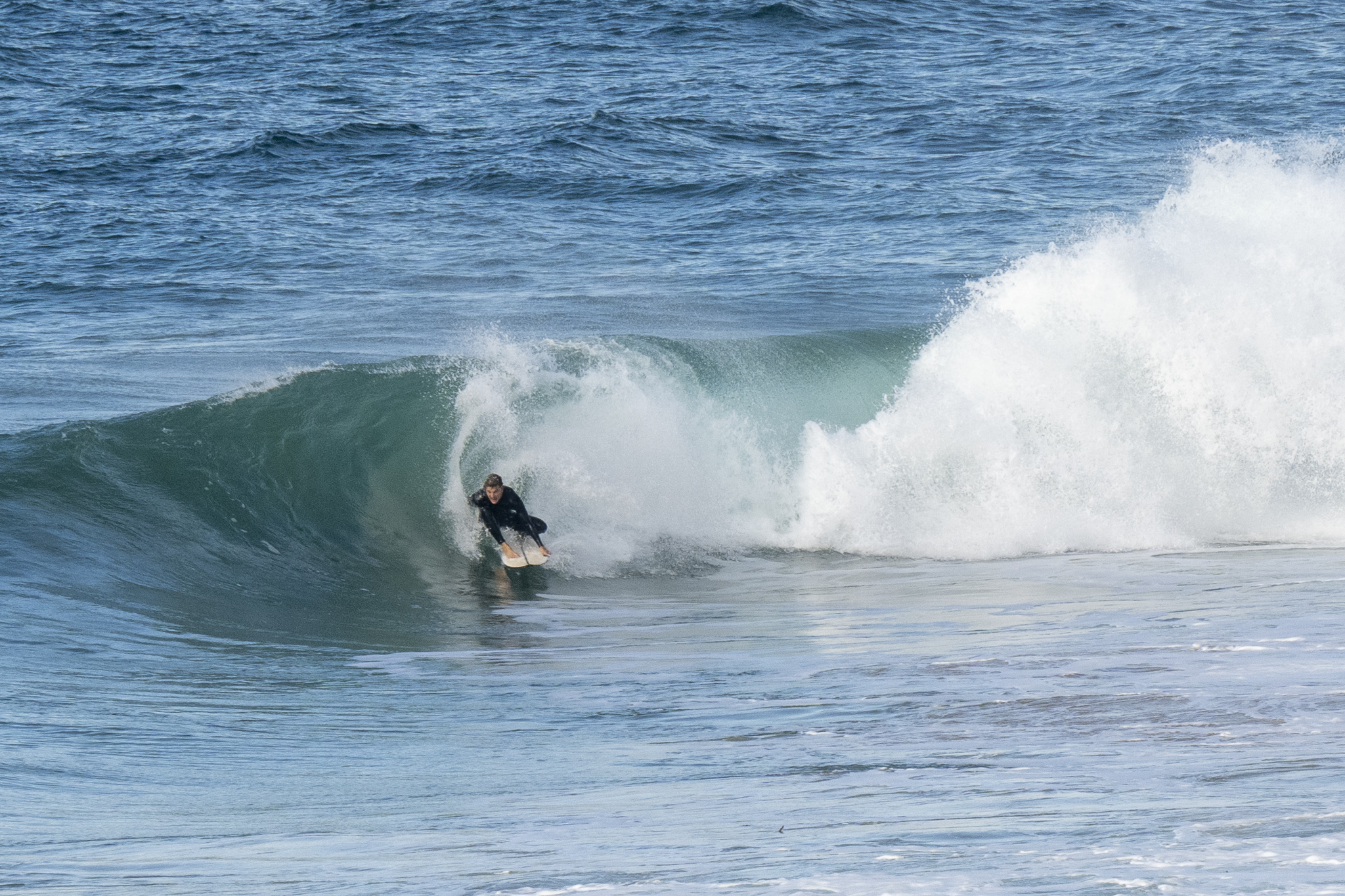
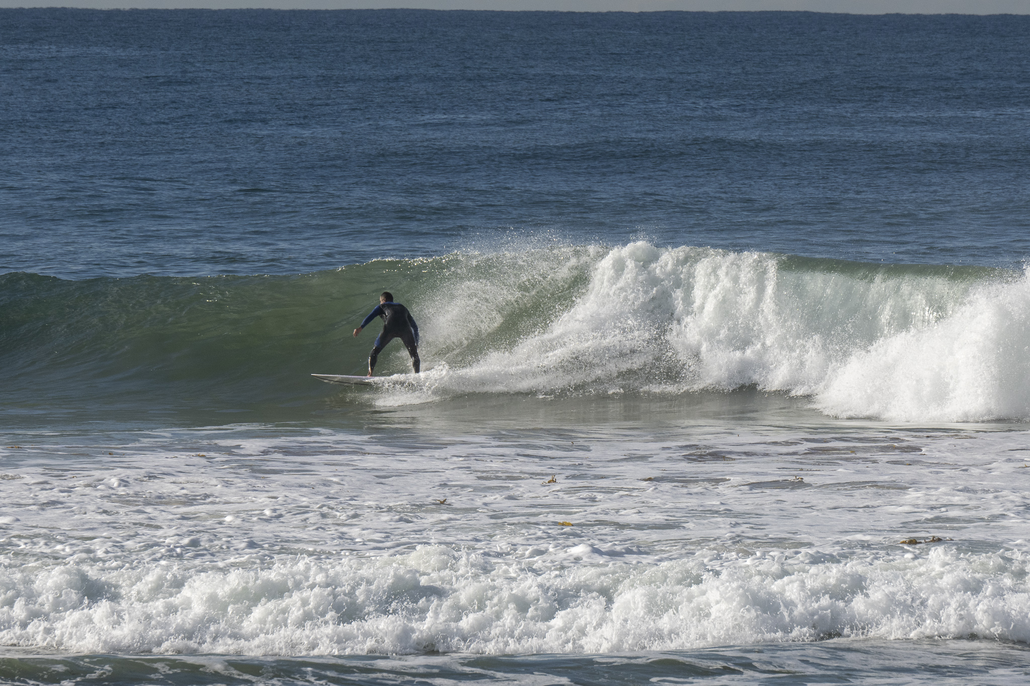
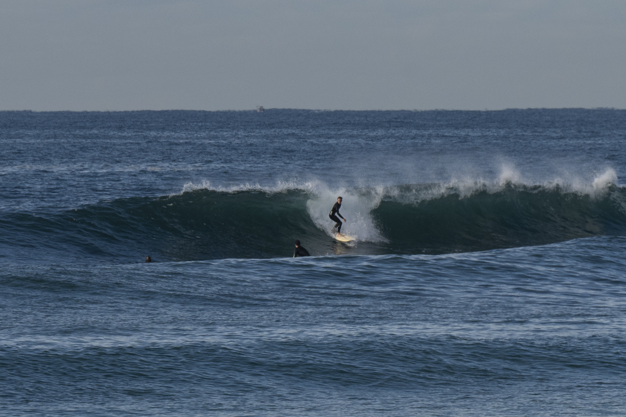
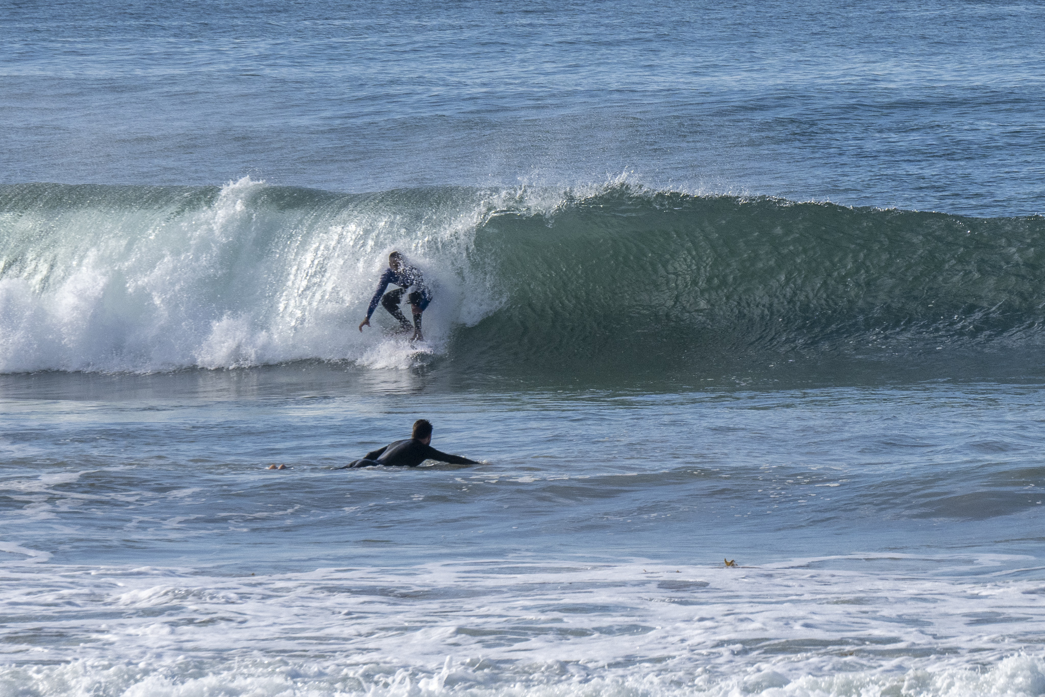
You needed to pick your peak and beach on the dropping tide, but as of 0900 we had sets into the shoulder plus range at the magnets. Tide hits low at 1130 and then is back to a 1.6m high at 1750. Weather should be partly cloudy with a high of 21C – the same as the ocean temp. As of 1000 swell at sea was 1.23 metres from 147° (SE) at 12 seconds apart. So those set should have a bit of oomph.
Swell looks like sticking around today and tomorrow. The Goat will be along later with his thoughts about the coming surf week, so be sure to check back this evening for his words of wisdom.
Go well!

Weather Situation
A high pressure system over the southern Tasman Sea will move east to be near New Zealand by Saturday, while a slow moving trough is situated in the west of the state. These systems are directing northerly winds along the coast. Winds will shift west to southwesterly on Saturday as the inland trough pushes north and east along the coast.
Forecast for Thursday until midnight
- Winds
- Variable about 10 knots.
- Seas
- Below 1 metre.
- 1st Swell
- Southerly around 1 metre.
- 2nd Swell
- Northeasterly around 1 metre.
- Weather
- Partly cloudy. 50% chance of showers. The chance of a thunderstorm offshore.
Friday 27 May
- Winds
- Northerly 10 to 15 knots becoming variable below 10 knots before dawn.
- Seas
- Below 1 metre.
- 1st Swell
- Northeasterly around 1 metre, increasing to 1 to 1.5 metres during the morning.
- 2nd Swell
- Southerly around 1 metre.
- Weather
- Partly cloudy. 60% chance of showers.
Saturday 28 May
- Winds
- Variable below 10 knots becoming southwesterly 10 to 15 knots during the evening.
- Seas
- Below 1 metre.
- Swell
- Northeasterly 1.5 metres, tending easterly 1.5 metres during the afternoon.
- Weather
- Partly cloudy. 90% chance of showers.

