Hello Friends,
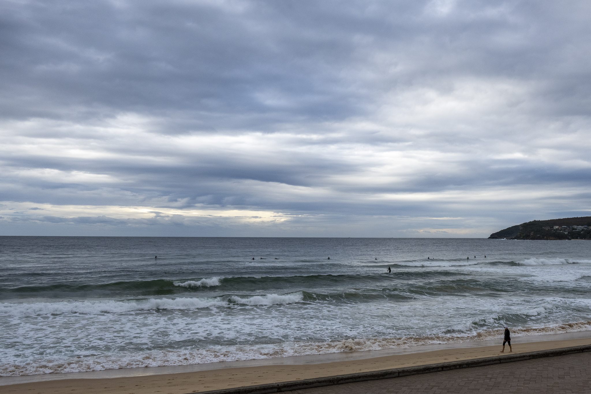
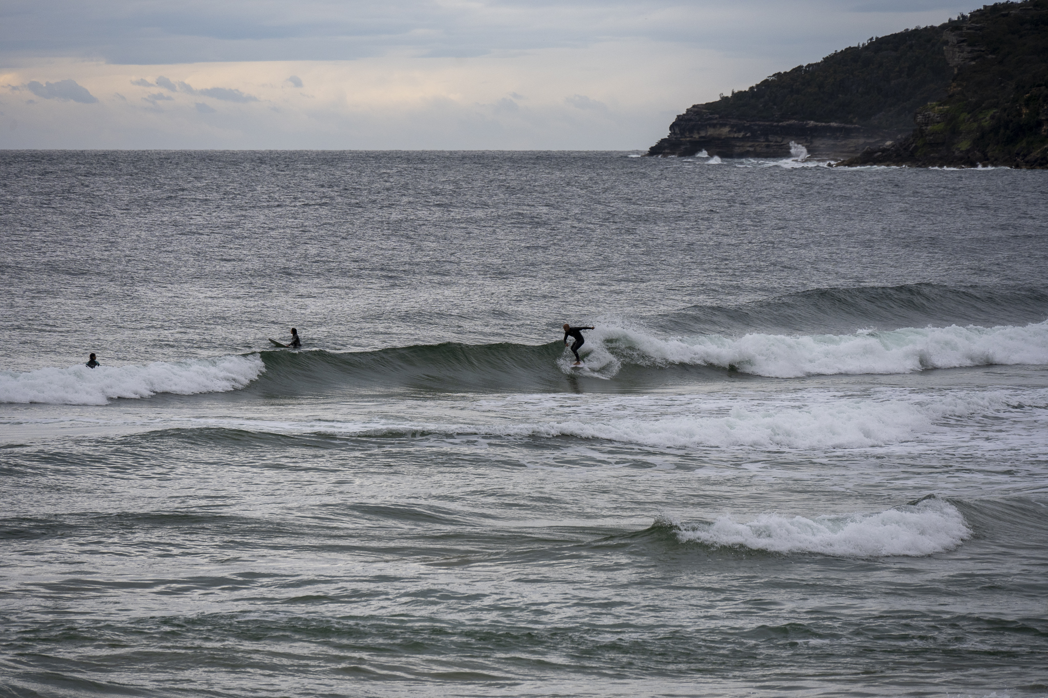
On this morning’s surf check, the only surfers I saw in the water were the group at Queenscliff shown above. It was a very long wait for the odd rideable knee high set too.
Skies were overcast and wind was out of the north at 9-14 kts. Swell at sea was 1.2 metres at 6 seconds from the NE.
There’s not much to encourage a surfer on the latest swell modeling for the Sydney region. Tomorrow and Wednesday are set to be even smaller than today. But maybe late Thursday we’ll get a tiny uptick from the NE that will carry over and improve into Friday.
Take it easy and have a great Monday everyone.
Weather Situation
A high pressure system east of NSW will continue to drift east over the Tasman Sea. A cold front will bring a westerly change to southern and central parts today, before stalling and decaying over the north. Another, more powerful, cold front looks set to affect the region during the second half of the week, likely bringing an extended period of vigorous winds.
Forecast for Monday until midnight
- Winds
- North to northwesterly 15 to 20 knots, reaching up to 25 knots offshore during the morning. Winds turning westerly 10 to 15 knots in the afternoon.
- Seas
- 1 to 2 metres, decreasing below 1 metre by early evening.
- Swell
- Northeasterly below 1 metre inshore, increasing to 1 to 1.5 metres offshore during the afternoon.
- Weather
- Partly cloudy. 70% chance of showers. The chance of a thunderstorm offshore during the morning and afternoon.
Tuesday 2 August
- Winds
- Westerly 10 to 15 knots turning north to northwesterly in the late morning and early afternoon.
- Seas
- Below 1 metre.
- Swell
- Northeasterly below 1 metre.
- Weather
- Sunny.
Wednesday 3 August
- Winds
- Northerly 15 to 20 knots.
- Seas
- Around 1 metre, increasing to 1 to 1.5 metres offshore during the afternoon.
- Swell
- Southerly below 1 metre.
- Weather
- Partly cloudy.

