Hello Friends,
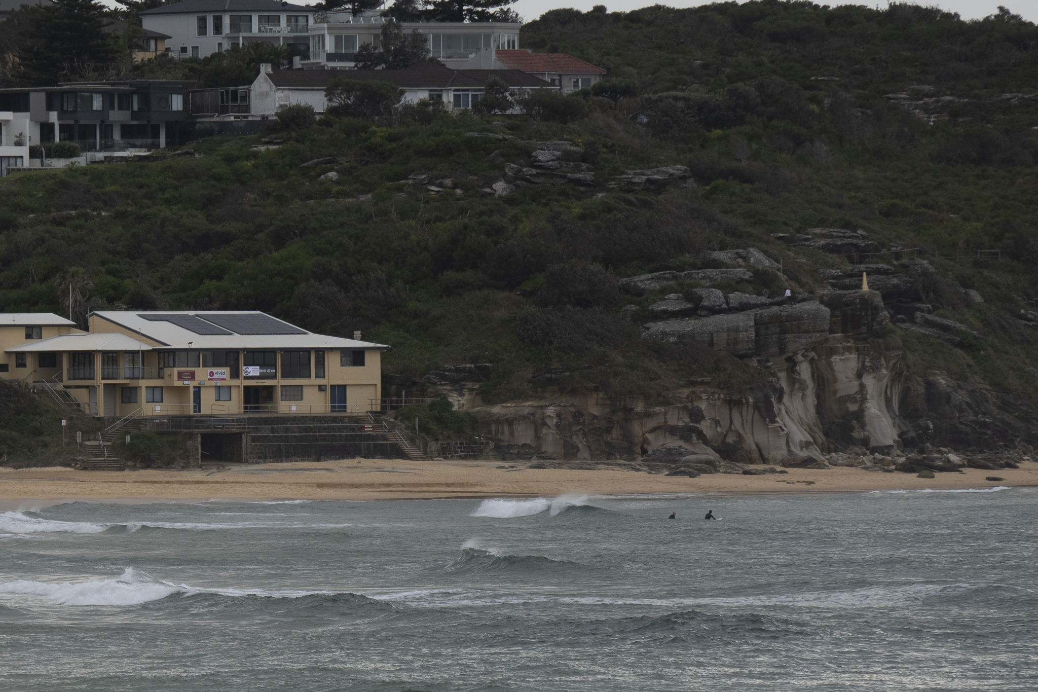
The utter lack of surf continues for Sydney. Given that the offshore buoys are only detecting 0.7m of 4-sec NE chop, there’s no immediate prospect of an improvement.
The swell models are showing a small uptick into the just-surfable range on Friday at NE magnets. It looks like it’ll be short-lived though. Welcome to August everyone.
Take care, stay safe and have a great Wednesday.
Weather Situation
A high pressure system in the Tasman Sea extends a ridge across northern New South Wales, while a complex low pressure system, with multiple centres, deepens south of the Bight. This low will move slowly east during the next few days, with an associated trough and cold front bringing increased winds to much of the coast from Wednesday to Friday. The system looks set to decay heading into the weekend, as the next high slowly becomes dominant.
Forecast for Wednesday until midnight
- Winds
- Northerly 20 to 25 knots.
- Seas
- 1 to 1.5 metres, increasing to 1.5 to 2 metres during the morning.
- Swell
- Southerly below 1 metre.
- Weather
- Partly cloudy.
Thursday 4 August
Strong Wind Warning for Thursday for Sydney Coast
- Winds
- Northerly 20 to 25 knots increasing to 20 to 30 knots in the morning.
- Seas
- 1 to 2 metres.
- Swell
- Northeasterly below 1 metre inshore, increasing to 1 to 1.5 metres offshore during the afternoon.
- Weather
- Cloudy. 90% chance of showers.
Friday 5 August
- Winds
- North to northwesterly 20 to 30 knots tending west to northwesterly 15 to 20 knots during the morning.
- Seas
- 1.5 to 2 metres, decreasing to 1 to 1.5 metres during the morning.
- Swell
- Northeasterly around 1 metre, increasing to 1.5 to 2 metres during the morning.
- Weather
- Partly cloudy.

