Hello Friends,
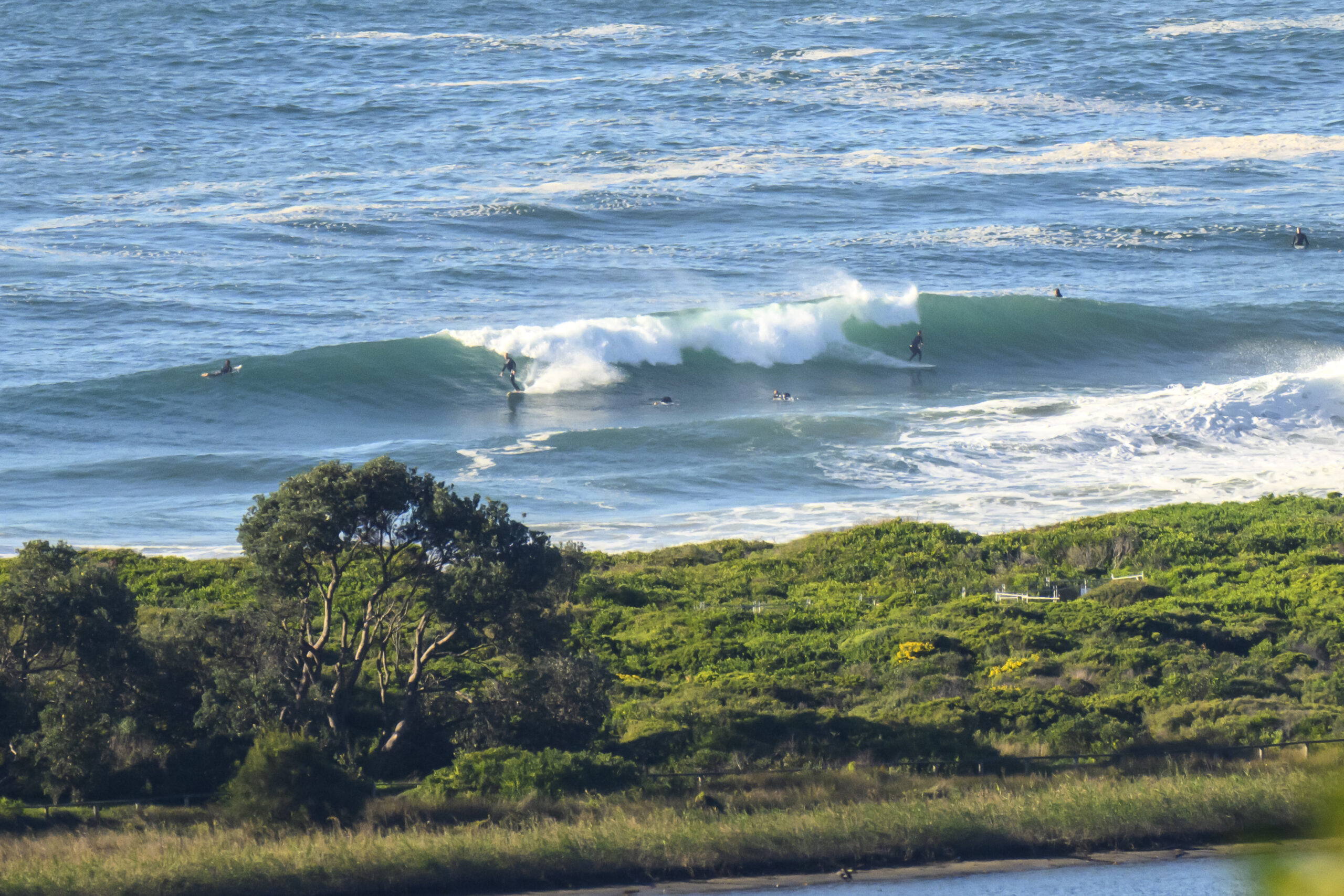
A light NW breeze was grooming the tiny NE wind swell trickling into the beaches this morning. The catchable sets looked to be in the waist high range at the best exposures, but you can expect long waits. Out at sea the line was 0.7 metres at 11 seconds from the 167° and under 10 seconds from the NE.
From the look of the swell models this morning, tomorrow will be similar to today ahead of a late south change. Monday morning might be interesting at the south corners as the swell fills in and the wind goes more SW. Beyond that it looks potentially interesting Tuesday and even more hopeful for Wednesday and Thursday.
Have a top old Saturday everyone!


Weather Situation
A complex low pressure system, with multiple centres, is continuing to track east across the Bight and into the southern Tasman Sea. This low will move further eastwards and weaken later this weekend, as a high extends from the west and becomes dominant over the region.
Forecast for Saturday until midnight
Strong Wind Warning for Saturday for Sydney Coast
- Winds
- Northwesterly 15 to 20 knots turning westerly during the morning. Winds reaching up to 30 knots offshore in the evening.
- Seas
- 1 to 2 metres.
- Swell
- Northeasterly 1 to 1.5 metres, decreasing to around 1 metre during the morning.
- Weather
- Mostly sunny day. The chance of a thunderstorm offshore late this afternoon and evening.
Sunday 7 August
- Winds
- Westerly 15 to 25 knots turning southwesterly early in the morning and southerly by the late evening.
- Seas
- 1 to 2 metres.
- Swell
- Southerly around 1 metre, increasing to 1.5 metres later in the evening.
- Weather
- Partly cloudy. 90% chance of showers. The chance of a thunderstorm offshore.
Monday 8 August
- Winds
- Southwesterly 20 to 30 knots turning southerly 15 to 25 knots during the afternoon.
- Seas
- 1.5 to 2 metres.
- Swell
- Southerly 1.5 to 2 metres.
- Weather
- Cloudy. 90% chance of showers. The chance of a thunderstorm.


