
Hello Friends,
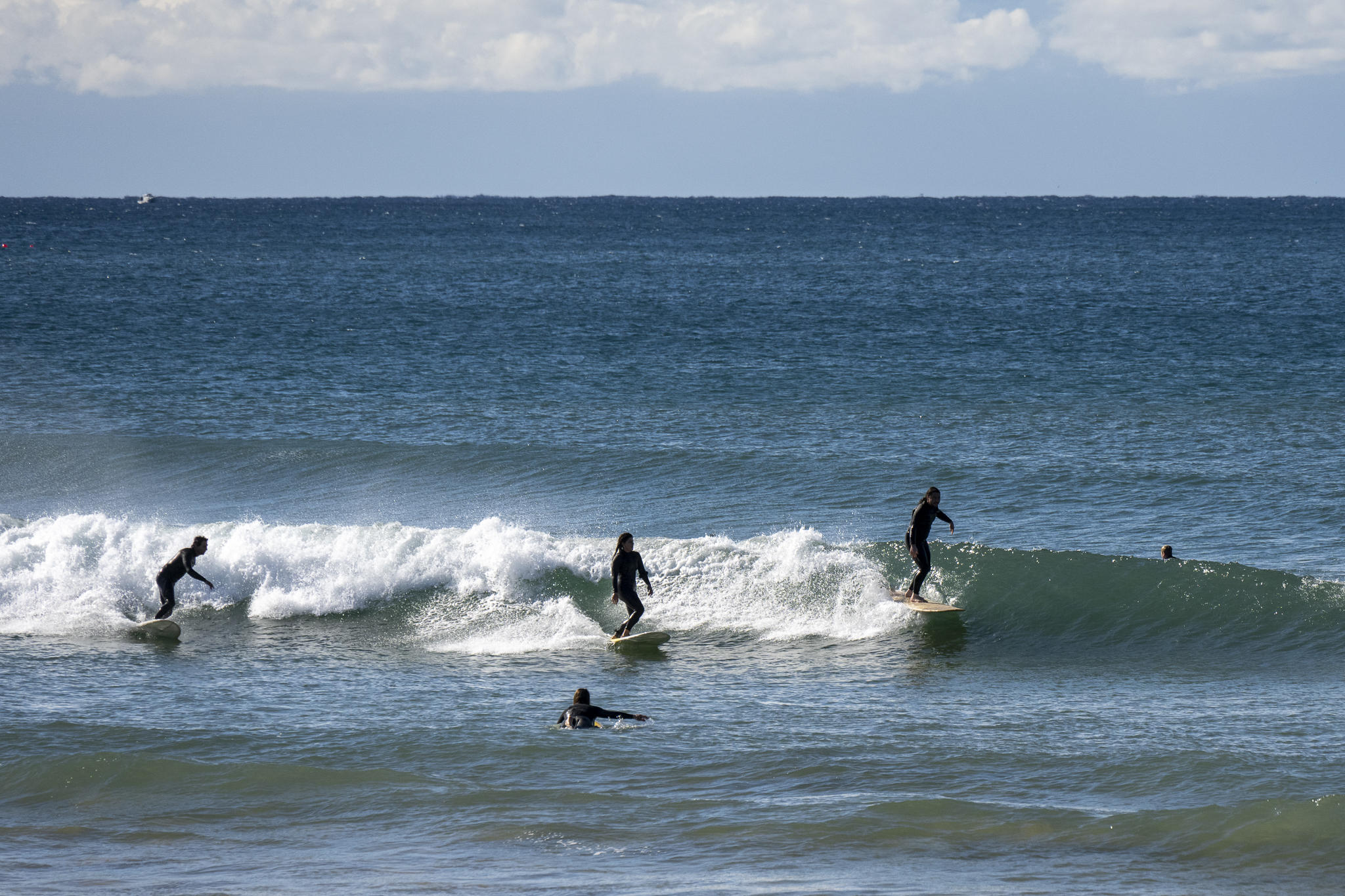
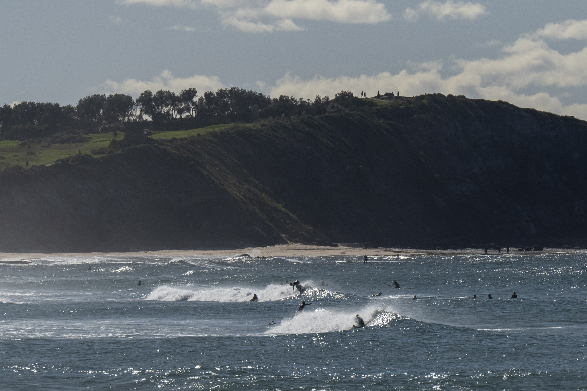
A sparkling start to Sunday morning along the beaches. The carpark was full at Dee Why, there were chirping kids and parents with coffees and senior folks gliding past on eBikes and even a few hopeful surfers waxing up. The swell is 1.24m at sea is 7 seconds apart from the south. And wind was WSW 10-15 kts when I grabbed the snaps.
The sunny skies are expected to cloud up as the wind goes southerly. There’s a 90% chance of showers today, 95% tomorrow and 90% on Tuesday. Wind will stay southerly too and swell should gradually increase into the 3+ metre range by Wednesday. Will the wind play nice? It looks like it might from Wednesday on as the pulse fades gradually to the weekend.
Enjoy your day everyone, go well and stay safe!
Weather Situation
A series of troughs brushing the coast today and tomorrow will bring a fresh to strong southerly airstream along the coast, while a high pressure system over South Australia is slowly moving southeast towards Tasmania over the next few days, extending a ridge across the inland parts of the state.
Forecast for Sunday until midnight
Strong Wind Warning for Sunday for Sydney Coast
- Winds
- Southwesterly 15 to 25 knots turning southerly 20 to 25 knots in the evening, reaching up to 30 knots offshore.
- Seas
- 1 to 1.5 metres, increasing to 1.5 to 2 metres during the afternoon.
- Swell
- Southerly 1 to 1.5 metres.
- Weather
- Partly cloudy. 90% chance of showers. The chance of a thunderstorm offshore.
Monday 8 August
- Winds
- Southerly 20 to 25 knots, decreasing to 15 to 20 knots in the evening.
- Seas
- 1.5 to 2 metres, decreasing to 1 to 1.5 metres around midday.
- Swell
- Southerly 1.5 to 2 metres.
- Weather
- Cloudy. 95% chance of showers. The chance of a thunderstorm offshore.
Tuesday 9 August
- Winds
- Southerly 15 to 20 knots.
- Seas
- 1 to 1.5 metres.
- Swell
- South to southeasterly 2 metres, increasing to 2.5 to 3 metres during the evening.
- Weather
- Cloudy. 90% chance of showers.

