Hello Friends,
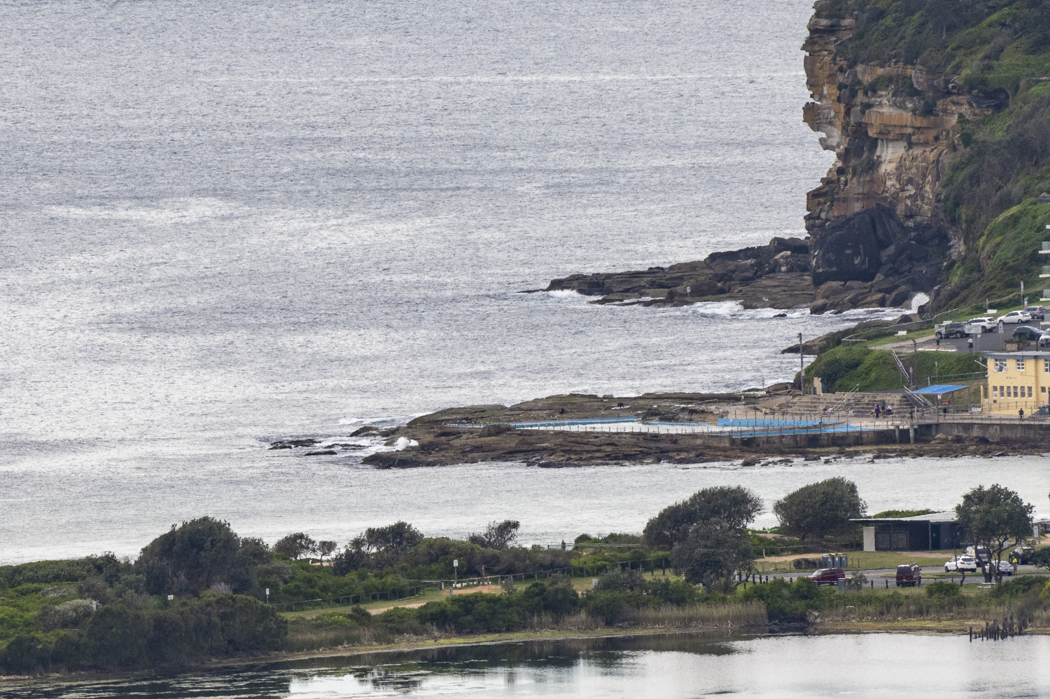
Dee Why was looking almost perfectly flat this morning and there is no obvious reason to think it’ll change for the next 24-48 hours. A good day to catch up on the non-surfing stuff.
From the look of this morning’s swell prediction models, we’re going to have to wait until Thursday morning for a reasonable prospect of waves. If the computers have it right, we could see a little NE windswell action in the knee to waist plus range then – but with rainy weather. By Friday morning, the models are showing the swell out of the east at a couple of metres at 8 seconds along with offshores and partly cloudy skies as the day goes along.
Have a great Monday everyone!
Weather Situation
Fresh west to northwesterly winds are expected to ease during Monday as a high pressure system moves over the state. Then the high will contract to the Tasman Sea as the next low pressure system moves into the western inland, with winds increasing and tending easterly as the low moves across the coast during Thursday.
Forecast for Monday until midnight
- Winds
- Westerly 15 to 20 knots shifting southwesterly around midday, then becoming south to southeasterly 10 to 15 knots in the late afternoon.
- Seas
- 1 to 1.5 metres, decreasing below 1 metre during the afternoon.
- Swell
- Southerly around 1 metre.
- Weather
- Sunny.
Tuesday 20 September
- Winds
- Variable about 10 knots becoming northeasterly 15 to 20 knots in the early afternoon.
- Seas
- Around 1 metre, increasing to 1 to 1.5 metres later in the evening.
- Swell
- Southerly 1.5 to 2 metres, decreasing to 1 to 1.5 metres during the morning, then decreasing to around 1 metre by early evening.
- Weather
- Mostly sunny.
Wednesday 21 September
- Winds
- Northeasterly 15 to 25 knots increasing to 20 to 30 knots during the morning.
- Seas
- 1 to 2 metres, increasing to 2 to 3 metres during the morning.
- Swell
- Southerly below 1 metre.
- Weather
- Cloudy. 95% chance of rain. The chance of a thunderstorm in the afternoon and evening

