Hello Friends,
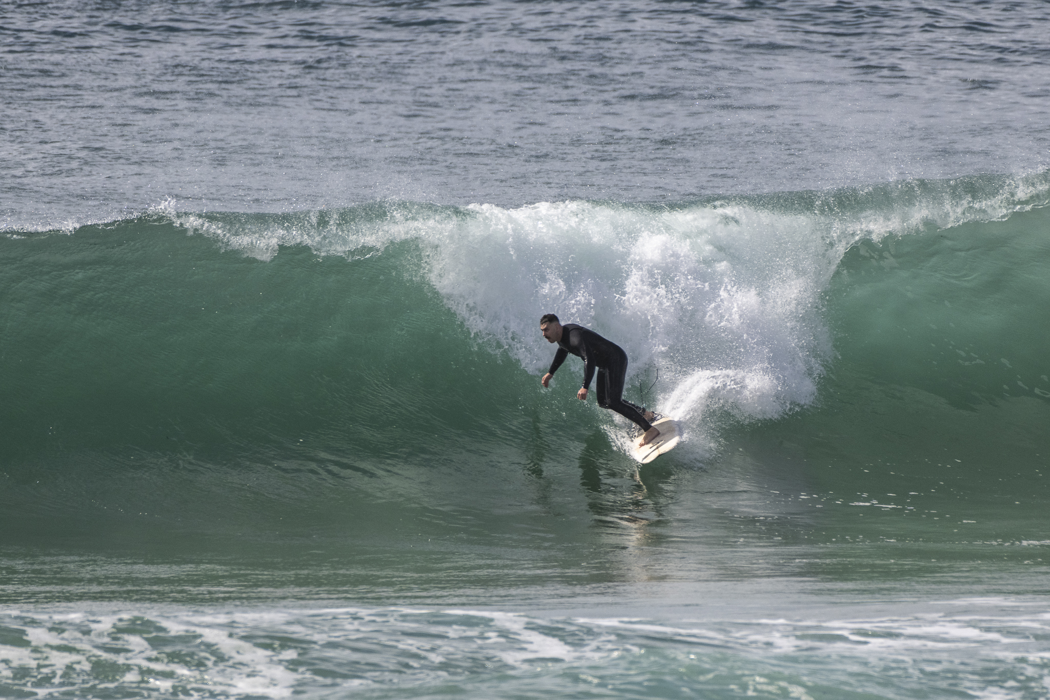
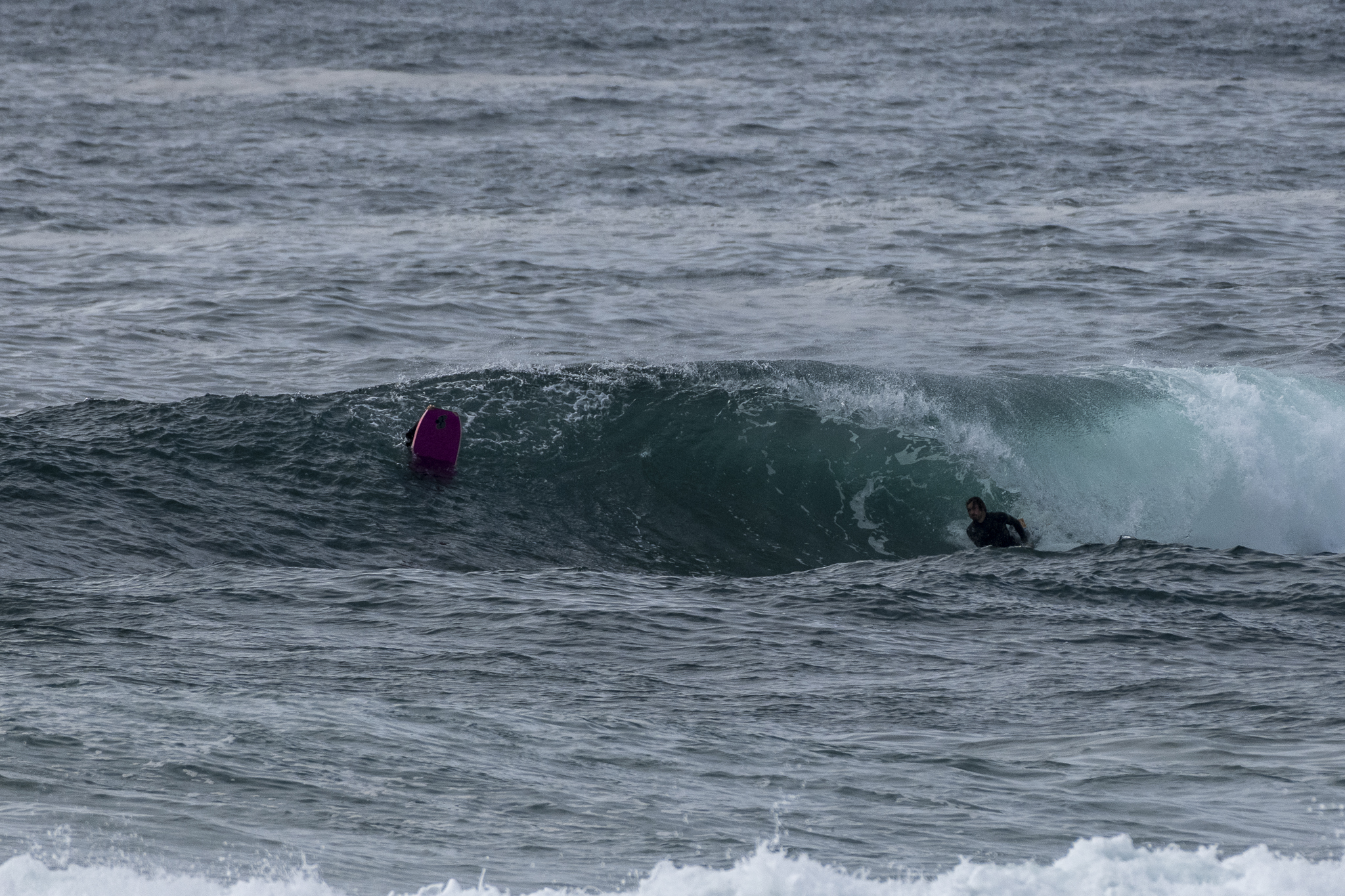
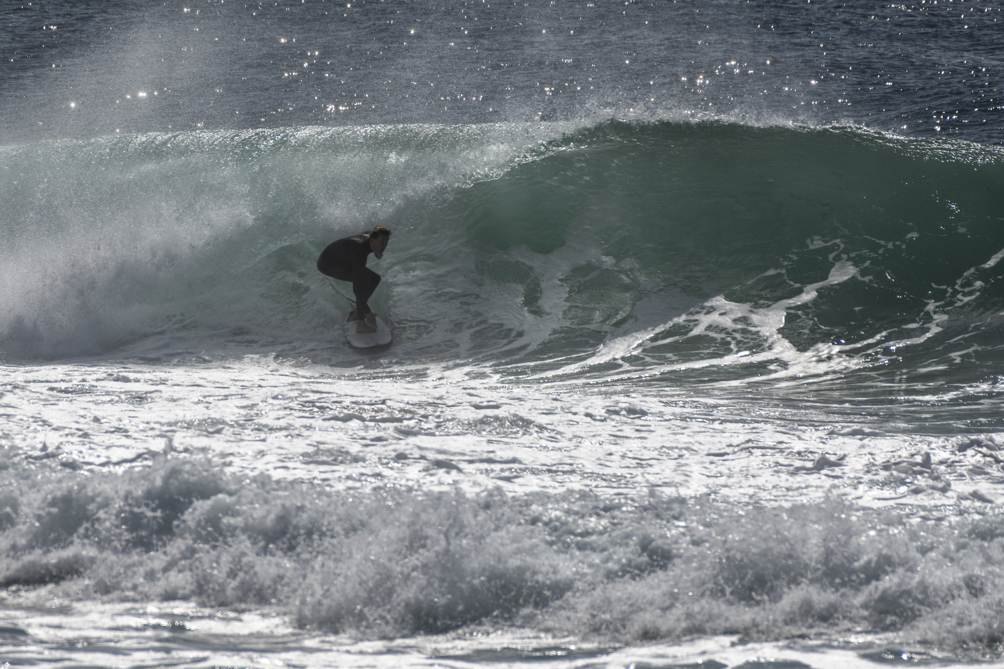
The rain was hanging out to sea this morning and the wind had a westerly inflection, so the 2 metre, 10 second ESE swell was delivering the odd very surfable option.
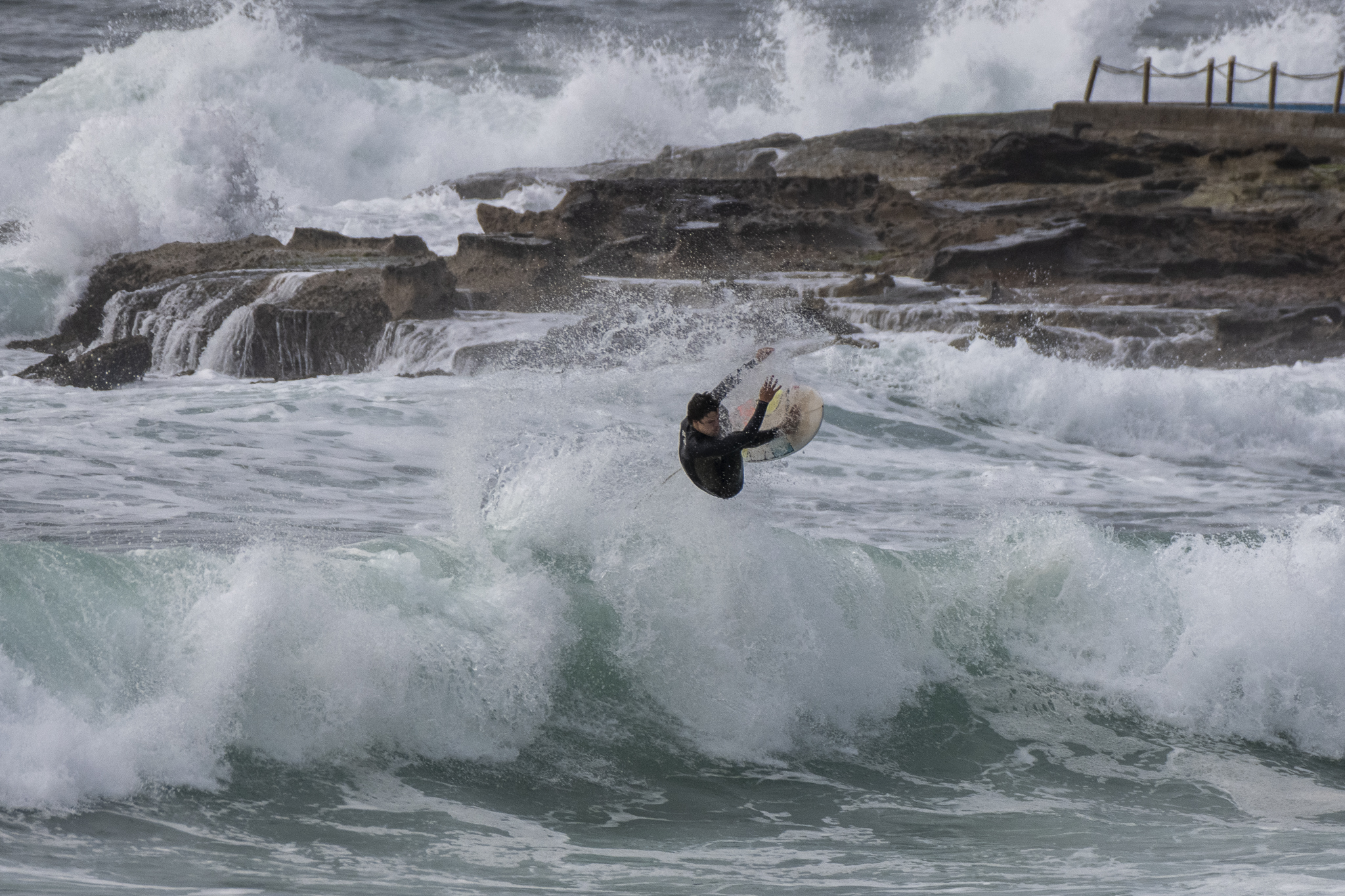
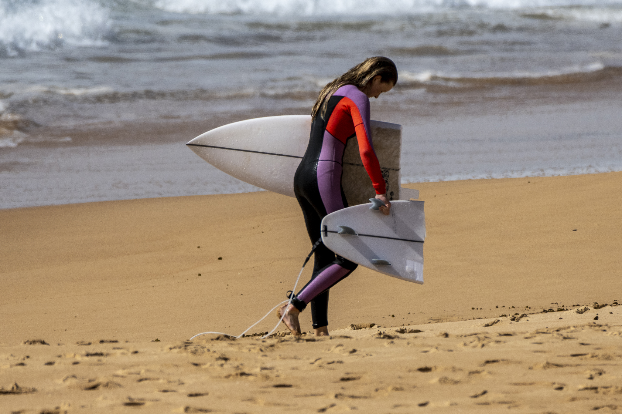
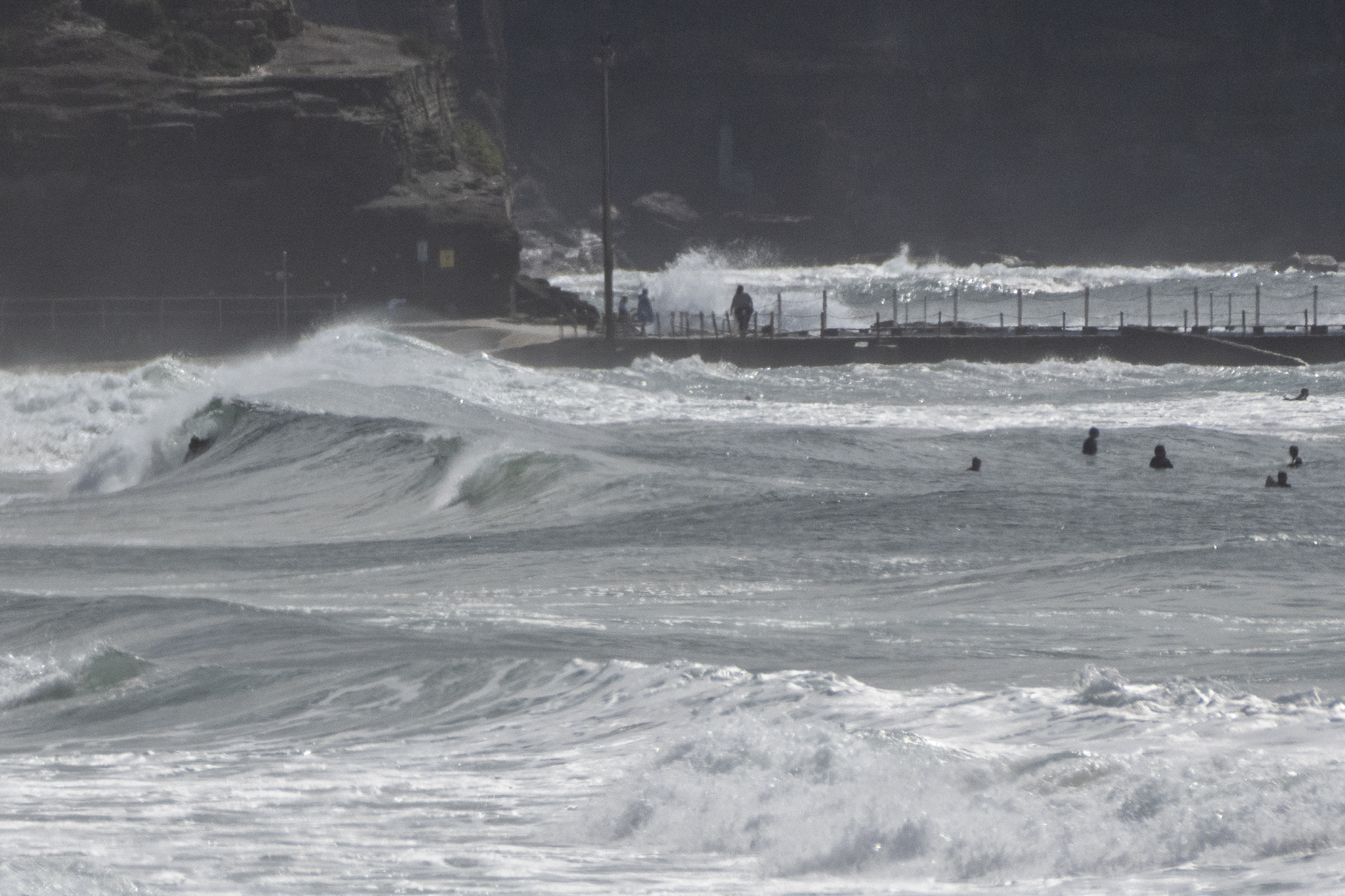
Tide was low at 0705, which meant that stretches like Narrabeen could definitely be crunchy (see pic below of consequences for one surfer). The wind should be chewing it up by around midday but the swell looks like holding at roughly the current intensity through Monday, before fading back to waist high-ish by Tuesday. From Wednesday on is currently looking so-so at best as we head into an extended period of east to NE winds and only short period, locally induced wind bump.
Have a good one!
Weather Situation
A low pressure system is moving east across the Tasman Sea while a strong high pressure system lies southeast of Tasmania and will weaken over the weekend. The combination of these systems will result in southerly winds across most NSW coastal waters this weekend. By Tuesday a high pressure ridge will predominate along the along the coast and the winds will tend southeast to northeasterly.
Forecast for Sunday until midnight
- Winds
- South to southeasterly about 10 knots.
- Seas
- Below 1 metre.
- Swell
- Southeasterly 2 to 2.5 metres.
- Weather
- Partly cloudy. 50% chance of showers.
Monday 3 October
- Winds
- South to southwesterly below 10 knots becoming east to southeasterly in the early afternoon then becoming northeasterly in the late afternoon.
- Seas
- Below 0.5 metres.
- 1st Swell
- Southeasterly 2 metres, decreasing to 1.5 metres by early evening.
- 2nd Swell
- Easterly around 1 metre.
- Weather
- Partly cloudy.
Tuesday 4 October
- Winds
- Northerly about 10 knots tending east to northeasterly 10 to 15 knots during the afternoon.
- Seas
- Below 1 metre.
- 1st Swell
- Southeasterly 1 to 1.5 metres, tending southerly around 1 metre during the morning.
- 2nd Swell
- Easterly around 1 metre.
- Weather
- Sunny.


