Hello Friends,
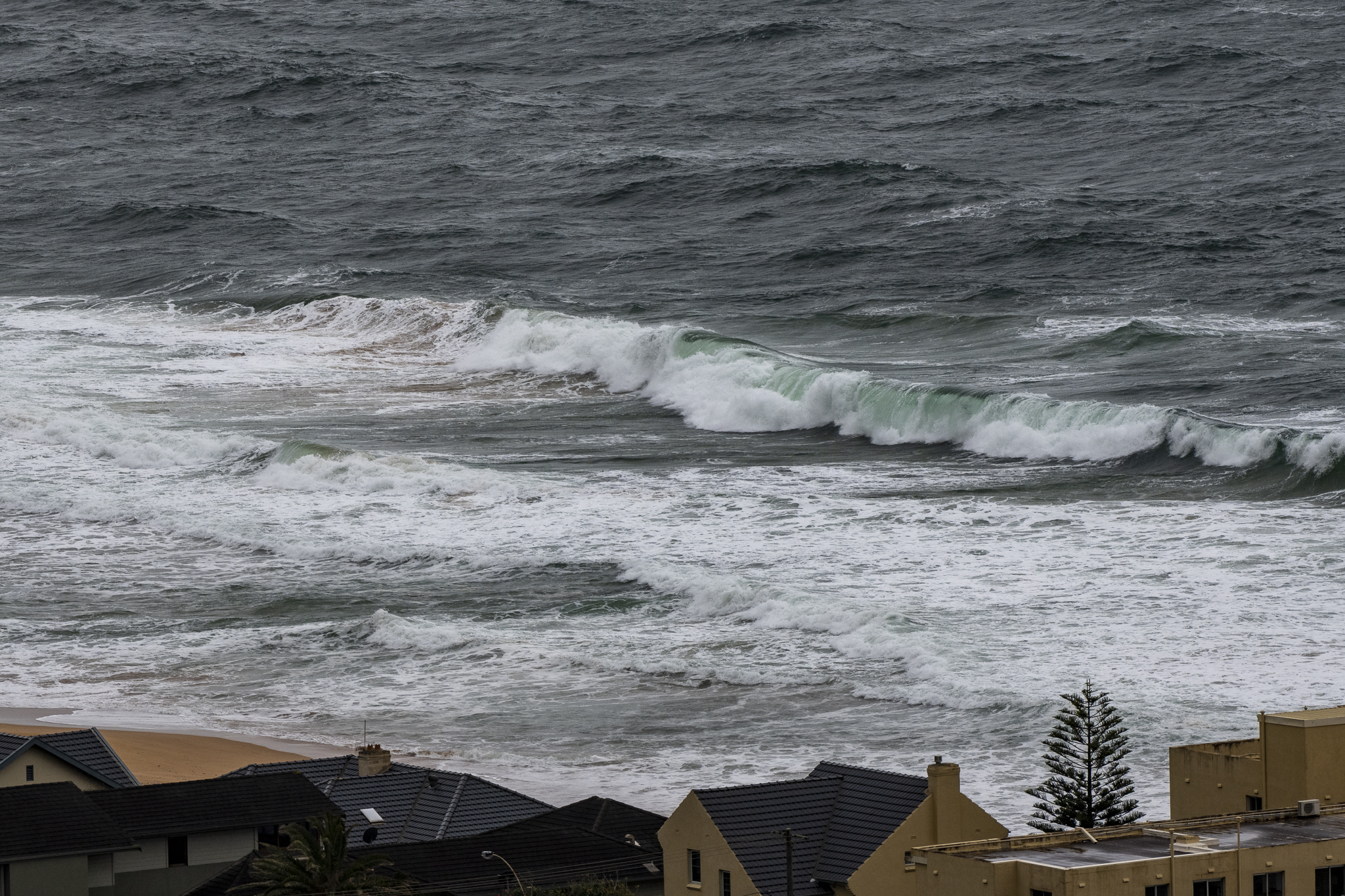
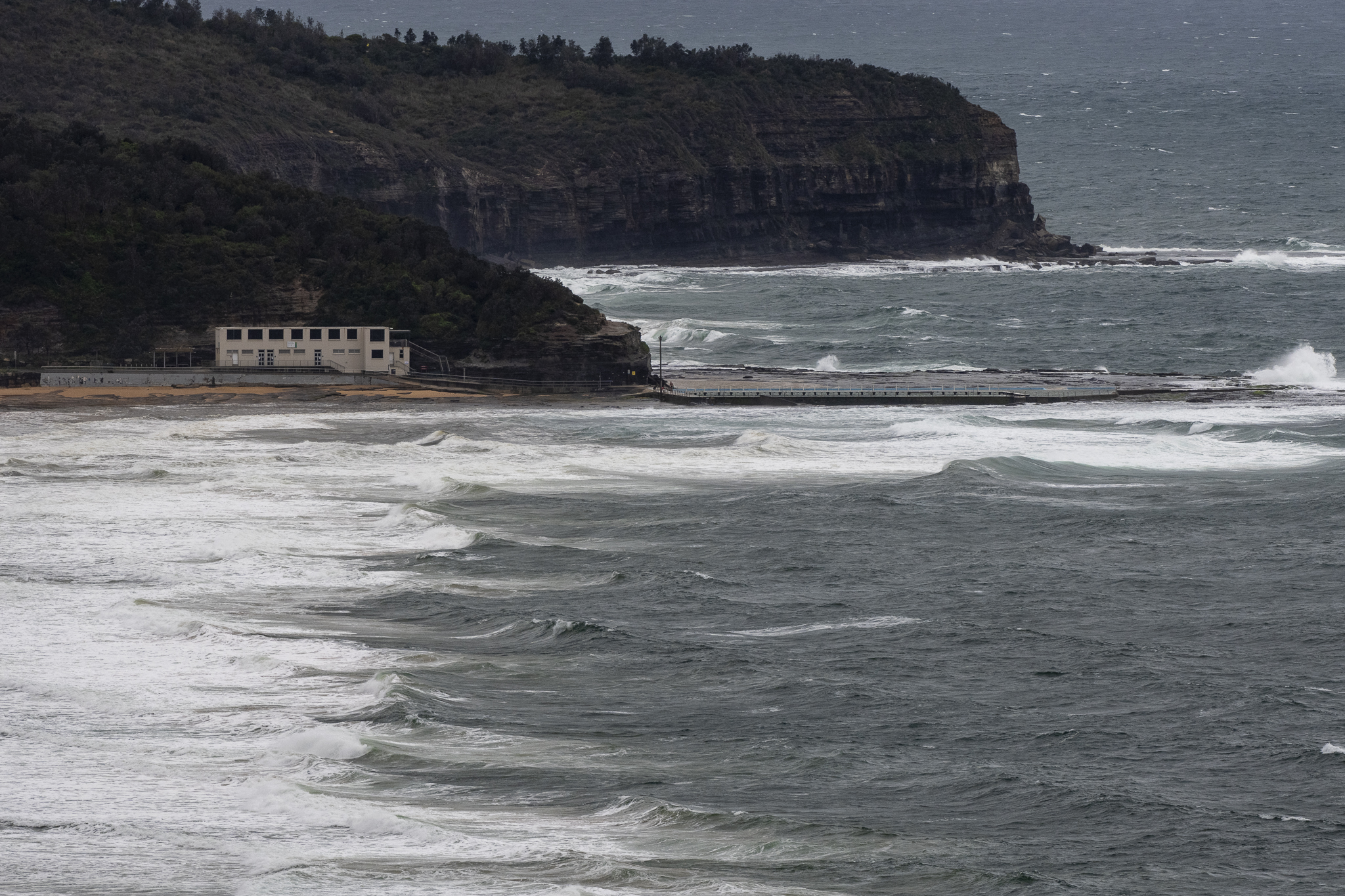
Not a day for a surf. Wind was out of the ENE 13-23 kts as of 0930 and swell was 2.5 metres from the east at a choppy 6 seconds apart. On top of that, my phone buzzed this morning with the following message from Sydney water:
“We have and continuing to partially treated discharge at warriewood wwtp on Thursday 06/10/22 at 0300am. Flows receiving wet weather treatment.”
So, yeah, give it a miss.
The swell models continue to be unhopeful for the next three days or so. The most optimistic prediction I could find showed a possible westerly wind/east swell combo on Sunday afternoon. Happily, it currently looks as though next week could be pretty fun thanks to a combo of 10-12 sec metre plus east swell and morning offshores…
Have a great Thursday!
Weather Situation
A ridge of high pressure extends across the Tasman Sea, directing northeasterly winds over coastal waters, which will strengthen in the south and remain through today and into Friday. A trough is forecast to bring a southerly change to southern and central parts of the coast early Saturday, extending northwards on Sunday and possibly strengthening as a low pressure centre deepens offshore. The low is expected to move steadily away from the coast later Sunday, with conditions easing as a new high becomes dominant.
Forecast for Thursday until midnight
Strong Wind Warning for Thursday for Sydney Coast
- Winds
- Northeasterly 20 to 30 knots, easing to 15 to 25 knots in the late afternoon.
- Seas
- 1.5 to 2.5 metres.
- 1st Swell
- Southerly 1 to 1.5 metres.
- 2nd Swell
- Easterly around 1 metre inshore, increasing to 1 to 1.5 metres offshore by early evening.
- Weather
- Cloudy. Near 100% chance of rain.
Friday 7 October
Strong Wind Warning for Friday for Sydney Coast
- Winds
- Northeasterly 15 to 20 knots turning northerly early in the morning. Winds reaching up to 30 knots offshore in the during the day.
- Seas
- 1 to 1.5 metres, increasing to 1.5 to 2 metres offshore.
- 1st Swell
- Southerly 1.5 metres, decreasing to around 1 metre during the afternoon.
- 2nd Swell
- Easterly around 1 metre, tending northeasterly 1 to 1.5 metres during the morning, then decreasing to around 1 metre around midday.
- Weather
- Partly cloudy. 90% chance of showers. The chance of a thunderstorm.
Saturday 8 October
- Winds
- Northerly 20 to 30 knots tending north to northwesterly 10 to 15 knots during the morning then shifting east to southeasterly 15 to 25 knots during the afternoon.
- Seas
- 1.5 to 2.5 metres, decreasing to 1 metre during the morning.
- 1st Swell
- Northeasterly 1 to 1.5 metres inshore, increasing to 1 to 2 metres offshore.
- 2nd Swell
- Southeasterly around 1 metre.
- Weather
- Cloudy. Near 100% chance of rain.

