Hello Friends,
We’re having a little break from the rain this morning, but it’ll be back by this afternoon and tomorrow could see up to 50mm of the wet stuff. As Friday kicked off the wind was around to the north at 6-9 kts, while dominant swell at sea was 2 metres at 8 seconds from the SSE – but with shorter period stuff from the east too. Tide was high at 0715 and will be back to low at 1300.
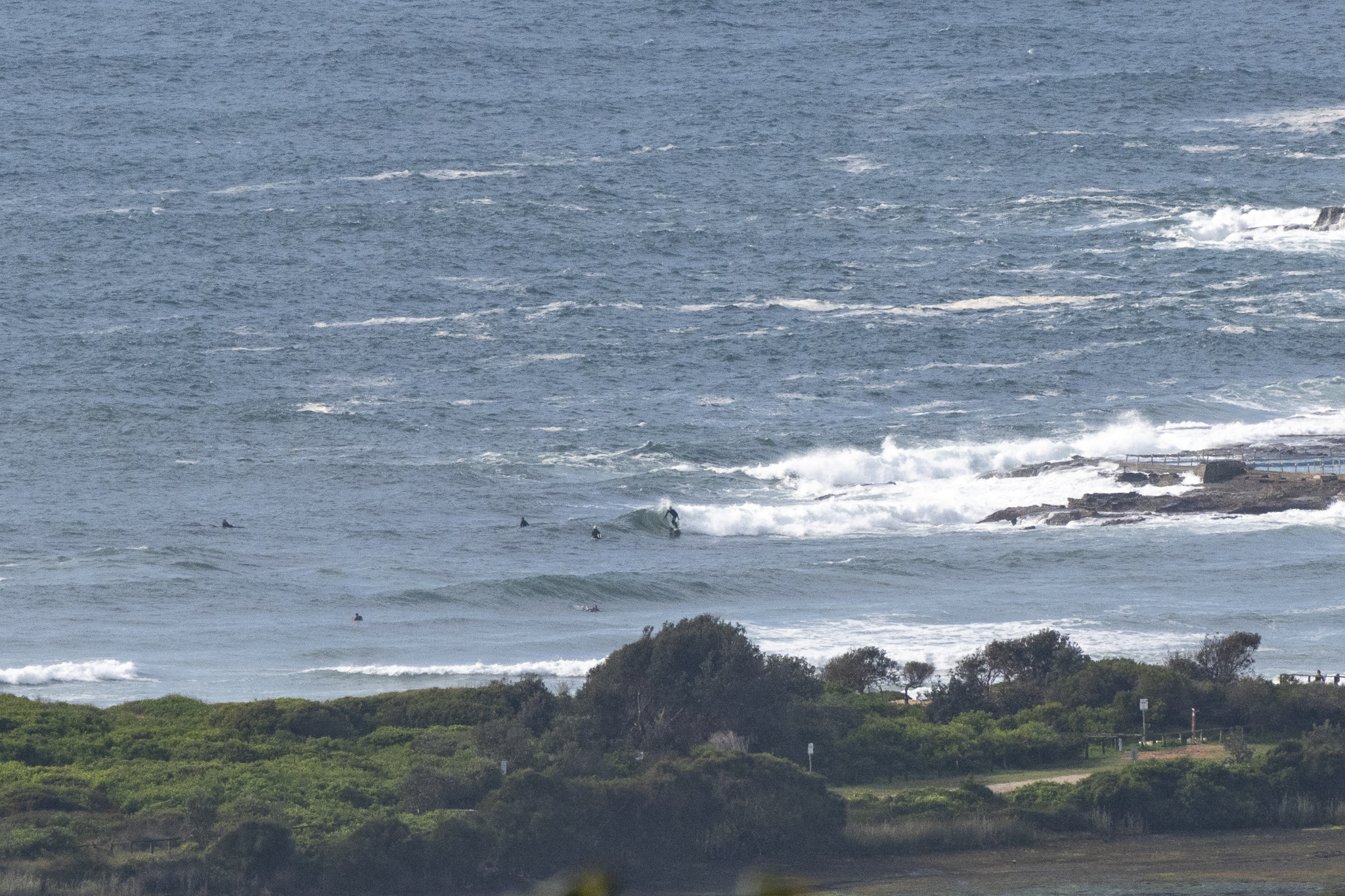
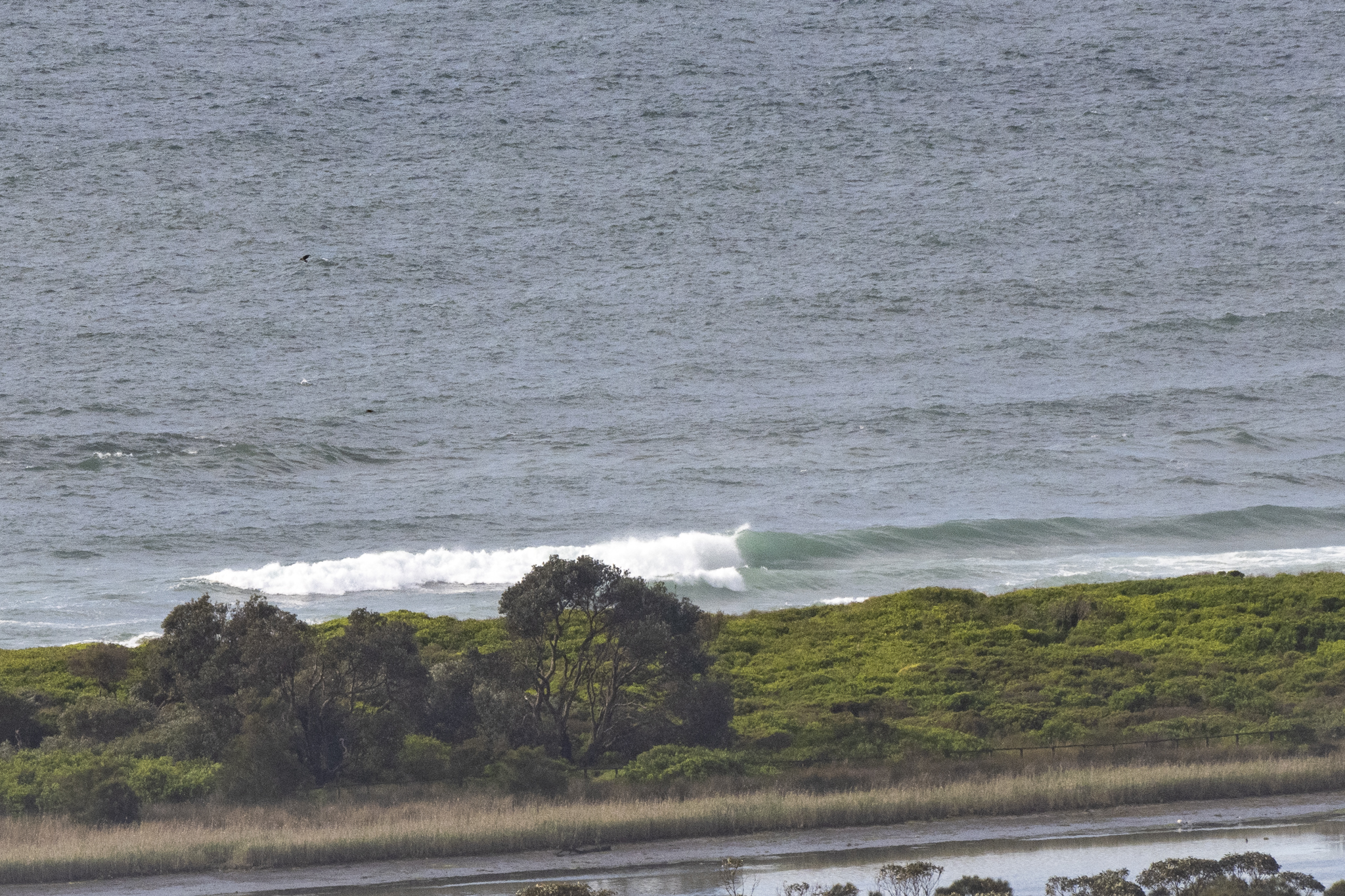
As you can see from the pics, surf was in the knee to waist high range, and weak and sloppy. Unsurprisingly water quality along our beaches ranges from pollution possible to pollution likely. Water temp is still sitting on 18C.
Saturday is looking pretty ordinary but on Sunday we could see a SW wind-S swell combo in the 3+ metre range. Problem is that the weather’s likely to be dire and the water pollution will almost certainly be widespread. Monday should could see 2+ metre south with offshores and sunny conditions – though it’s hard to believe the water quality will have improved. Beyond that it looks as though we should pretty much have 2+ metres of swell all week, but with onshores Tuesday.
Go well with your Friday everyone!
Weather Situation
A ridge of high pressure extends across the Tasman Sea, directing northeasterly winds over coastal waters, which will persist for the remainder of today. A trough is forecast to bring a southerly change to southern and central parts of the coast on Saturday, extending northwards and becoming strong to gale force later that evening and into Sunday morning as a low pressure centre deepens offshore. The low is expected to move rapidly away from the coast by later Sunday, with conditions easing as a new high becomes dominant.
Forecast for Friday until midnight
Strong Wind Warning for Friday for Sydney Coast
- Winds
- Northerly 15 to 20 knots, reaching up to 30 knots offshore in the evening.
- Seas
- 1 to 1.5 metres, increasing to 1.5 to 2.5 metres offshore.
- 1st Swell
- Southerly 1.5 metres, decreasing to around 1 metre by early evening.
- 2nd Swell
- Northeasterly 1 to 1.5 metres, decreasing to around 1 metre during the morning.
- Weather
- Becoming cloudy. 95% chance of showers. The chance of a thunderstorm.
Saturday 8 October
Strong Wind Warning for Saturday for Sydney Coast
- Winds
- Northerly 15 to 25 knots, reaching up to 30 knots offshore early in the morning. Winds turning east to northeasterly 15 to 20 knots in the afternoon, then tending northerly in the evening. A southerly change at 20 to 30 knots moving through the inshore area in the late evening.
- Seas
- 1.5 to 2.5 metres, decreasing to 1 metre around midday.
- 1st Swell
- Northeasterly around 1 metre inshore, increasing to 1 to 1.5 metres offshore.
- 2nd Swell
- Southeasterly around 1 metre.
- Weather
- Cloudy. Near 100% chance of rain. The chance of a thunderstorm.
Sunday 9 October
- Winds
- South to southwesterly 25 to 35 knots, shifting north to northeasterly offshore for the early morning then easing to 20 to 30 knots in the middle of the day and 15 to 25 knots in the afternoon.
- Seas
- 1 to 2 metres, increasing to 2 to 3 metres during the morning.
- 1st Swell
- Southerly around 1 metre, increasing to 1.5 to 2.5 metres during the morning.
- 2nd Swell
- Northeasterly around 1 metre inshore, increasing to 1 to 2 metres offshore.
- Weather
- Cloudy. 95% chance of rain. The chance of a thunderstorm.


