Hello Friends,
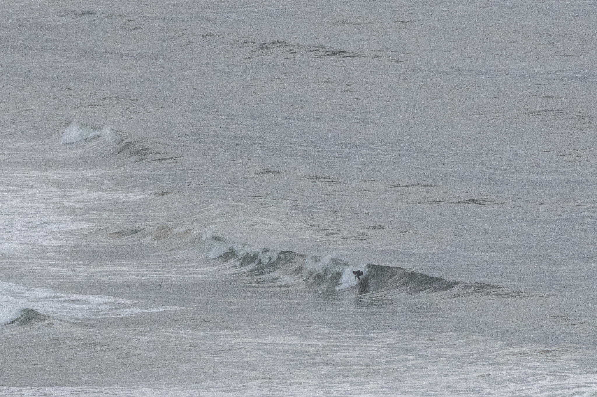
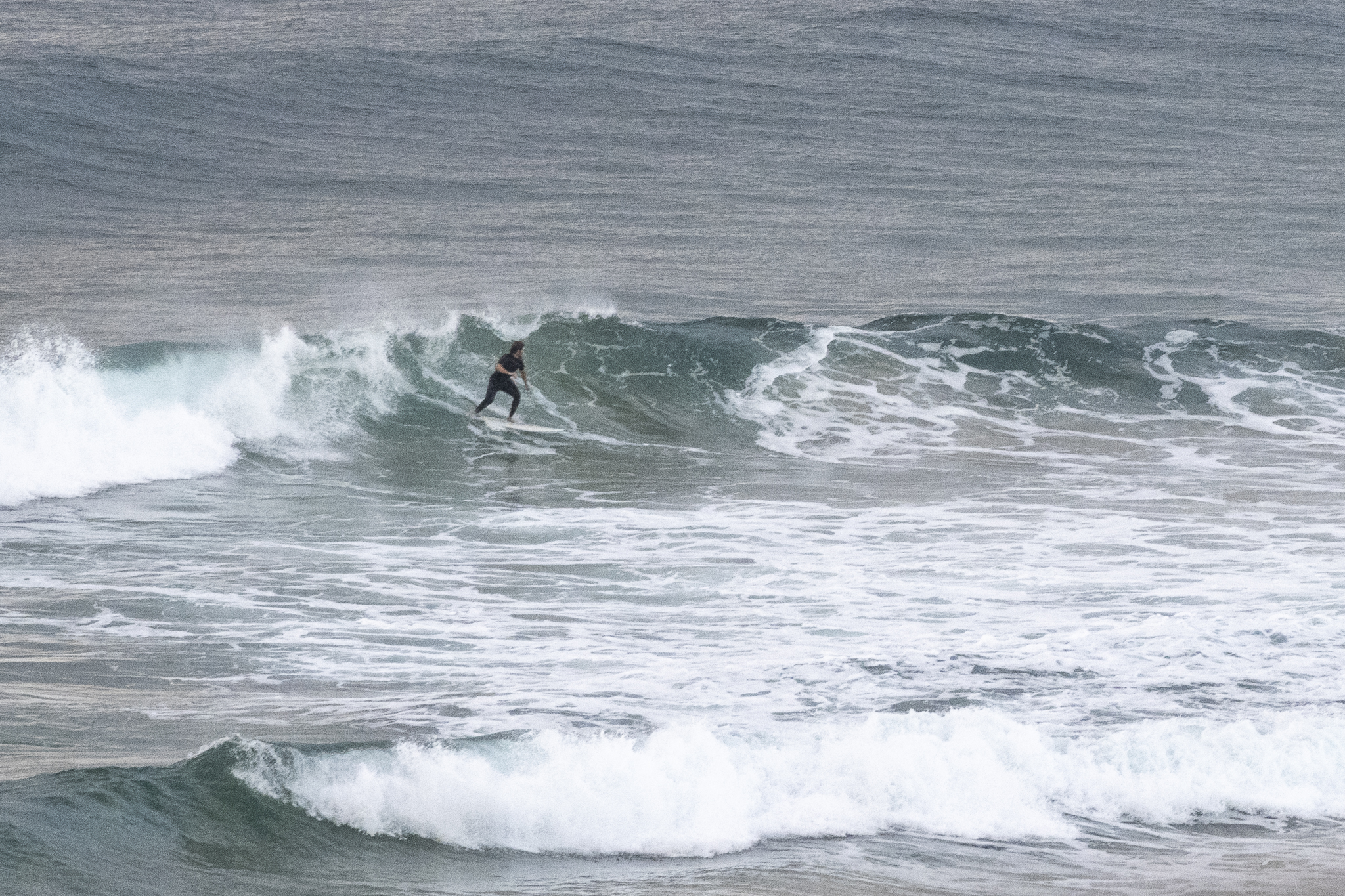
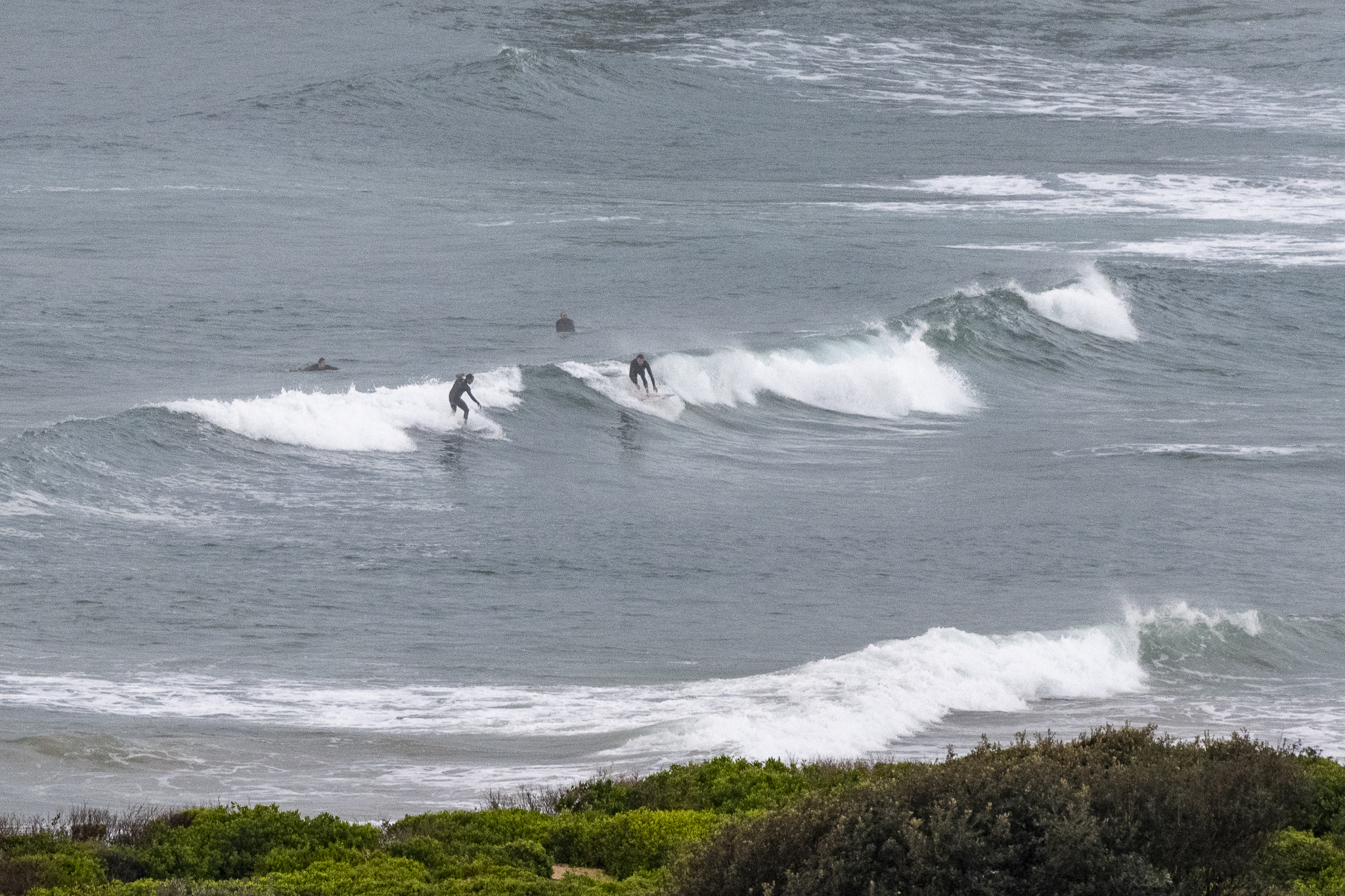
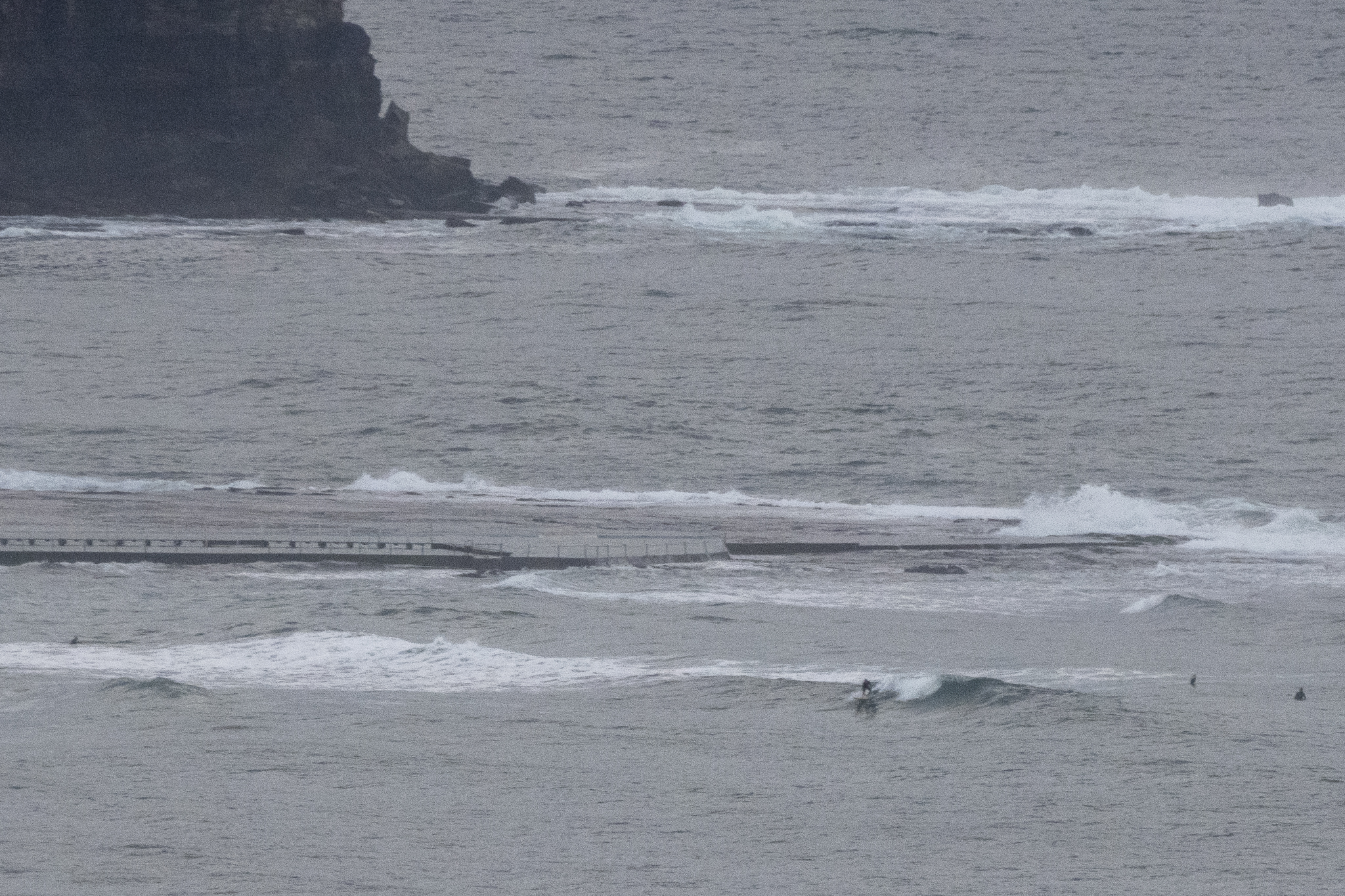
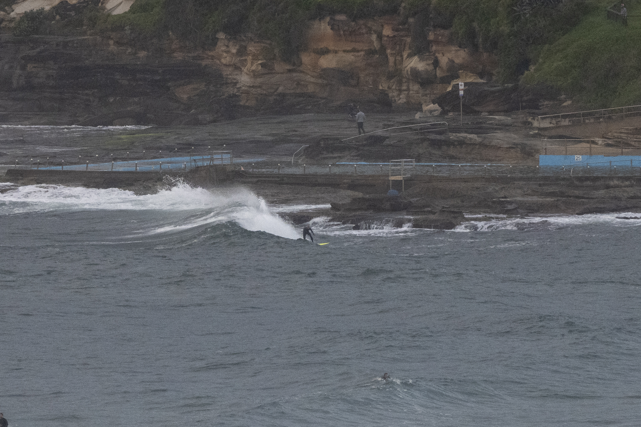
Actual patches of blue sky this morning, but big rains are in the forecast for this afternoon. We have a small, inconsistent and high tide affected 1.9 metre 8-second ENE wind swell as Saturday gets started. Surface conditions were reasonably smooth, even glassy as of 0700 and wave faces on the very occasional sets were in the waist plus range at better exposures. Wind was coming just faintly from the WNW and is expected to pick up and then swing SE later this afternoon as the rain turns up.
Tomorrow is looking like a great morning to stay in bed for the early with a wind call for southerly wind and more rain. The swell should pick up though and with luck Monday morning will see SW wind and a residual swell in the chest plus range at the best spots. Beyond that, Wednesday and Thursday are still looking reasonably hopeful according to the latest modelling.
Go well with your Saturday and here’s hoping the rain’s not too bad later.
Weather Situation
A strong high pressure system over the Tasman Sea is directing northeasterly winds over coastal waters, which will persist for the remainder of today. A trough is forecast to bring a southerly change to southern and central parts of the coast on Saturday, extending northwards and becoming fresh to strong and gusty later that evening and into Sunday morning as a low pressure centre deepens offshore. The low is expected to move rapidly away from the coast by later Sunday, with conditions easing as a new high becomes dominant.
Forecast for Saturday until midnight
Strong Wind Warning for Saturday for Sydney Coast
- Winds
- North to northwesterly 15 to 25 knots tending northeast to southeasterly in the late afternoon then tending northeasterly in the late evening. Winds reaching up to 30 knots early in the morning and again in the late evening.
- Seas
- 1.5 to 2.5 metres, decreasing below 1 metre during the morning.
- 1st Swell
- Northeasterly 1 to 1.5 metres, increasing to 1.5 to 2 metres during the morning, then decreasing to 1.5 metres during the afternoon.
- 2nd Swell
- Southeasterly around 1 metre.
- Weather
- Cloudy. Near 100% chance of rain. The chance of a thunderstorm.
Sunday 9 October
Gale Warning for Sunday for Sydney Coast
- Winds
- Southerly 25 to 35 knots decreasing to 20 to 30 knots in the morning then decreasing to 15 to 25 knots in the afternoon. Winds easing to 10 to 15 knots inshore in the evening.
- Seas
- 1 to 1.5 metres, increasing to 2 to 3 metres during the morning, then decreasing to 1.5 to 2 metres during the afternoon.
- 1st Swell
- Southerly 1 to 1.5 metres, increasing to 1.5 to 2 metres during the morning.
- 2nd Swell
- Northeasterly around 1 metre inshore, increasing to 1 to 1.5 metres offshore.
- Weather
- Cloudy. 95% chance of rain. The chance of a thunderstorm.
Monday 10 October
- Winds
- Southwesterly 10 to 15 knots becoming variable below 10 knots during the morning then becoming easterly 10 to 15 knots during the evening.
- Seas
- Around 1 metre.
- 1st Swell
- Southerly 1 to 2 metres, decreasing to around 1 metre during the morning.
- 2nd Swell
- Easterly around 1 metre.
- Weather
- Partly cloudy.