Hello Friends,
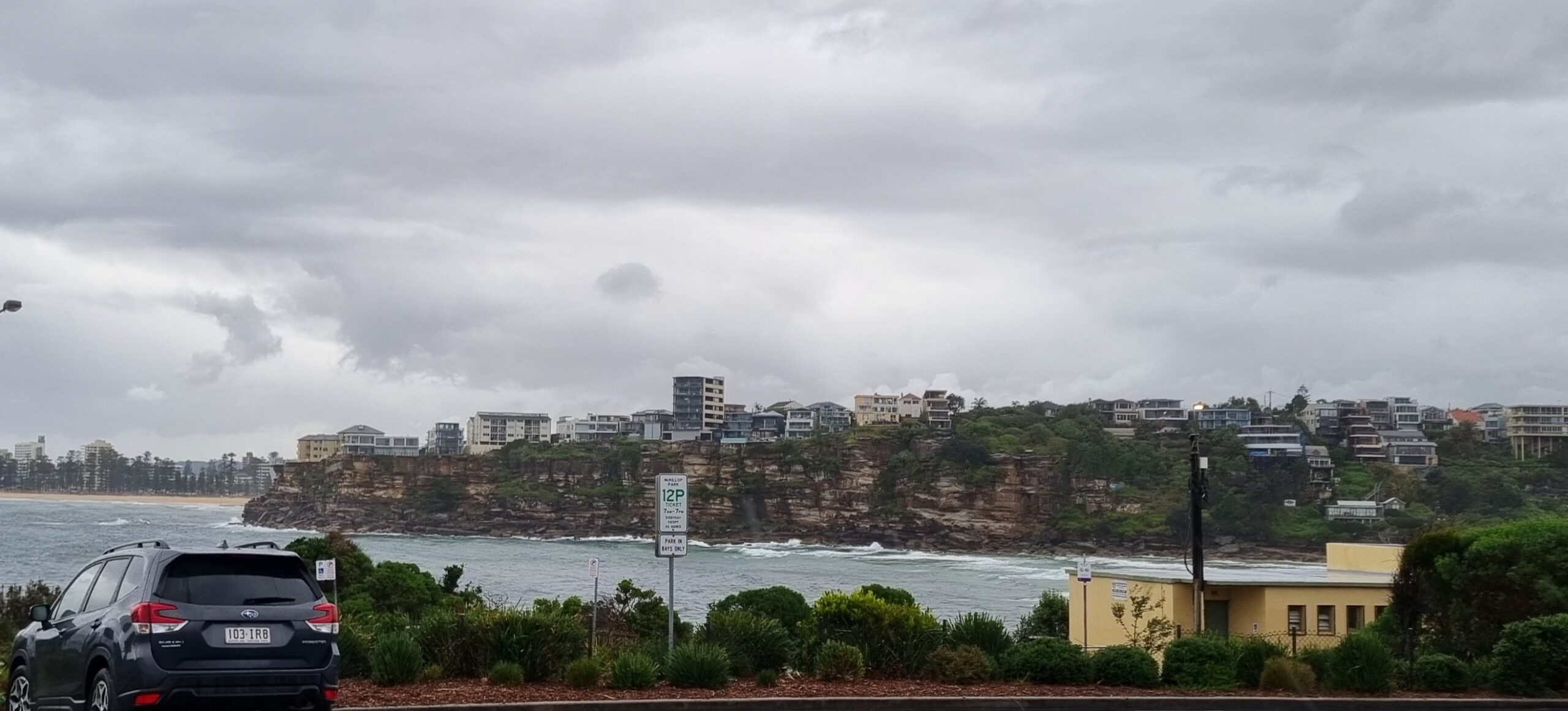
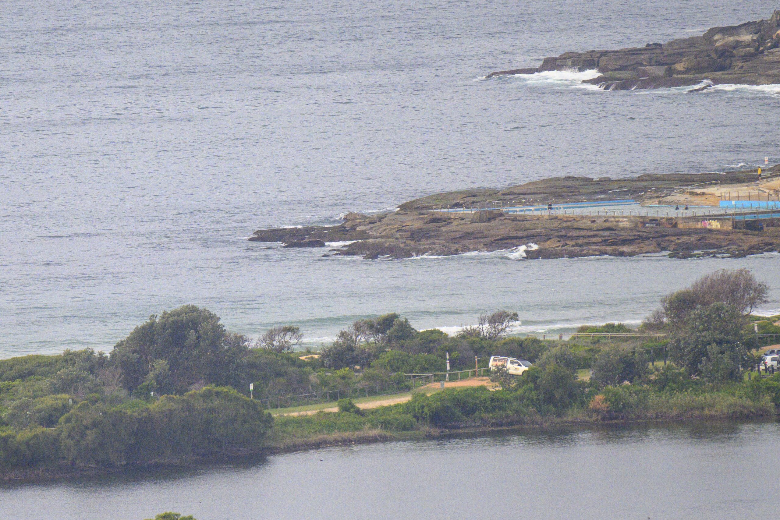
The day kicked off with a band of showers coming in from the south along with 15-20 kts of SE wind. Overnight the swell out at sea swung from the ESE to SSW and the period dropped from 12 to just 6 seconds. So, it’s pretty much onshore, tiny and gutless. Sorry to say, it doesn’t look as though things will improve for a few days yet.
Have a good Monday everyone!
Weather Situation
A trough is bringing a southerly change to southern and central waters today before stalling and weakening as a high moves into the Tasman Sea. This high will remain slow-moving thereafter, directing fresh to strong northeasterly winds along the coast through to the weekend.
Forecast for Monday until midnight
- Winds
- South to southeasterly 10 to 15 knots tending east to southeasterly in the morning. Winds reaching up to 20 knots inshore during the day.
- Seas
- Around 1 metre, increasing to 1 to 1.5 metres inshore during the morning.
- 1st Swell
- Southerly around 1 metre.
- 2nd Swell
- Easterly around 1 metre.
- Weather
- Cloudy. 95% chance of showers. A thunderstorm likely offshore in the morning and early afternoon.
Tuesday 18 October
- Winds
- Easterly 10 to 15 knots turning northeasterly 15 to 20 knots in the morning.
- Seas
- Around 1 metre, increasing to 1 to 1.5 metres offshore during the morning.
- Swell
- Southerly around 1 metre inshore, increasing to 1 to 1.5 metres offshore.
- Weather
- Partly cloudy. 60% chance of showers.
Wednesday 19 October
- Winds
- Northerly 15 to 20 knots becoming variable about 10 knots during the morning then becoming northeasterly 10 to 15 knots during the afternoon.
- Seas
- 1 to 1.5 metres, decreasing below 1 metre during the morning.
- Swell
- Southerly below 1 metre.
- Weather
- Mostly sunny.


