Hello Friends,
Looked pretty solid this morning on the Sydney cams. Dee Why appeared to be getting overwhelmed by the combo of the swell direction and size so, while there were some makeable overhead sections, there were also lots of unmakeable shutdowns in the mix. Maybe look to somewhere really protected like Collaroy or south Palmy if you’re desperate to get in.
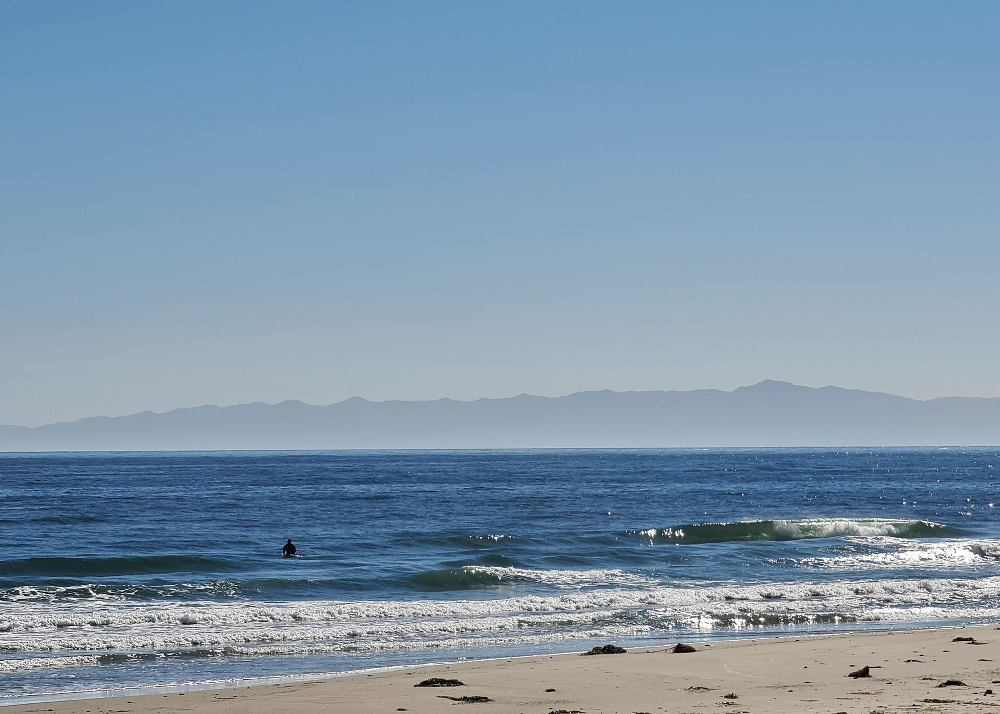
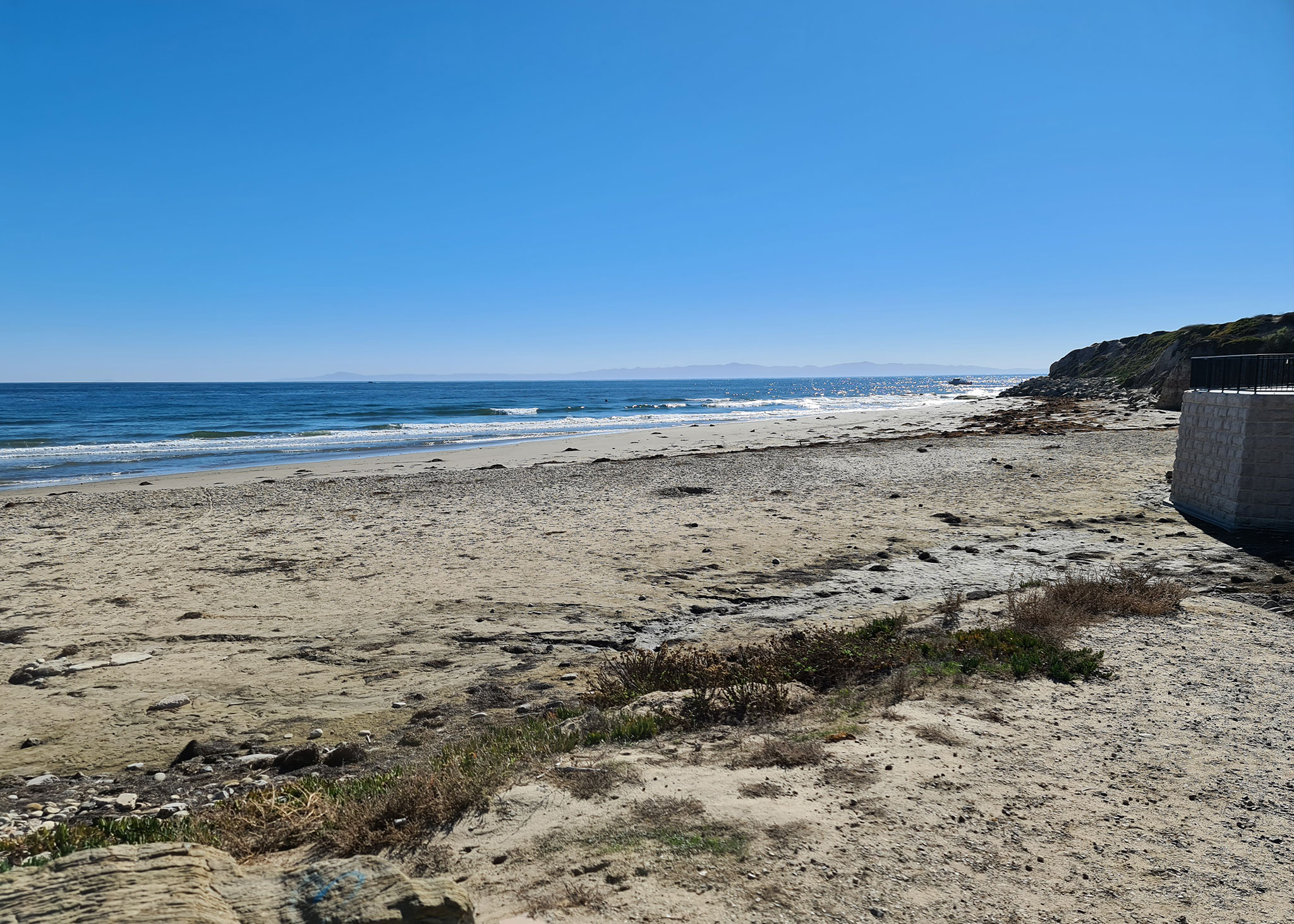
The pictures tell the story for the Santa Barbara region in California – more beautiful late autumn weather but barely a ripple above the knee high mark for surfers.
Tomorrow and Saturday morning might be okay for experienced riders at south swell spots thanks to light wind early and a only gradually fading south swell.
Have yourself a great day everyone!
Weather Situation
Fresh to strong southerly winds over the coming days as a strong high in the west and deep low in the Tasman Sea interact. Winds easing and shifting northerly by the weekend as the high moves into the Tasman Sea, before strengthening again and shifting westerly on Sunday with the passage of a front.
Forecast for Thursday until midnight
Strong Wind Warning for Thursday for Sydney Coast
- Winds
- Southwesterly 20 to 30 knots turning southerly 20 to 25 knots during the afternoon and evening.
- Seas
- 1.5 to 2.5 metres.
- Swell
- Southerly 2.5 to 3 metres.
- Weather
- Mostly sunny.
Friday 18 November
- Winds
- South to southwesterly 15 to 25 knots tending south to southeasterly 10 to 15 knots during the afternoon and evening.
- Seas
- 1.5 to 2 metres, decreasing to 1 to 1.5 metres during the morning.
- Swell
- Southerly 2 to 2.5 metres.
- Weather
- Mostly sunny.
Saturday 19 November
- Winds
- Variable about 10 knots becoming northeasterly 20 to 30 knots during the day then tending northerly during the evening.
- Seas
- Below 1 metre, increasing to 1 to 2 metres during the afternoon or evening.
- Swell
- Southerly 1.5 to 2 metres, tending southeasterly 1.5 metres during the afternoon.
- Weather
- Mostly sunny

