Hello Friends,
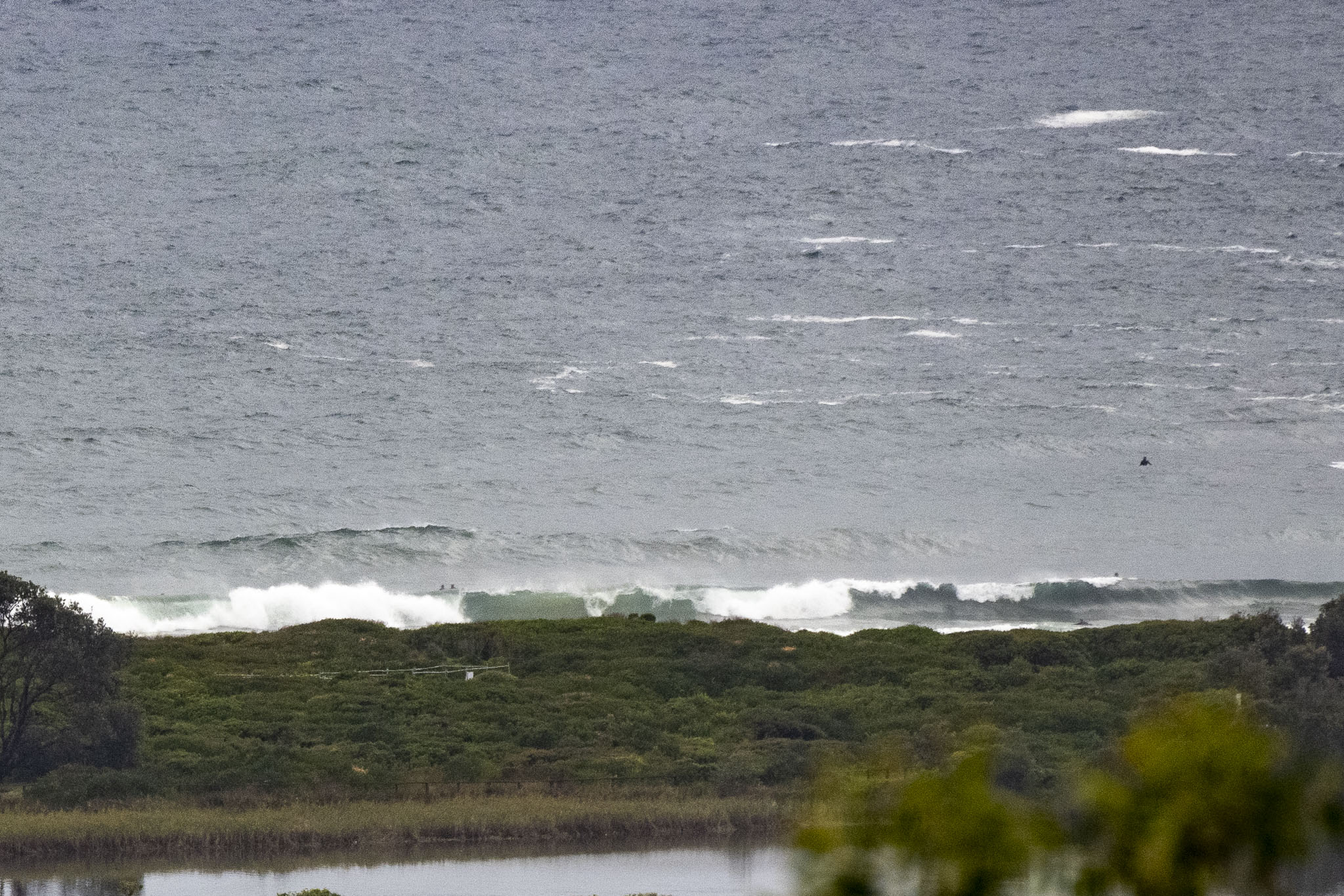
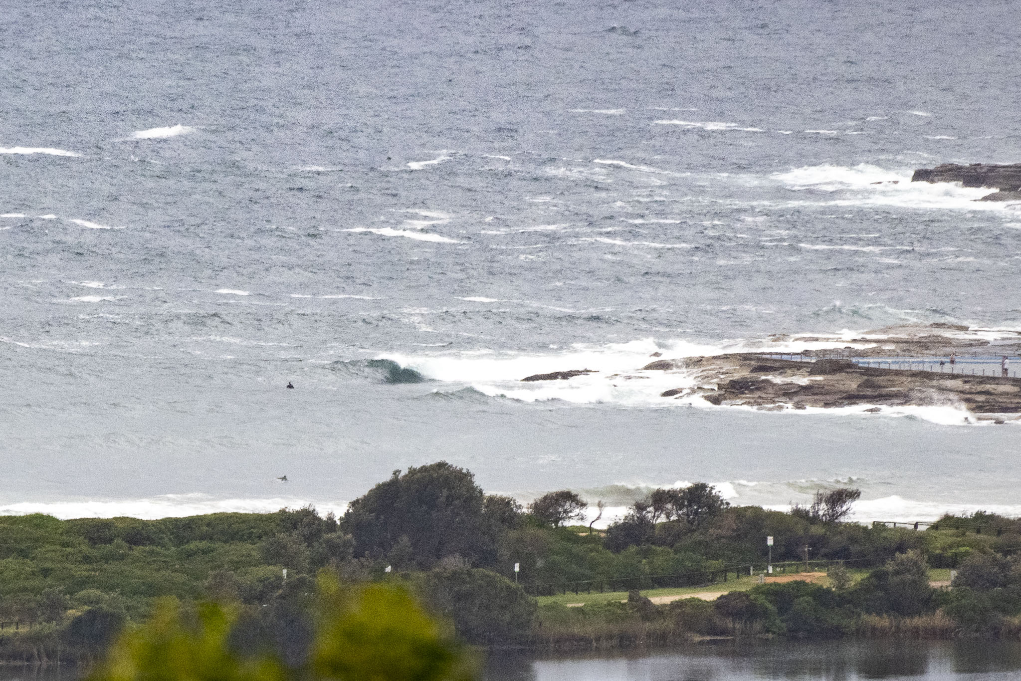
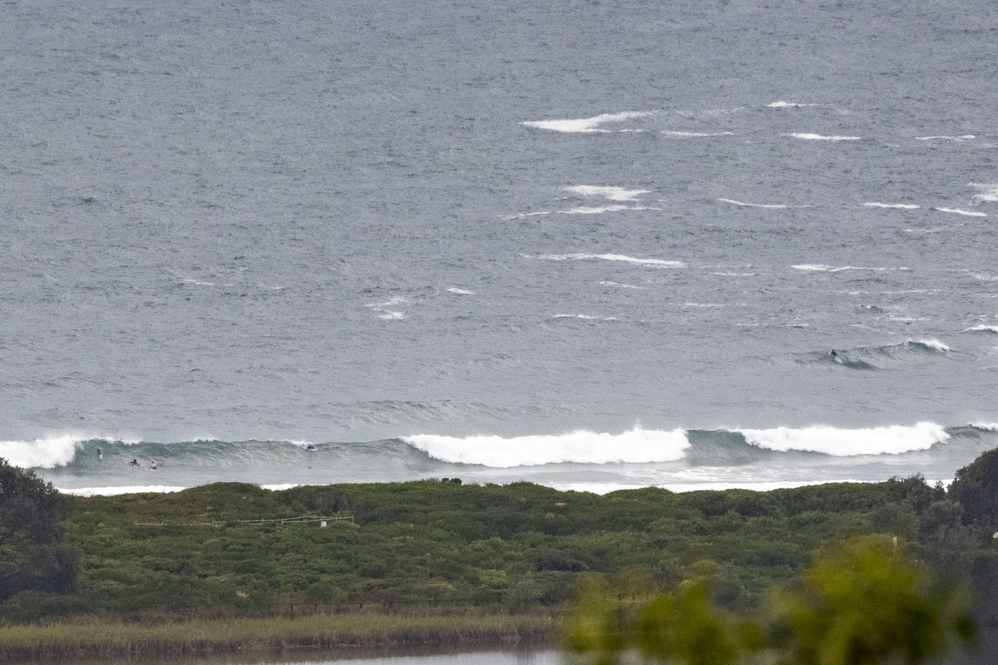
Well it’s not flat anyway. However, surface conditions were looking choppy and lumpy at 0730. Wind was 8-11 kts from the ENE, but the forecast is calling for 15-20 kts NE later. Swell was 1.6 metres from the east, but period was a gutless 5-6 seconds. There were a few stalwart types giving it a go, however after the overnight downpour has sluiced a lot of gunk into the water according to the Beachwatch folks. They’re reporting suss water from Bilgola to Manly. Not sure why you’d roll the dice on some sort of “interesting” infection for these junky conditions.
I won’t steal the Goat’s thunder, but next week looks interesting on some of the swell prediction models, so be sure to check back later today for the mighty one’s thoughts.
In the meantime, have yourself a great, albeit rainy, Thursday.
Weather Situation
A high pressure system lies over the Tasman sea, while a weak trough remains almost stationary over the southern New South Wales coast bringing northeasterly winds over most waters. The next significant southerly change expected on Sunday.
Forecast for Thursday until midnight
- Winds
- Easterly 15 to 20 knots turning northeasterly during the morning.
- Seas
- Around 1 metre, increasing to 1 to 1.5 metres during the morning.
- Swell
- Southerly 1 to 1.5 metres.
- Weather
- Partly cloudy. 80% chance of showers. The chance of a thunderstorm.
Friday 10 February
- Winds
- Northeasterly 15 to 20 knots.
- Seas
- 1 to 1.5 metres.
- Swell
- Southerly around 1 metre inshore, increasing to 1 to 1.5 metres offshore.
- Weather
- Partly cloudy. 50% chance of showers.
Saturday 11 February
- Winds
- Northerly 10 to 15 knots tending northeasterly 15 to 25 knots during the day.
- Seas
- 1 to 1.5 metres.
- 1st Swell
- Southerly around 1 metre.
- 2nd Swell
- Northeasterly around 1 metre.
- Weather
- Sunny.


