Hello Friends,
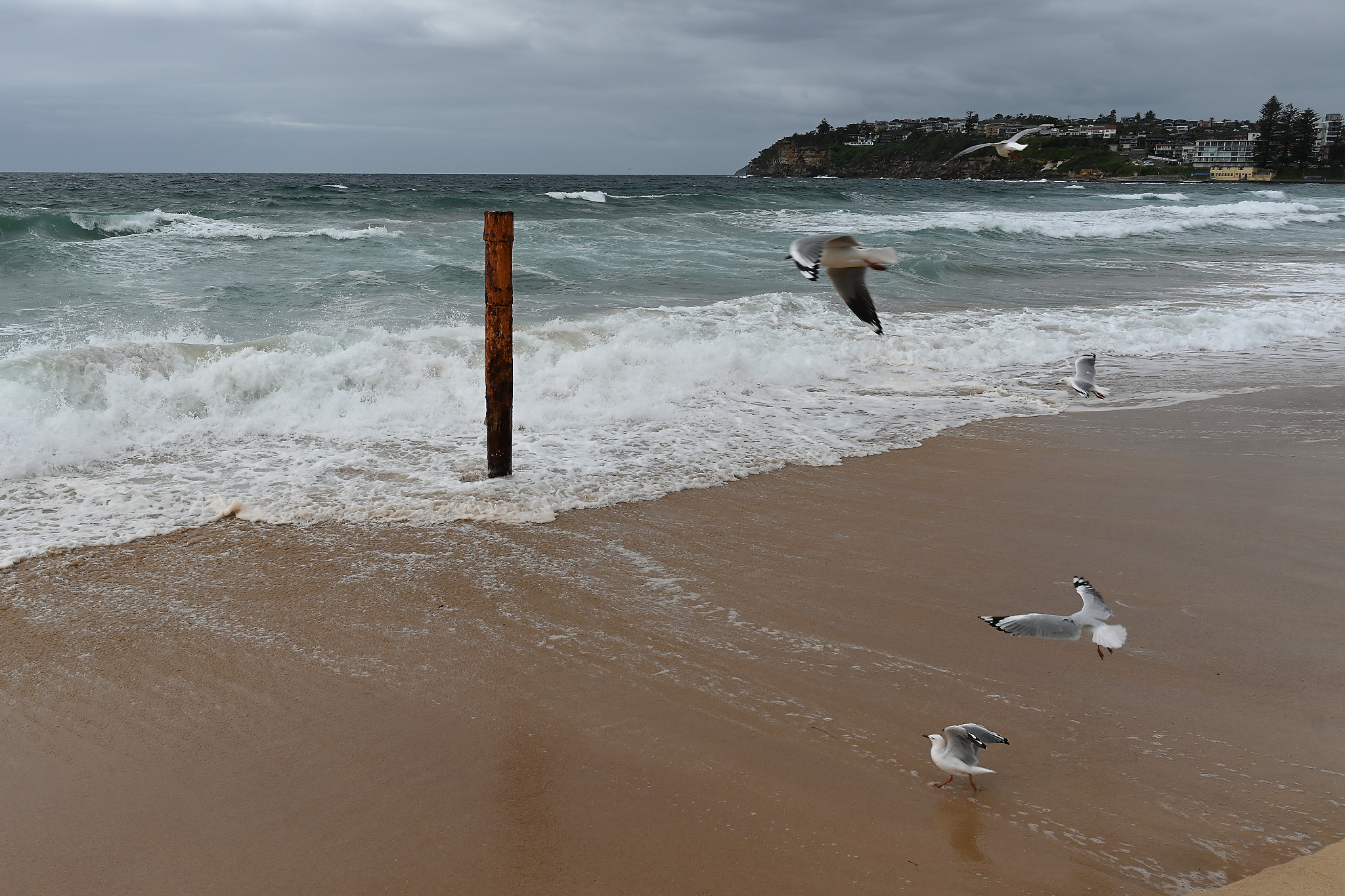
Ocean looked unappetizing this morning from RealSurf HQ. That’s not really surprising given the combination of a steady 11-17 kt SE wind, a 1.7 metre 8-second period south swell and a swampy 1.9 metre high tide at 0850.
Have a great start to your day.
Weather Situation
A high pressure system near Tasmania will drift eastwards across the Tasman Sea through the rest of the working week, resulting in winds shifting more easterly over the coming days. Then a low pressure system is forecast to form off the Gippsland Coast and head into the Tasman Sea midweek, with its associated trough bringing a southerly wind change during the latter part of the week.
Forecast for Tuesday until midnight
- Winds
- Southeasterly 15 to 20 knots turning easterly 10 to 15 knots in the middle of the day.
- Seas
- 1 to 1.5 metres, decreasing to 1 metre during the morning.
- Swell
- Southerly 2 to 2.5 metres.
- Weather
- Partly cloudy.
Wednesday 22 March
- Winds
- Northeasterly 15 to 20 knots turning northerly in the late evening.
- Seas
- Around 1 metre, increasing to 1 to 1.5 metres offshore during the morning.
- Swell
- Southerly 1.5 to 2 metres, decreasing to 1.5 metres during the morning.
- Weather
- Partly cloudy. The chance of a thunderstorm inshore in the afternoon and evening.
Thursday 23 March
- Winds
- Northerly 15 to 25 knots.
- Seas
- Around 1 metre, increasing to 1 to 1.5 metres offshore.
- Swell
- Southeasterly 1 to 1.5 metres, decreasing to around 1 metre during the morning.
- Weather
- Partly cloudy. 70% chance of showers. The chance of a thunderstorm.


